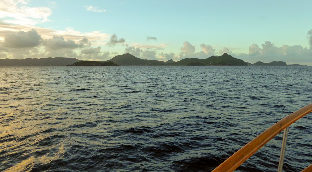
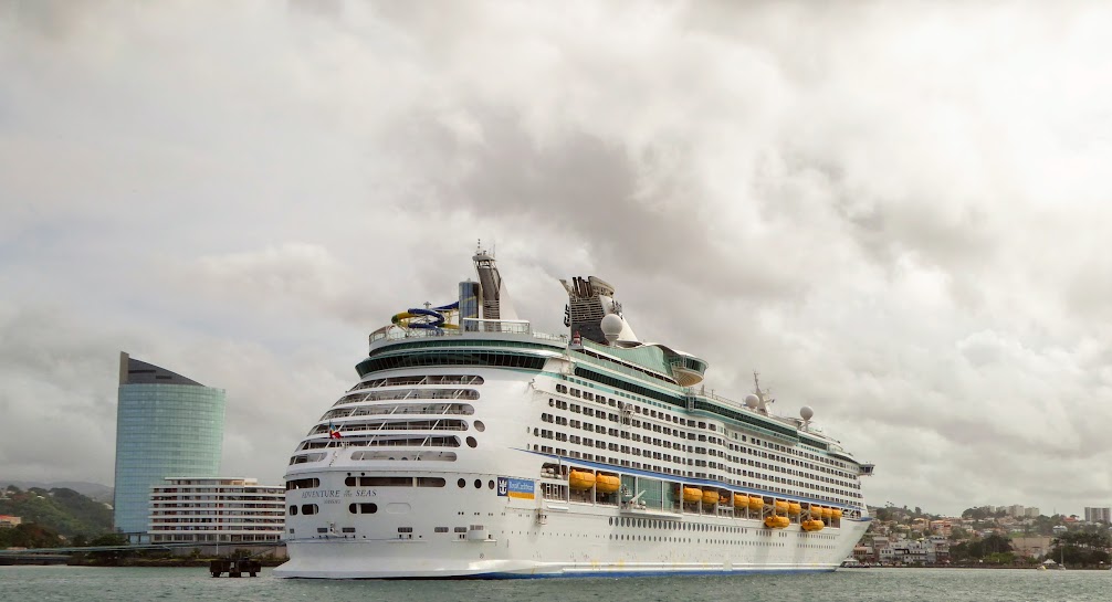
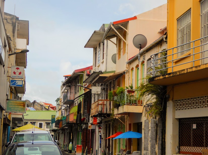
Scott and I try to see and learn as much about our surroundings as possible in each location we visit. On Grenada, cruisers raved about seeing the island with Cutty’s Tours. We were told that Cutty, a local Grenadian, is full of knowledge about the island’s history, culture, animals and plants, so when there was an opening in one of his tours, we jumped at it. Settle in…we saw a lot and learned much.
First, a quick bit of island history…
Christopher Columbus sighted Grenada in 1498, during his third voyage
to the Americas. However, it wasn’t until 1609, that English tobacco planters attempted to settle the island; within a year, most were killed by the Carib Indians. Forty years later, the French purchased the island from the Carib, for a few hatchets, some glass beads and two bottles of brandy (not a bad deal!).
As you might imagine, not all of the Carib were pleased with the deal, and skirmishes continued until the French chased the last of the Indians to the northern end of the island. Rather than submit to the colonists, the remaining Carib, men, women and children, jumped to their deaths from the island’s cliffs.
Like many Caribbean islands, control of Grenada shifted back and forth between France and Britain, until France seceded the island to the British under the Treaty of Paris, in 1783.
Grenada received its independence on February 7th, 1974. By 1979, the state of the island’s politics had become a concern to American officials, when the leftist Maurice Bishop seized power and began to develop close relations with Cuba. In 1983, another Marxist, Bernard Coard, had Bishop assassinated and took control of the government. Protesters clashed with the new government, violence escalated and in little more than a week, Grenada’s government was overthrown.
There were nearly 1,000 Americans in Grenada at the time, many of them students at the island’s medical school. Citing concerns for danger to these citizens, and fears of a repeat of the Iran Hostage Crisis, President Ronald Reagan ordered nearly 2,000 U.S. troops to Grenada. They soon found themselves facing opposition from Grenadian armed forces, and groups of Cuban military engineers, who were on there to repair and expand the island’s airport.
The fact that U.S. forces had to rely on minimal intelligence about the situation, and about the island, didn’t help matters (maps used by many of them were, in fact, old tourist maps of the island!) As a result, Reagan ordered in more troops, and by the time the fighting was done (in a matter of weeks), nearly 6,000 U.S. troops were in Grenada. Nearly 20 of these troops were killed and over a hundred wounded; over 60 Grenadian and Cuban troops were killed.
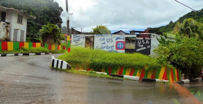
The invasion resulted in the appointment of an interim government, followed by democratic elections in 1984 (The country has remained a democratic nation since that time). Grenadians appreciated the fact that there had been relatively few civilian casualties, as well as the return to democratic elections. The date of the invasion is now a national holiday on the island, called Thanksgiving Day, which commemorates the freeing, after the invasion, of several political prisoners, who were later elected into office.
On to the island sights, sounds and smells…
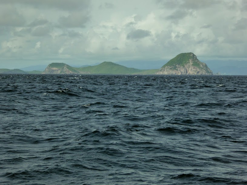
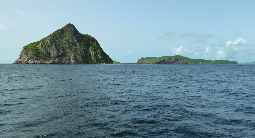
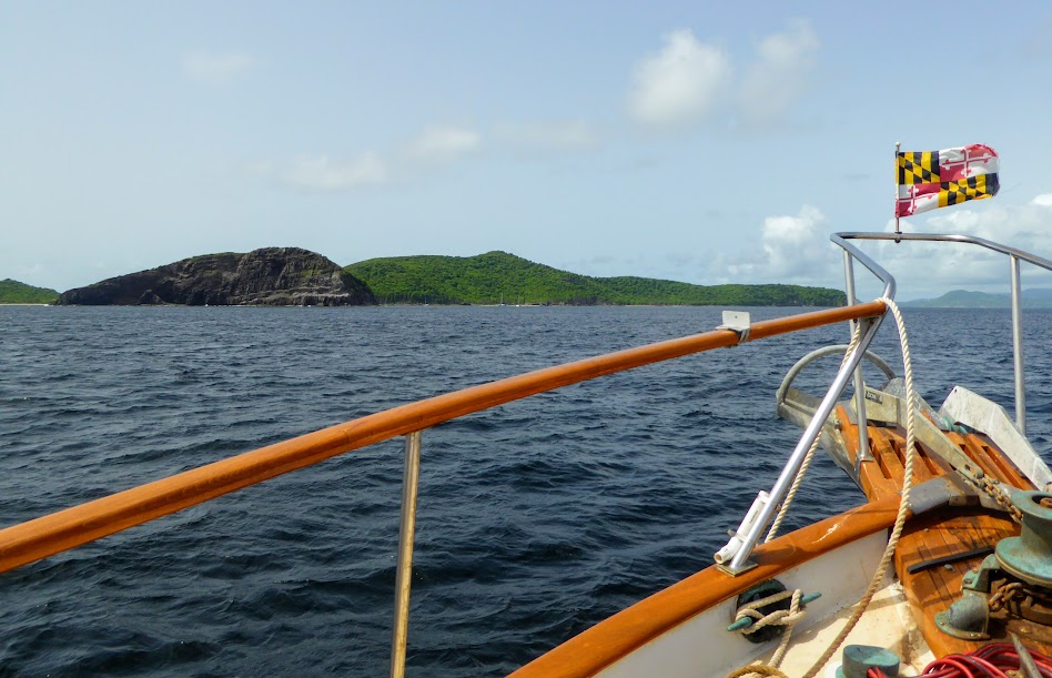
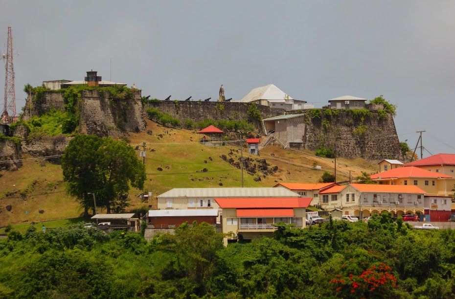
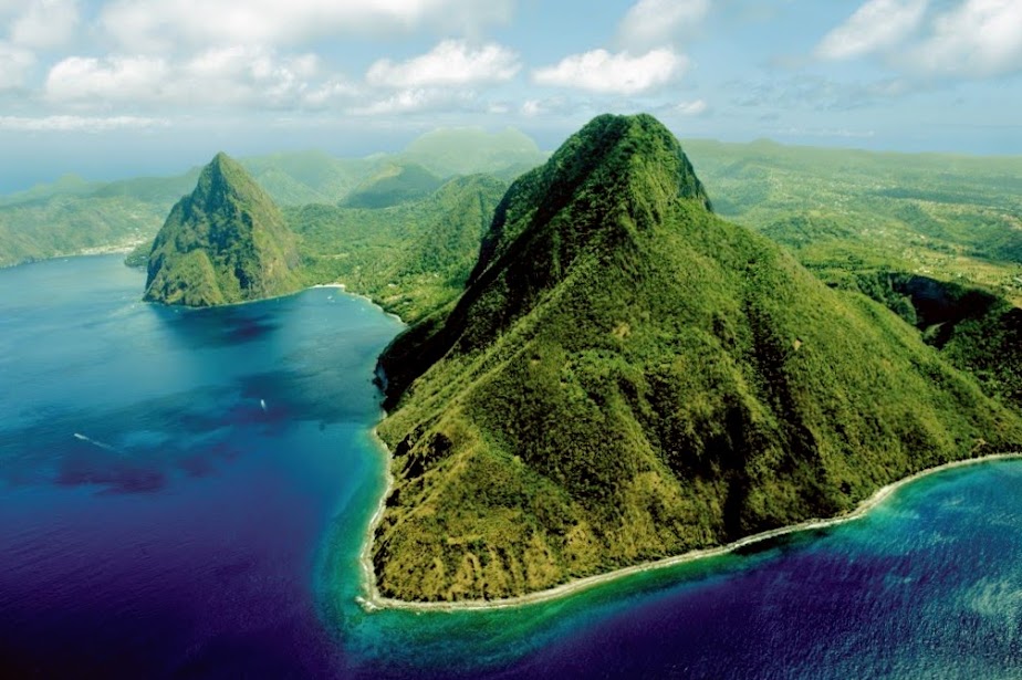
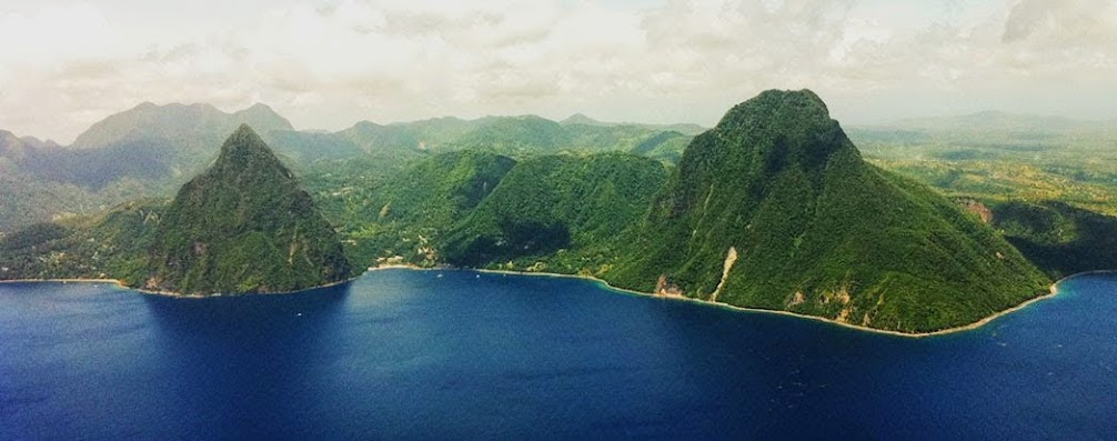
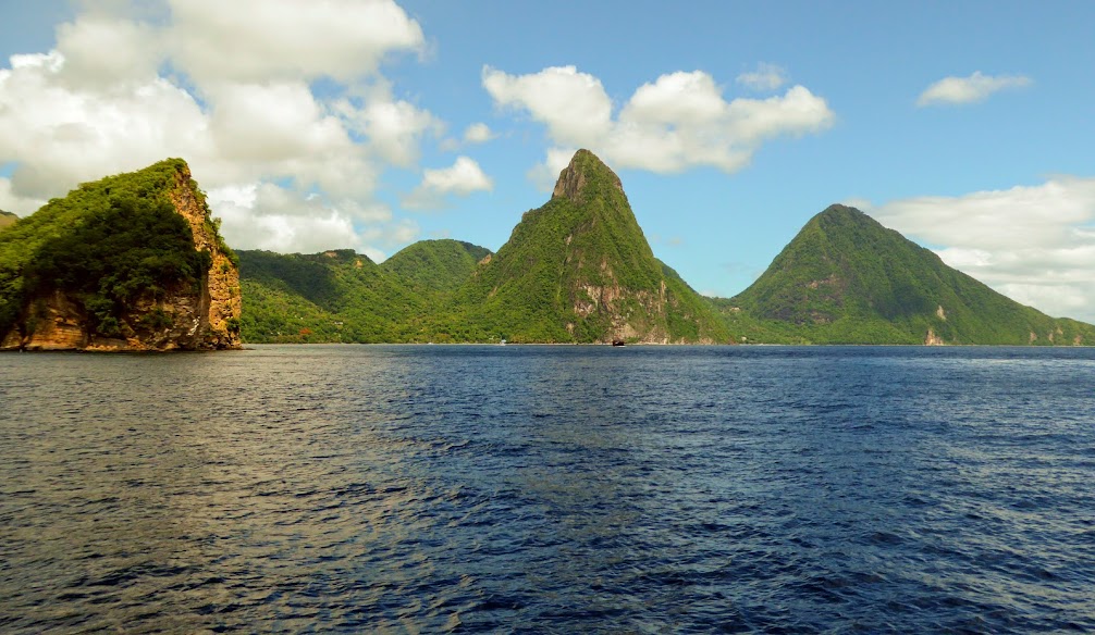
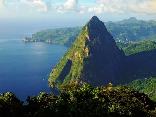
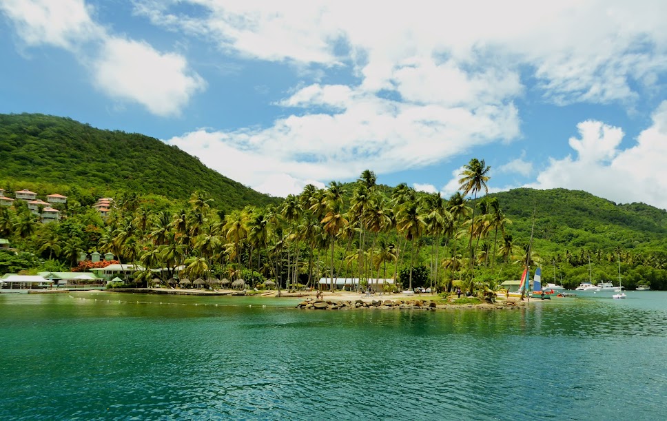
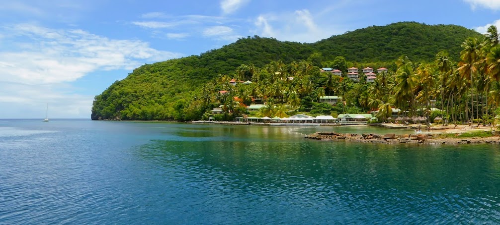
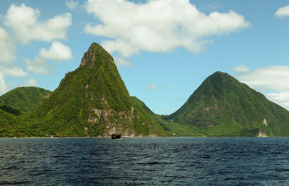
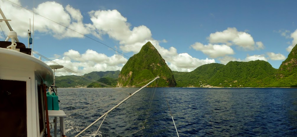
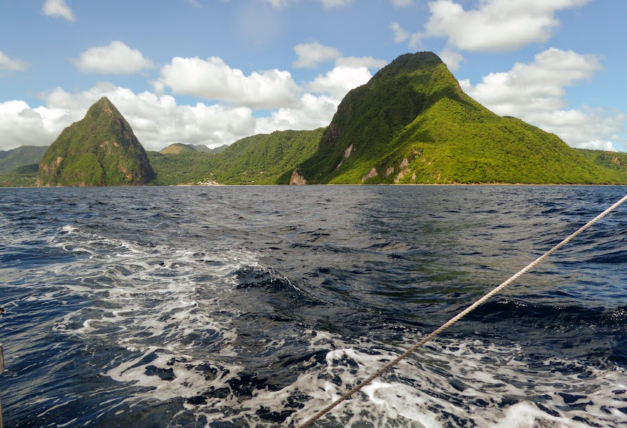
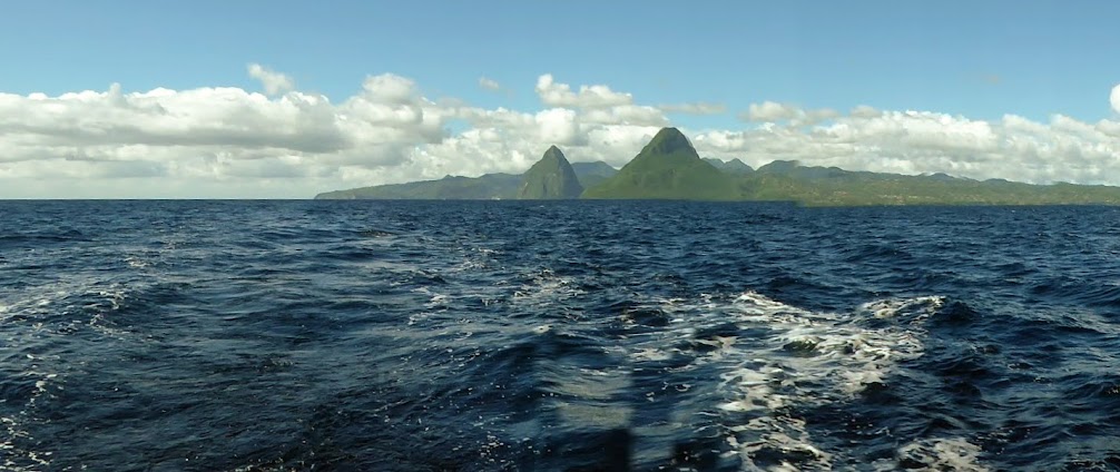
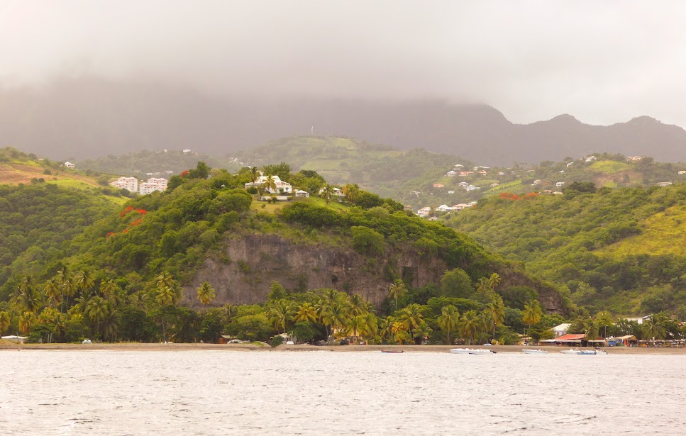
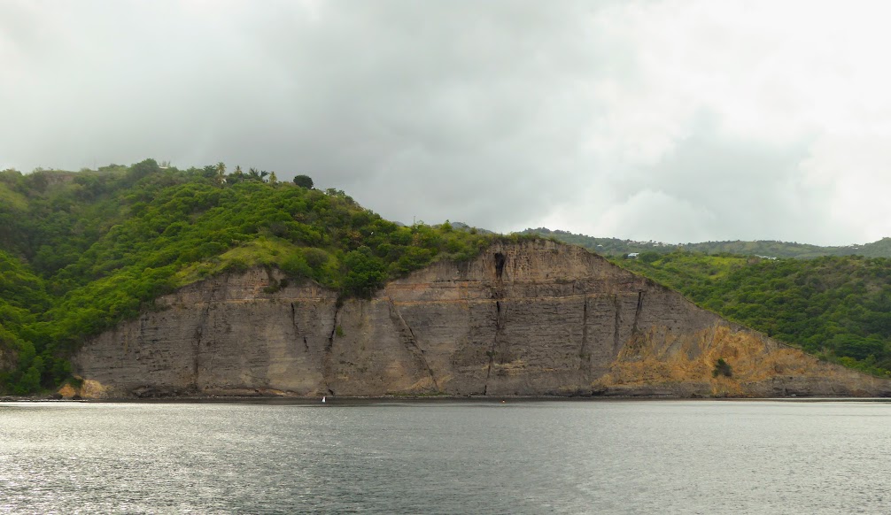
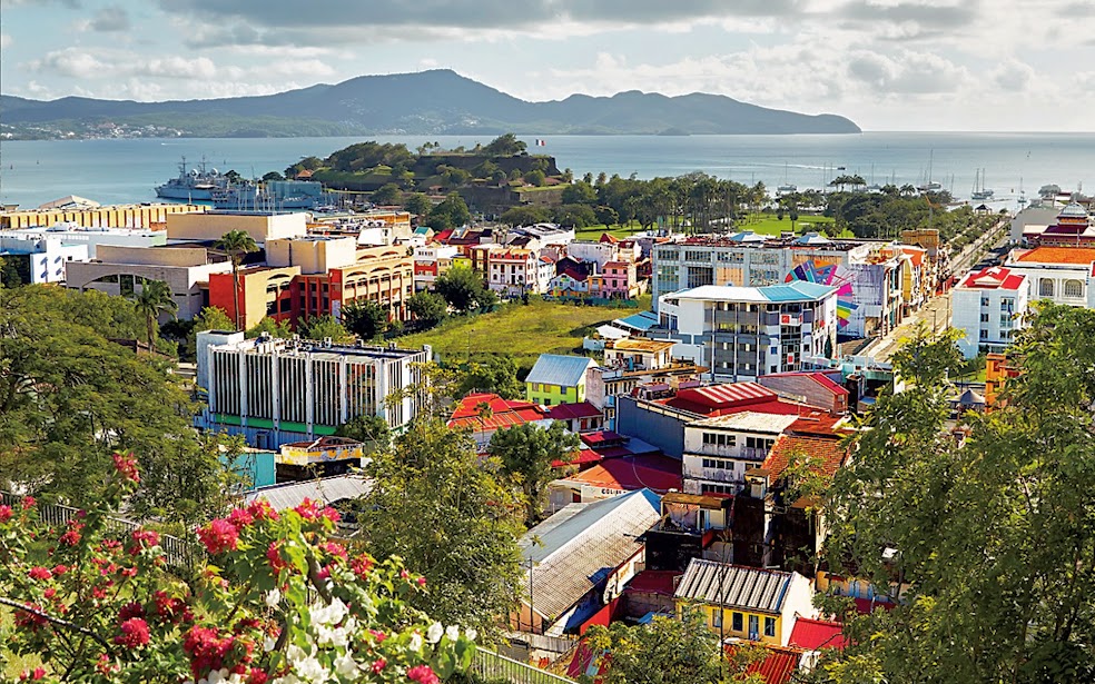
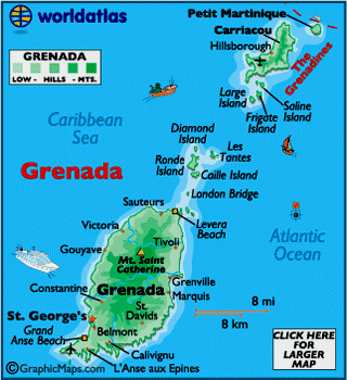
The volcanic, mountainous island of Grenada, with its many rivers and waterfalls, was formed as an underwater volcano approximately 2 million years ago. Six smaller islands at the southern end of the Grenadines island chain belong to the island as well. Here’s a good image of the island, that I found online:
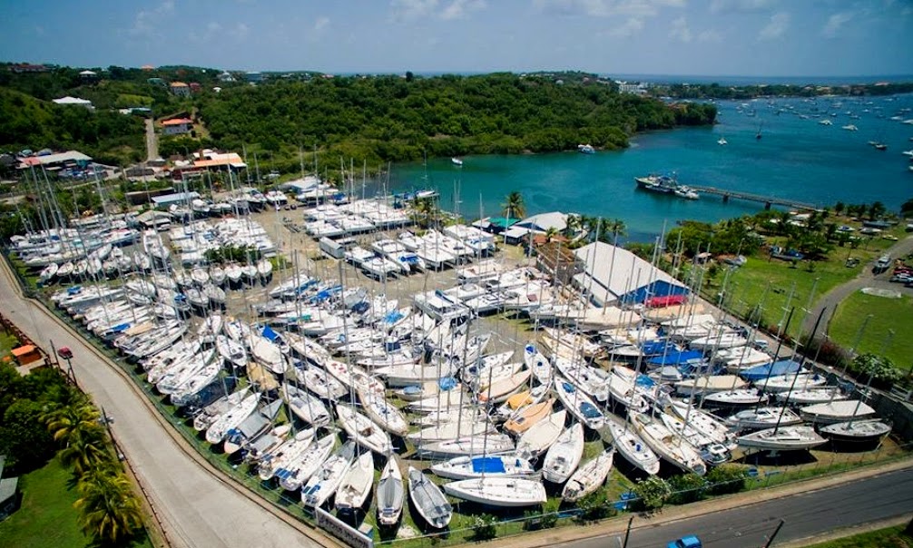
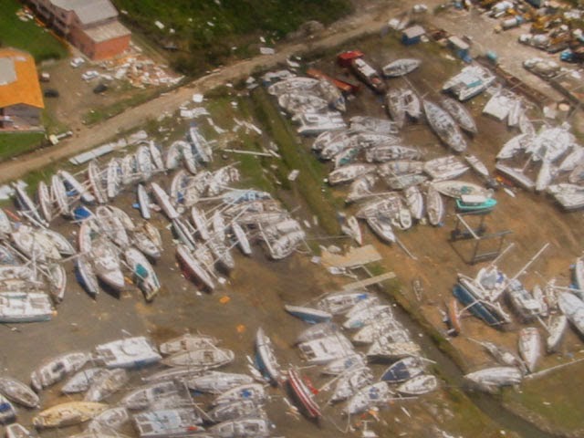
Being on the southern edge of the hurricane belt, Grenada has suffered only three hurricanes in fifty years: Janet in 1958, Ivan in 2004 and Emily in 2005. Here are some images of Spice Island Marine, located near us in Prickly Bay, before and after hurricane Ivan.
Known as the “Spice Island,” Grenada is a leading producer of many spices: cinnamon, clove, ginger, mace, allspice, orange/citrus peels, and especially nutmeg. They are all important exports for the island, and provide twenty percent of the world’s supply. In addition, Grenada is the world’s second largest producer of nutmeg exporters, after Indonesia.
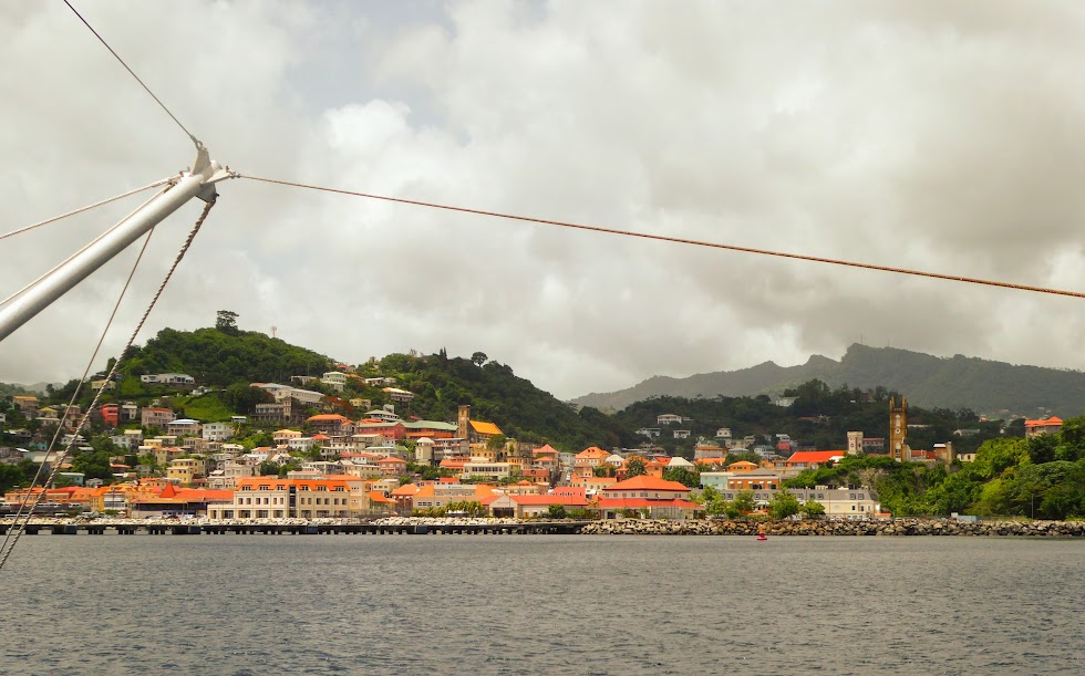
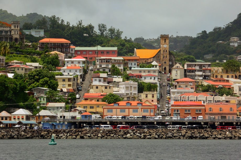
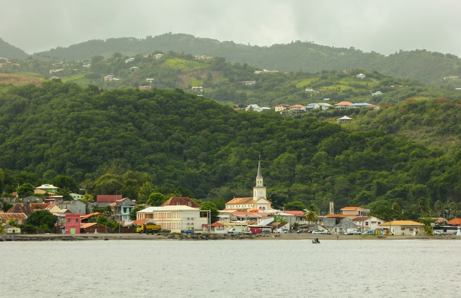
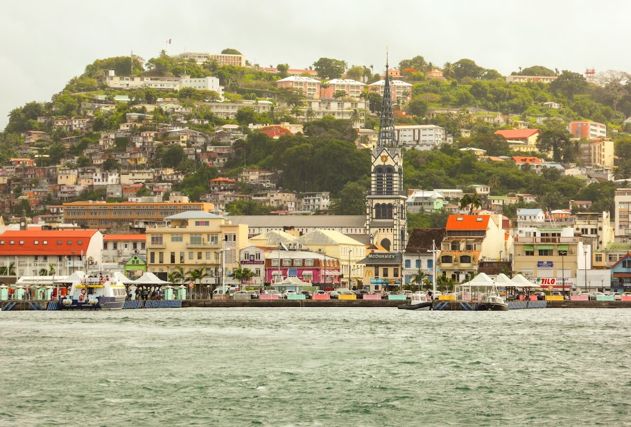
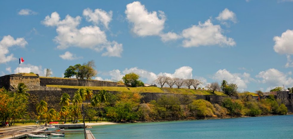
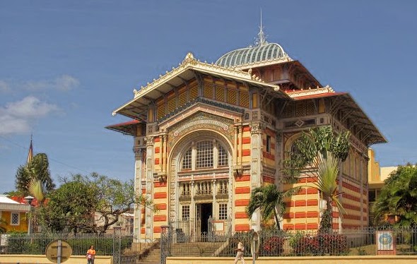
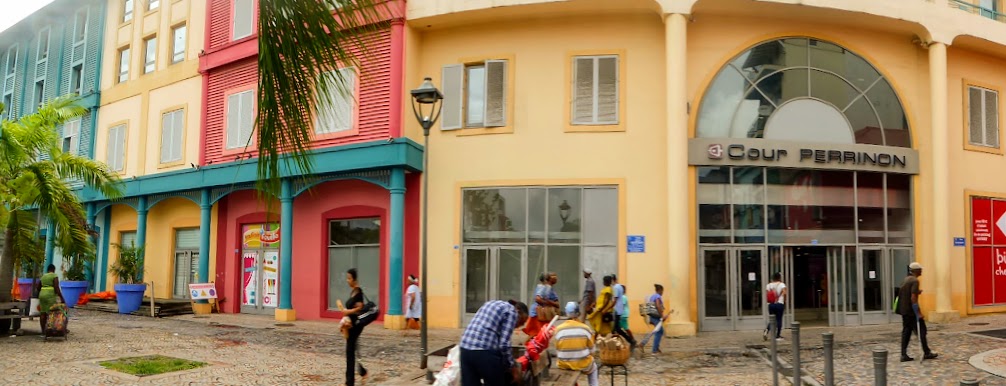
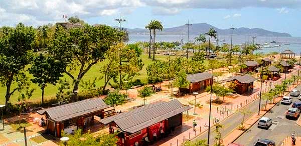
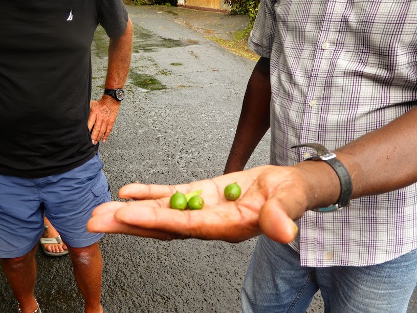
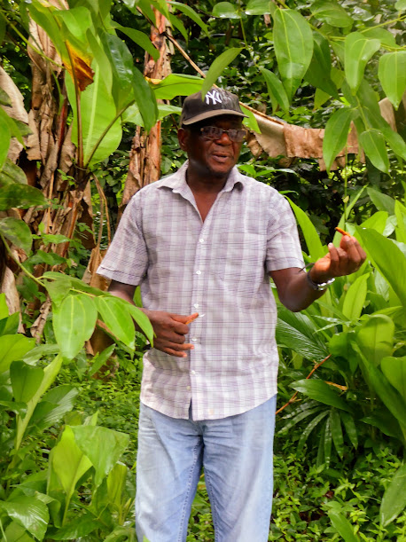
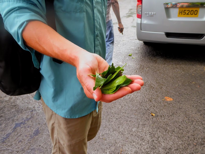
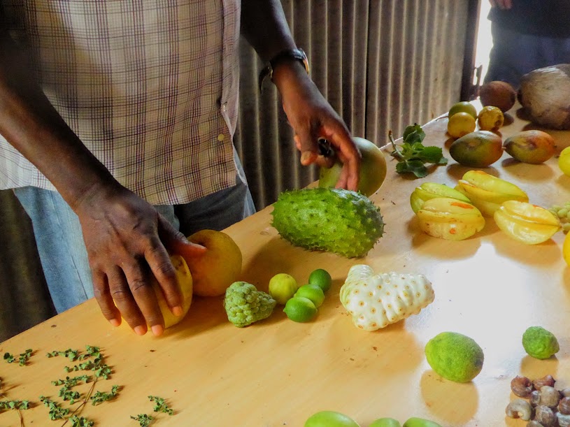
We began our tour with a view down to the harbour at St. Georges, and it wasn’t long before Cutty pulled the van over, to root in the roadside plants and trees. We all waited near the van, as Cutty showed us juvenile coffee beans, cinnamon bark, turmeric, bay leaves and grapefruit.

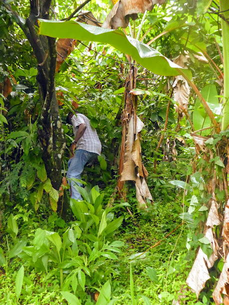
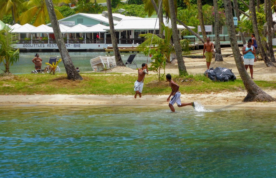
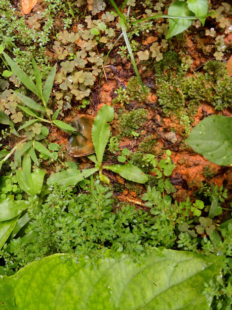
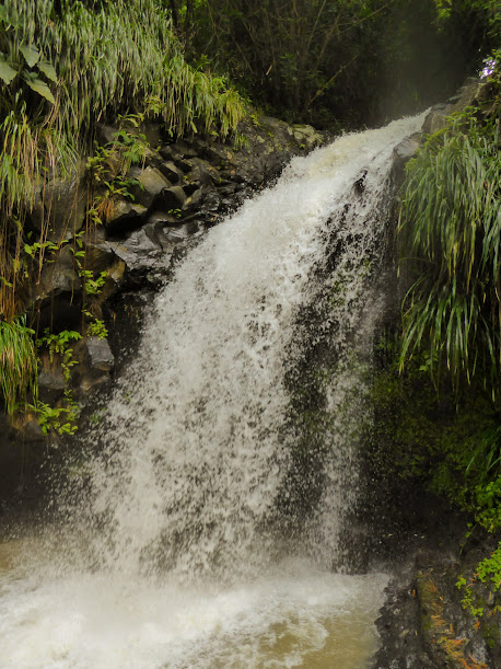
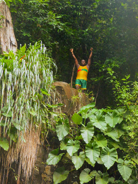
Our first stop was Annandale Falls, one of Grenada’s many waterfalls. Located just steps from the main road, we made our way to the viewing deck, passing wild cilantro along the way (three long leaves, at center of photo). Some of the locals put on quite a show, jumping into the water below the falls, from the rocks above.

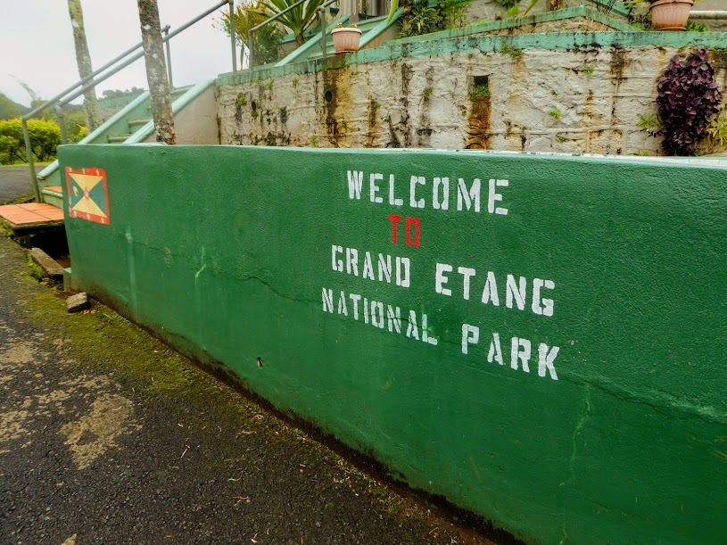
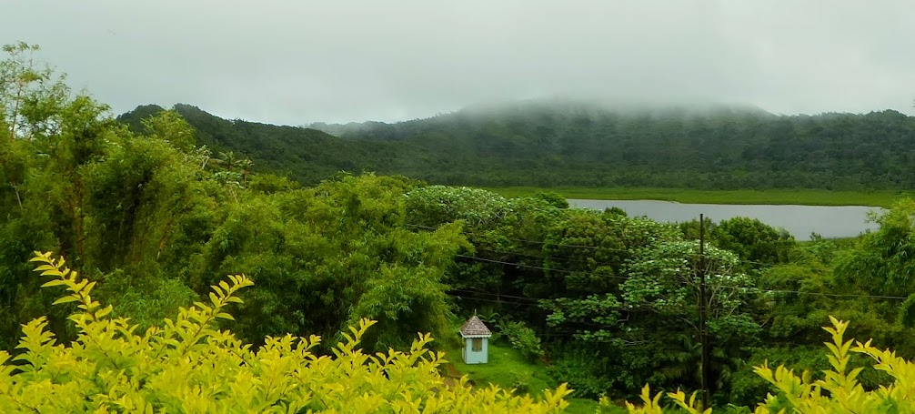
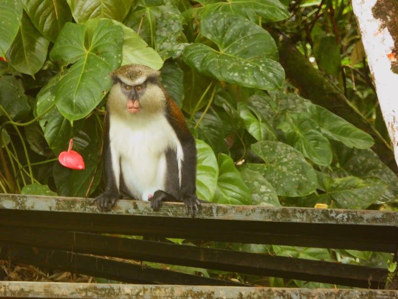
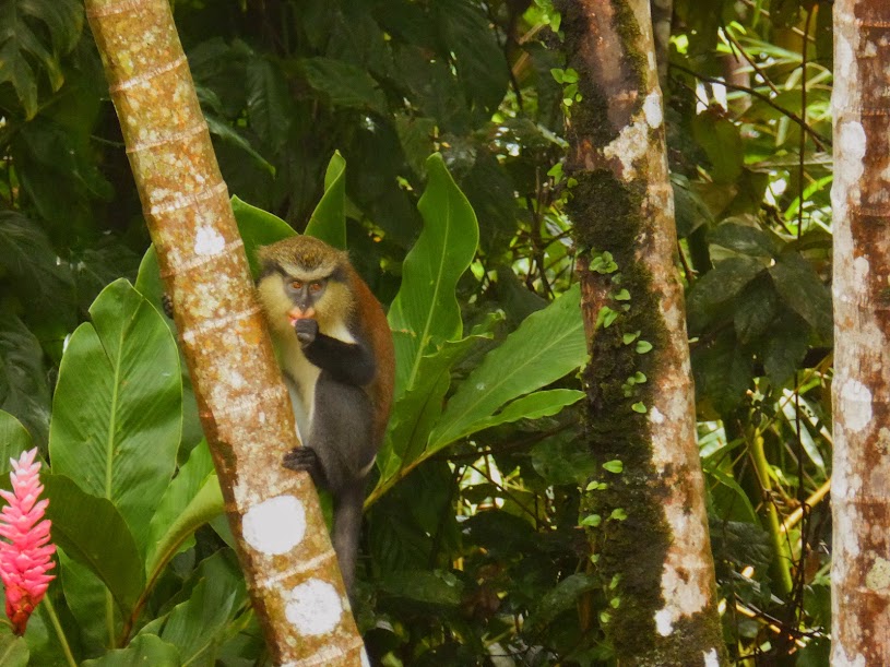
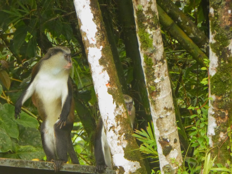
Next, we made our way into the rain forest, and Grand Etang National Park. This area of the island receives a whopping 160 inches of rain a year, in contrast to 45 inches in the lower elevations. In addition to views of a volcanic crater lake (a naturally water-filled crater, of one of Grenada’s extinct volcanoes), we were here in hopes of seeing the Mona monkeys who live in the area.
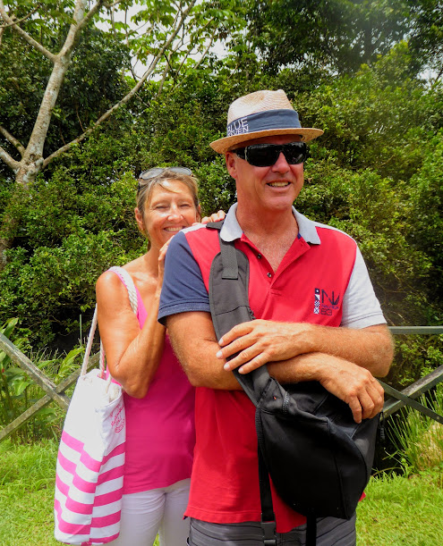
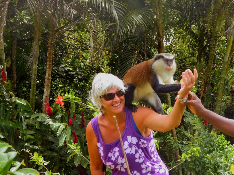
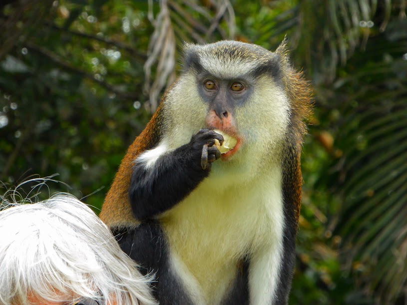
Our Aussie friends, Mark and Deb were also on the tour with us, and we all patiently waited while Cutty called out to the monkeys. It wasn’t long before they came into view, and he soon coaxed them out from the edge of the treeline.

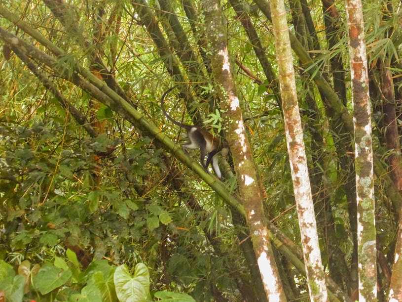
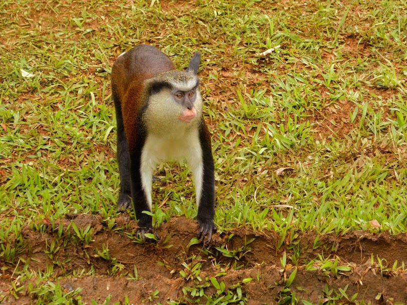
The Mona monkeys are thought to have first come to Grenada in the 18th Century, on ships coming from Ghana, and are now mostly seen in the island’s interior. Like hamsters and chipmunks, the Mona store food in their cheeks. They are vegetarians, eating mainly fruit, but will sometimes opt for a tasty looking insect or a lush leaf.,…which there are no shortage of in Grenada.
Scott, Howard and I had plenty of up-close-and-personal time with the monkeys in Roatan, but “monkey business” never gets old.
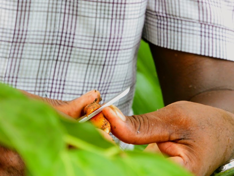
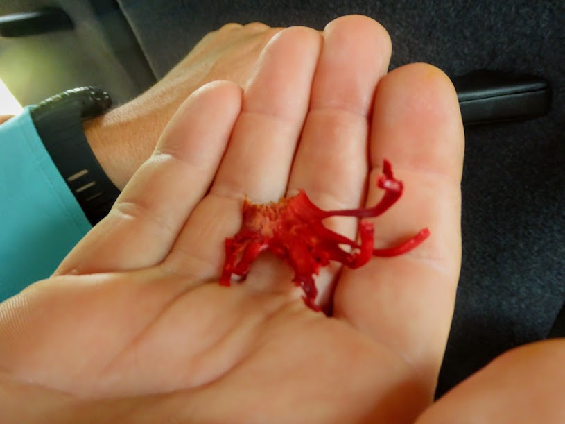
Back on the road, Cutty again pulled over, rummaged in a nearby tree and emerged with nutmeg. Opening the outer shell revealed the nutmeg seed within. It’s red, lacy outer covering is dried to produce the spice mace.

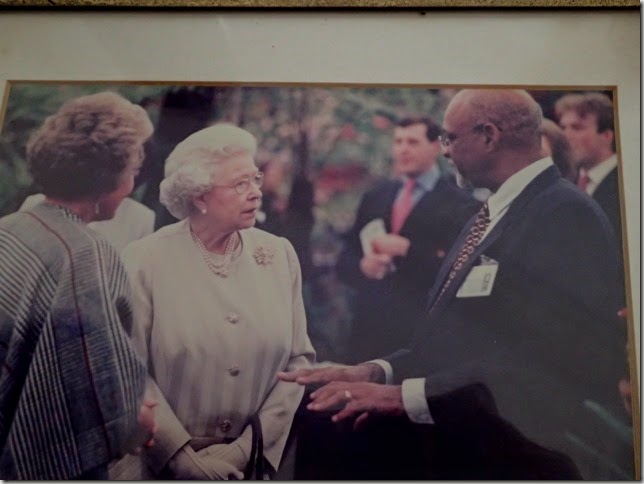
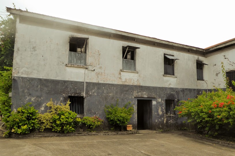
Next, we stopped at the home of Denis Noel, and his home on the 300 acre Balthazar Estate.
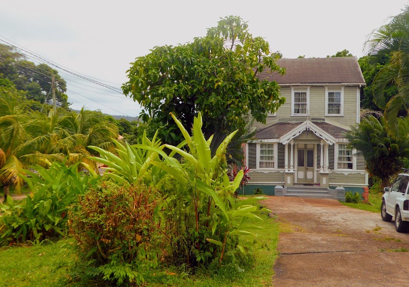

We visited briefly, and discovered that he’d led quite an interesting life. Inside, the walls were lined with photos of Noel with foreign dignitaries from all over the world, during his time as Grenada’s Minister of Foreign Affairs.

After leaving politics, Noel diversified operations of the family estate. He packaged and marketed herbal tea from lemongrass, and was the first Grenadian to cultivate the noni plant and market noni juice. The noni fruit smells terrible, but has countless medicinal benefits.
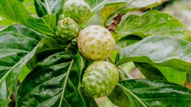
You can read more about this incredibly healthy, but stinky fruit here.
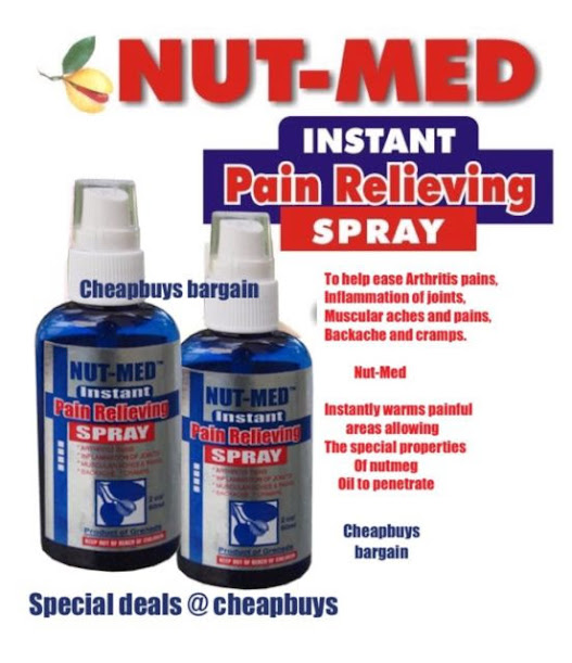
In the year 2000, he released Nut-Med, a pain-relief spray, combining nutmeg with conventional analgesics. It became internationally famous, and was registered with the Food and Drug Administration (FDA) of the United States.
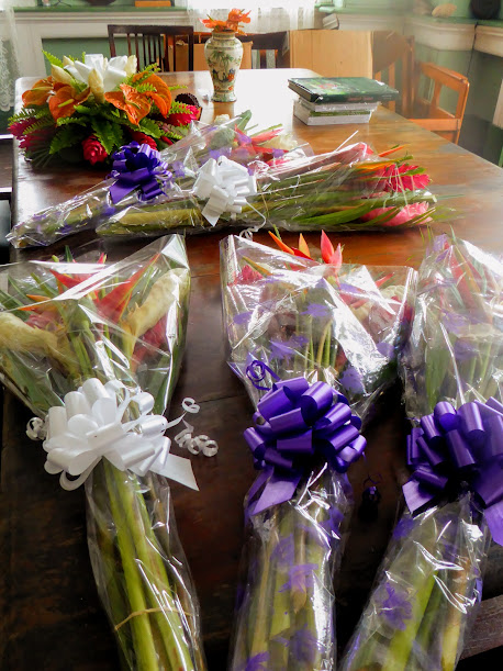
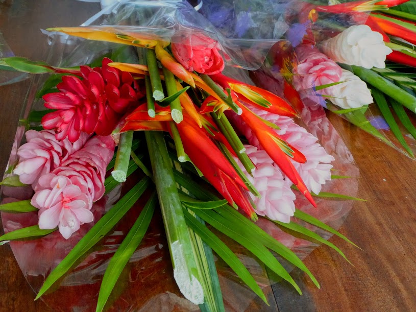
As a young man, Noel was a member of the Grenadian Ministry of Agriculture, and flowers from the Balthazar Estate earned six gold medal awards over a ten year period, at the prestigious Chelsea Flower Show in England. The estate is currently Grenada’s largest producer of cut flowers, and the table inside the house was full of beautiful wrapped bouquets.
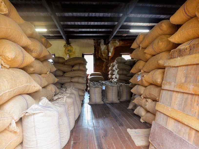
As we walked back to Cutty’s van, there was a whiff of chocolate in the air. I followed my nose to a nearby building, and discovered the Grenada Cocoa Association.
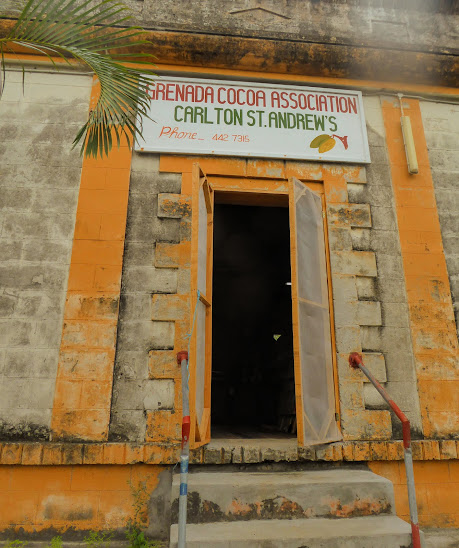
Inside the open doors, bags filled with cocoa beans were piled high. It was a delicious smell, but as I snapped these photos, we were not so politely told to leave. No bother, I’d gotten a snoot-full of chocolate smell, and was happy to evacuate the building.
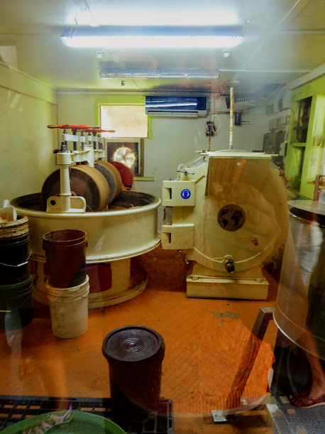
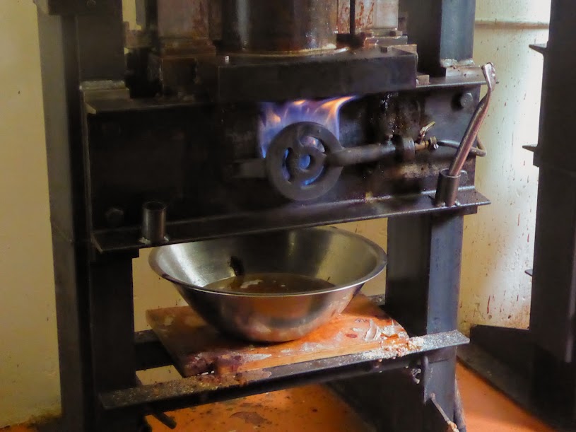
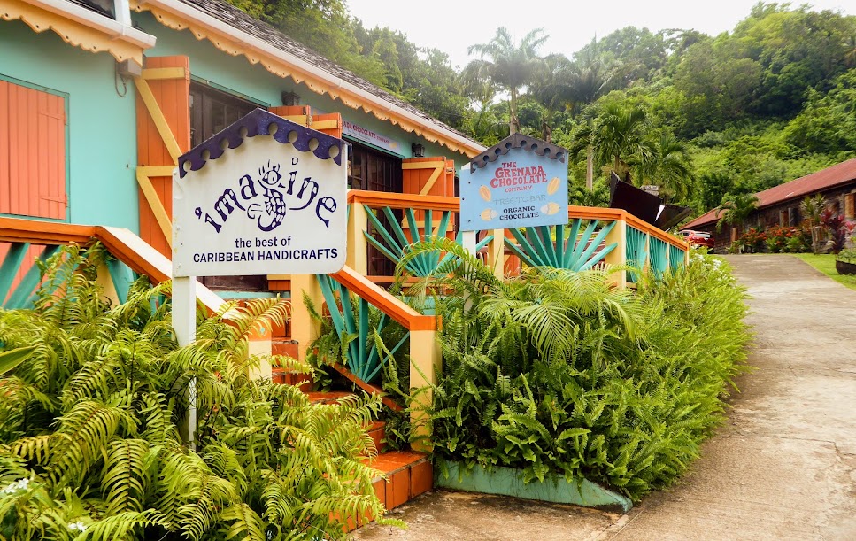
Keeping with the chocolate theme, our next stop was the Grenada Chocolate Factory.

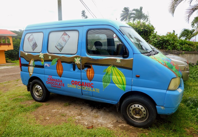
The company was founded in 1999, by two men who had the idea of creating an Organic Cocoa Farmers’ and Chocolate-Makers’ Cooperative. The chocolate is produced in a tiny Caribbean house, and is made from organic beans grown by local island farmers who are all shareholders in the company, and who earn well over twice the going rate for their beans. The local, fresh beans are used, rather than those that have been shipped half way around the world, and might be months or even years old.
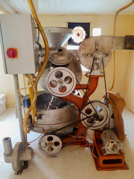
Because small batch chocolate-making is extremely rare, the company had to create many of their own processing methods, designing special small scale machines and refurbishing antique equipment to meet the requirements of their unique situation. Most of the machines were designed in the early 1900’s, in a time when quality had precedence over quantity in the world of chocolate-making. Many of the machines were also reconfigured to be powered by solar energy.
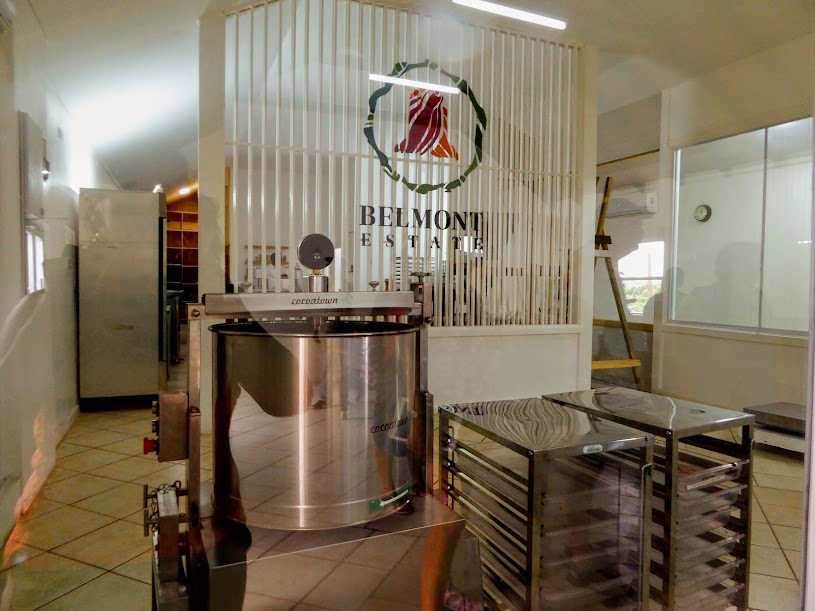
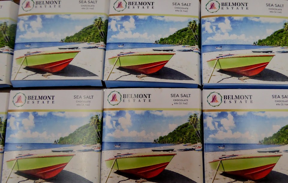
Having stocked up on chocolate bars, we continued on to Belmont Estate. The first Grenadians of East Indian descent to own an estate on the island purchased the property in 1944 (Only Europeans owned agricultural estates at that time), and it is still in the family as a fully operational, agricultural property.

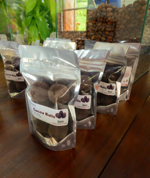
The property houses a restaurant, several gift shops, a small museum and a farm with many different animals and plants. In addition, Belmont has their own chocolate production on site.
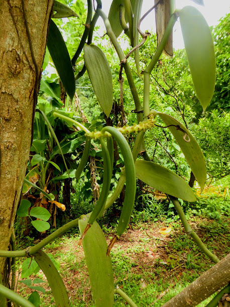
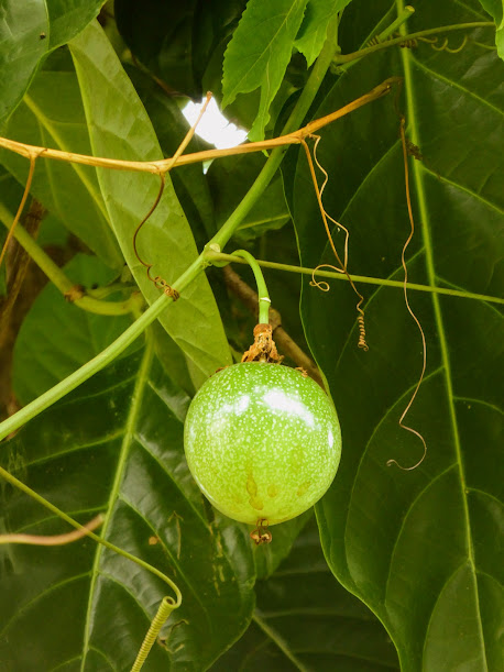
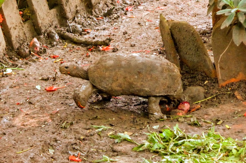
We wandered the grounds, passing vanilla beans, noni fruit, guava, passion fruit (which we learned is an invasive vine), and several mud-caked turtles, some who seemed to be quite nimble walkers.

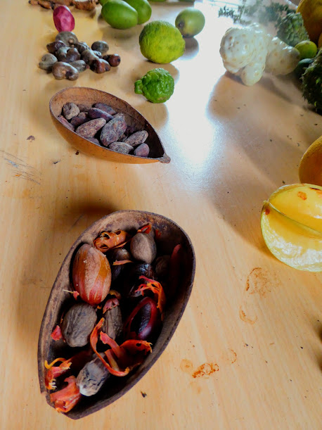
On our way out we stopped into the museum, where Cutty talked about the island’s various fruits, nuts and spices on display.

Traveling along Grenada’s lush and scenic roads, Cutty pointed out large barrels outside some of the island’s homes. He told us that they are used to ship items to friends and family in Grenada, from other countries. From November 1st, until December 31st, the barrels ship duty-free from the U.S. and Canada, as long as they contain clothes, food and toys…ho, ho, ho!


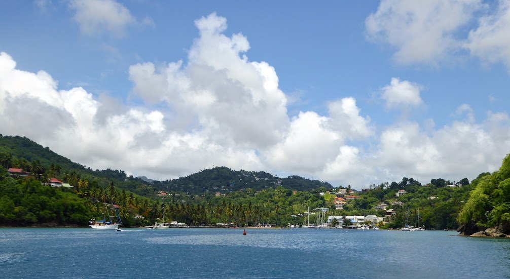
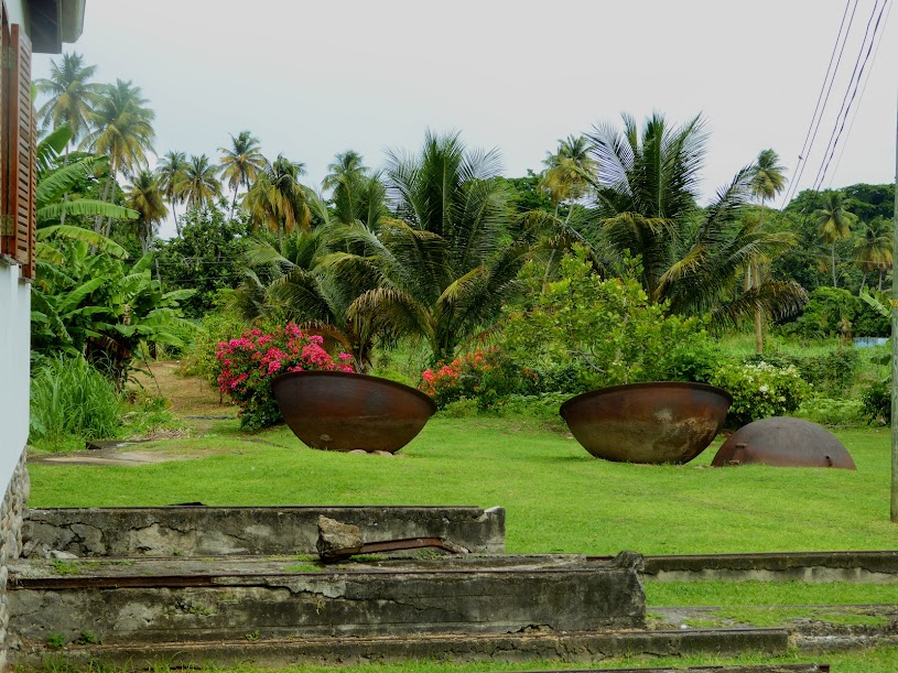
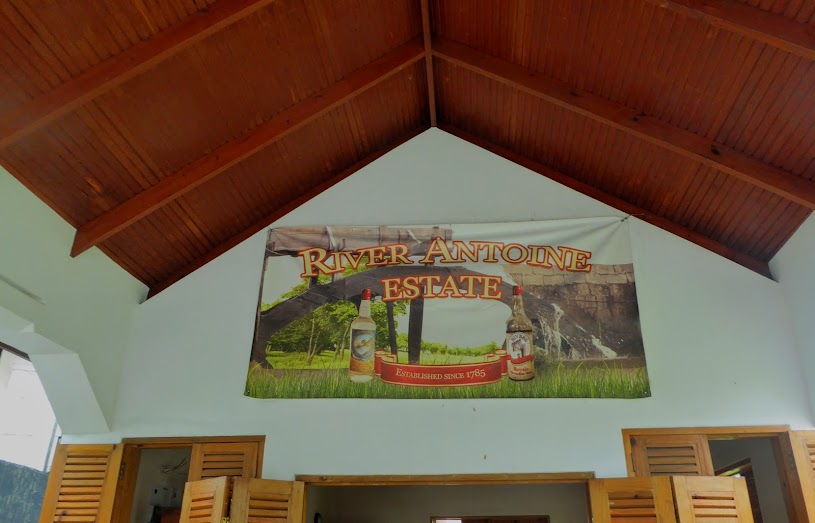
Our lunch spot was a scenic restaurant at the River Antoine Estate, producers of Rivers Rum. We enjoyed a buffet of local foods, and views of the estate’s lush, tropical grounds, on the edge of the Caribbean Sea.


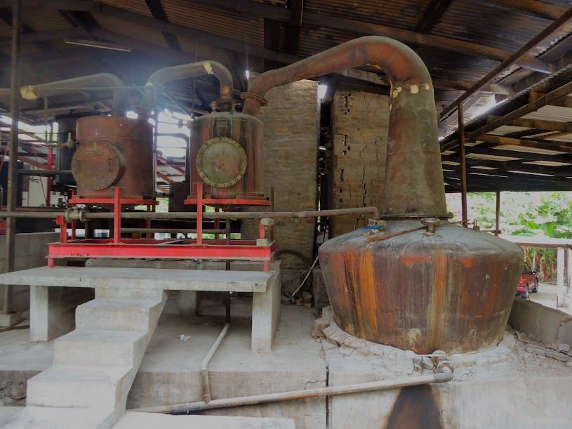
With full bellies and renewed energy, it was time for rum! “Rivers Rum,” as it’s referred to on the island, is still made almost exactly as it was back in the 1700’s, in the same place and on much of the same equipment.
Central to the entire process of manufacturing at Rivers Rum is a water wheel, dating back to the 1800s. Fed by a nearby river, the wheel has been crushing cane for hundred’s of years, making River Antoine the oldest functioning water-driven distillery in the Caribbean. Being mechanically inclined, both Mark and Scott were fascinated by the huge, antique wheel and it’s workings.
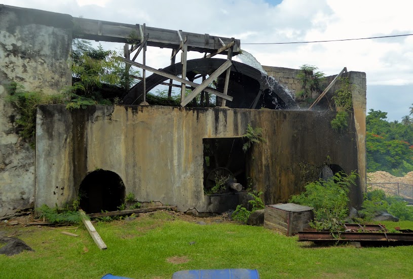

No machines or pumps are used here. Piles of sugar cane are hand-fed up a wooden chute, and crushed by the water wheel-powered grinder.
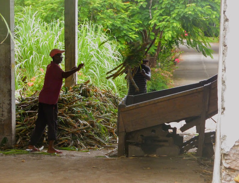
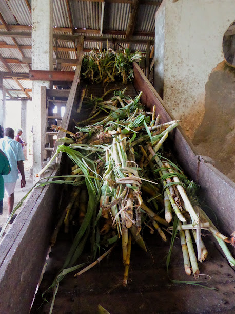


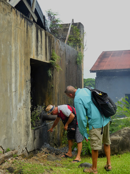
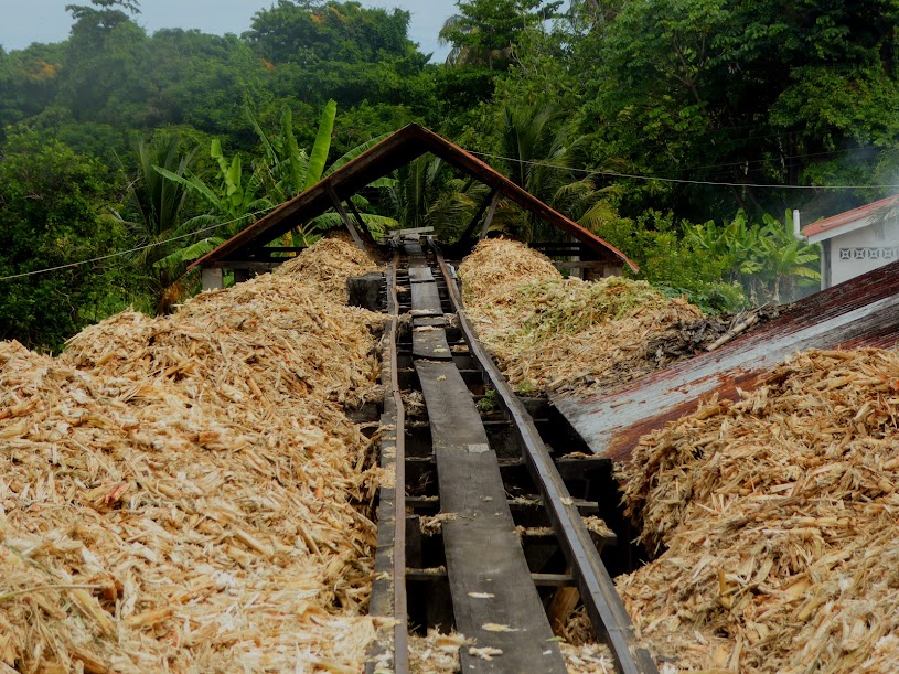
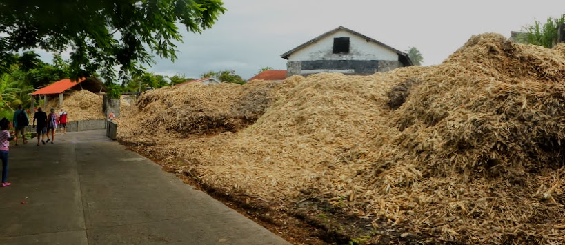
The fresh-squeezed juice flows down a wooden sliding gate to the boiling house, where it is filtered (by hand) to remove bits of cane, stirred (by hand) and brought to a boil in cast-iron pots over a fire that is stoked by dried cane stalks and wood, which explains the massive piles of stalks around the crushing area.
The juice is then ladled from pot to pot (by hand), which thickens the sweet liquid. Tempering lime is added to help separate unwanted impurities and aid fermentation.
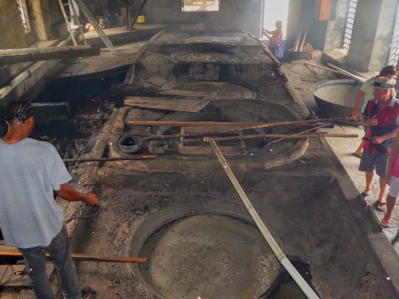
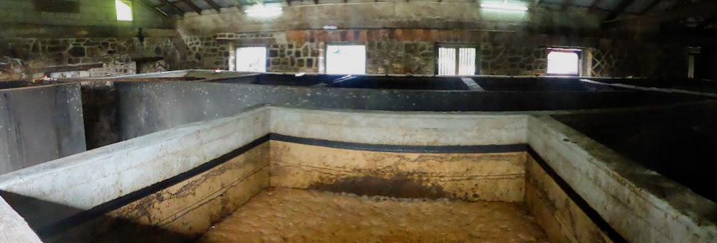
After boiling for a few hours, the thickened liquid is ladled (by hand) into another gate/chute that directs it to cement fermentation tanks. Without the addition of yeast, the boiled cane juice takes about eight days to ferment. Once all of the sugar has been converted to alcohol, it is drained from the concrete tanks into a pot still below. In the final step, it’s pumped (by hand) into bottles held near a pipe.
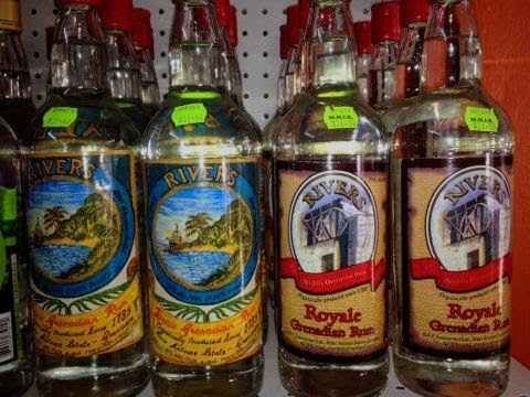
Daily production only yields about 35 gallons, which is far less than the demand. The resulting raw rum to be bottled as Rivers Royale is 75% alcohol by volume, and this overproof rum is the strongest we’ve found in our Caribbean travels (on the right, below). It’s alcohol content is too high for visitors to carry home by plane, as it’s considered a combustible liquid! As a result, Rivers began producing a “tourist-friendly” rum, coming in under the wire, at 69% (on the left).
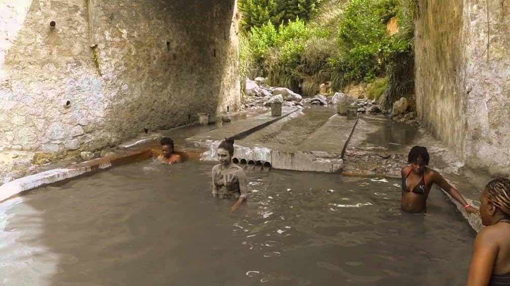
The tour ended at an open pavilion, offering samples of the clear rum that was most likely distilled just the day before, if not that morning. We were welcome to “drink all you like,” and soon discovered why. The clear “fire-water” offered to us in tiny cups smelled like lighter fluid, and didn’t get past my lips.
Scott, on the other hand, finished his fire sample handily, explaining to the group how to properly taste the stuff: first take a breath, drink the rum and then exhale (apparently, drinking moonshine has its advantages). He then happily went back for seconds…I’m fairly certain he was the only one.
We were nearing the end of our tour, and our heads were spinning with all that we’d seen and heard. In addition to the many fruits, spices and trees mentioned, Cutty also pointed out clove, almonds, tamarind, avocados, lemongrass, cherries, cocoa pods, jasmine, ylang-ylang and several types of apples and mangoes (the island has 200 species of mango).
Here are more interesting tidbits that we learned from Cutty:
The Caribbean Argo Company imports wheat from Canada and the U.S. They produce flour and ship it throughout Caribbean.
During the U.S. invasion of Grenada, in 1983, the U.S. accidentally bombed a mental hospital…oops! President Regan approved funds to build a new one.
Michael Jackson’s infamous doctor, Conrad Murry, was born on Grenada.
Children on Grenada are required to go to school from 6-14 years of age.
Many countries have funded projects in Grenada:
Canada provided money for a medical center; China built many homes, and also paid for a new cricket stadium. At the stadium’s opening, the anthem of Taiwan was accidentally played, and the band leader was fired; Venezuela gave Grenada $16.5 million in grant funding for projects, such as prefab housing, and the redevelopment of the St. George’s Market; Japan has given the island money, in exchange for voting in favor of whaling at United Nations meetings.
The soursup fruit contains calcium, iron, magnesium, potassium and phosphorus, and is also a source of vitamins C and A.

Soursup grows naturally in Grenada, and the U.S. is paying the island to grow it for use in cancer research.
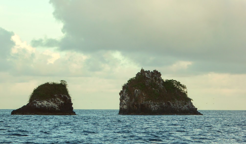
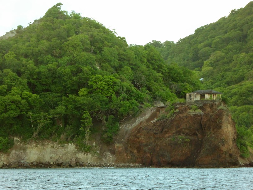
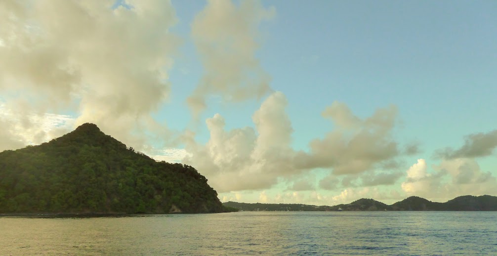
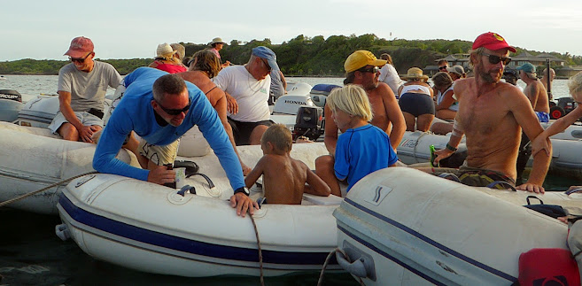
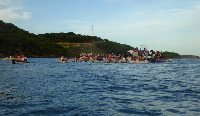
We came away from our day-long tour with a true appreciation for Grenada’s beauty, and all that the island provides her people. Here are more photos of our island tour with Cutty.
“Shells Sink, Dreams Float. Life’s Good On Our Boat!”
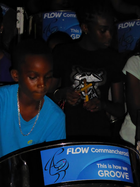


 DOUBLE SECONDS Contra Melody, Harmony Alto
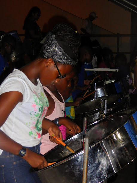


![[Image of probabilities of 34-kt winds]](https://i0.wp.com/www.nhc.noaa.gov/storm_graphics/AT05/refresh/AL052017_wind_probs_34_F120%2Bpng/115433.png?w=676)