Our next stop on the way to Grenada, was the beautiful island of St. Lucia. The island was named by the French, after Saint Lucy of Syracuse, and it is the only country in the world to be named after a woman. The French were the island’s first European settlers, after signing a treaty with the native Carib Indians in 1660. England took control of the island from 1663 to 1667, and in the years following, it was at war with France 14 times. Rule of the island changed frequently (it was ruled seven times each by the French and British), which seems to be a pattern on many of the Caribbean islands.
In February of 1979, Saint Lucia became an independent state, and a member of the Commonwealth of Nations. Formerly the British Commonwealth, the Commonwealth of Nations is associated with the United Kingdom, and made up of 52 member states, which are mostly former territories of the British Empire.
Scott and I vacationed on the island 14 years ago, and were looking forward to a return trip. Unfortunately, the island hasn’t been the most safe location for cruisers in recent years.
We learned early on in our cruising life, that visiting an island by plane, for vacation, is much different than coming by private boat. Cruisers interact much more with locals; shopping for food, eating at local restaurants and exploring an island’s hills, mountains and beaches.
In contrast, most vacationers don’t leave their resort, and for the most part don’t need to (food, beaches, water sports and entertainment are usually all onsite). When they do, it’s most likely with an organized tour of some kind. With cruisers being anchored relatively close to shore, they are more at risk of being boarded by desperate islanders, and unfortunately, boardings on St. Lucia have becoming more violent.
On many islands we visited, cruisers only experience the rare case of a dinghy being stolen, or a snorkel and mask gone missing’ in most cases, these things were left outside, or left unlocked. St. Lucia, however, has seen more and more cases of violent assault on cruisers, both at anchor and ashore. These incidents did not sway us from visiting the island. Instead, we adjusted our anchoring plan for safer locations, and were extra cautious of our surroundings.
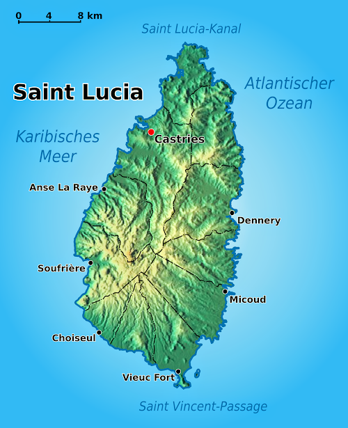
This volcanic Caribbean island is more mountainous than most, with its highest point being Mount Gimie at 3,120 feet above sea level. Here’s a topographical map of St. Lucia that I found online:
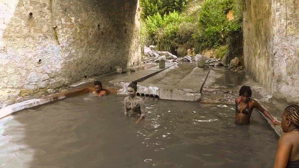
St. Lucia’s Soufriere Volcano, locally known as the Sulphur Springs, is considered the only “drive-in” volcano in the world. It’s a major tourist attraction on the island, with the road running right up to, and through, the crater of the volcano. Steam and sulfur waft out from the crater, providing a lovely, thick smell of rotten eggs. Boiling mud and water bubble just a few feet from the overlook. (We did not visit the volcano during this visit to St. Lucia, so I borrowed some photos online.)
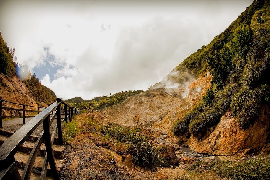
The sulphur springs emit a mixture of iron, calcium oxide, sulphur, copper oxide, carbon and magnesium, creating the pungent smell and staining the surrounding rocks a green color.
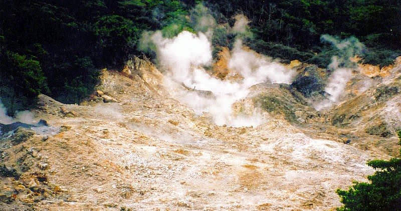
The volcano is considered to be dormant, with its last eruption occurring in the late 18th century, unlike the highly active Soufriere Hills Volcano, located on the island of Monsterrat, who’s pyroclastic eruption in 1997 destroyed much of the island.
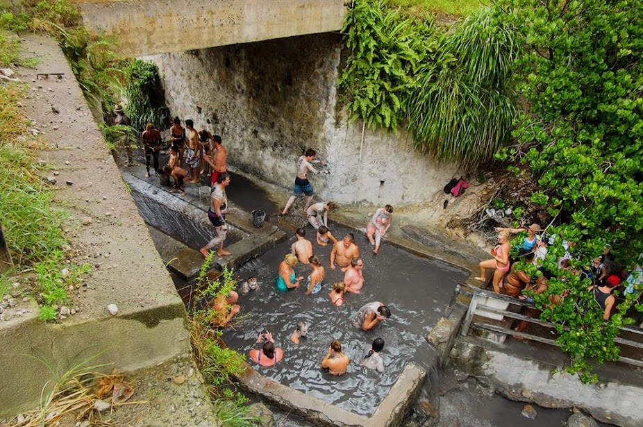
There are well-established hot springs and mud baths here as well. These bathing pools, hotter than the average bath, contain volcanic minerals which are believed to have therapeutic qualities for the skin, and are a big tourist attraction.
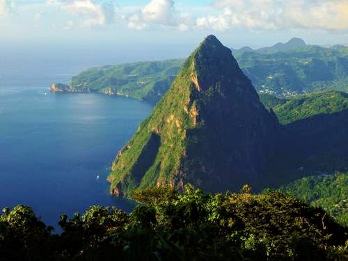
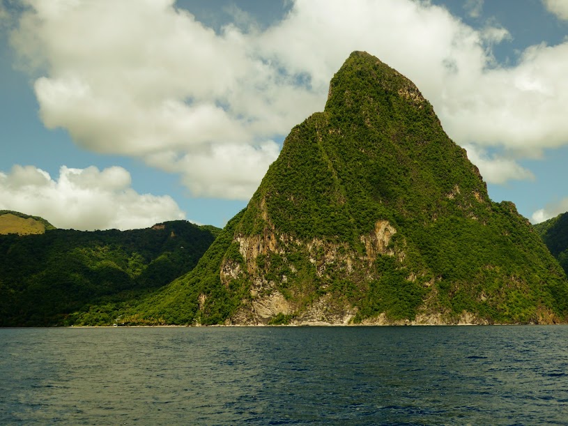
While stinky, mineral-loaded mud baths and hot springs are all well and good, the show stopper on St. Lucia is definitely it’s Piton Mountains. Here are some aerial views of the island’s beautiful signature attraction.
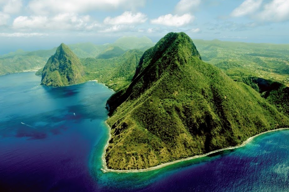
Said to be the most photographed site in the Caribbean, and most famous mountain pair on earth, the Pitons were created less than a million years ago by volcanic activity. Located near the town of Soufriere, in southwestern St. Lucia, the Arawak Indians considered the mountains to have mystical powers, and early European explorers noted their unique beauty. In 2004 the Pitons, along with the Soufriere Volcano, were awarded World Heritage Site status.
These volcanic plugs, land formations made out of volcanic material, are the most iconic sight on the island. They are the symbol St. Lucia, and also appear on the island’s flag.

Gros Piton, and its smaller sibling Petit Piton, are easy to spot from many points along the island’s southwest coast.
Although both peaks are available for climbing, locals caution against hiking Petit Piton unless you are an experienced climber, as the mountain is incredibly steep. Gros Piton is the higher of the two mountains. It’s easier to climb than the Petit Piton, but still a strenuous go.
Gros Piton rises to a height of 2619 feet above sea level, and is the second highest peak on St. Lucia, after Mount Gimie (3120 feet). Petit Piton rises to a height of 2461 feet, is steeper than Gros Piton and is therefore much more challenging to climb. Here are views I found online, of views from the top of Gros Piton:

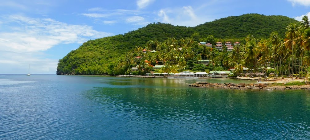
We made our way from Martinique to Rodney Bay, on St. Lucia’s northwest side. The large bay provided an easy ride to customs and immigration, as well as several grocery stores. Customs wanted Howard to have a vet exam for clearance, but Scott managed to convince them that our cat would not be swimming ashore, and soon we were all three officially checked in.
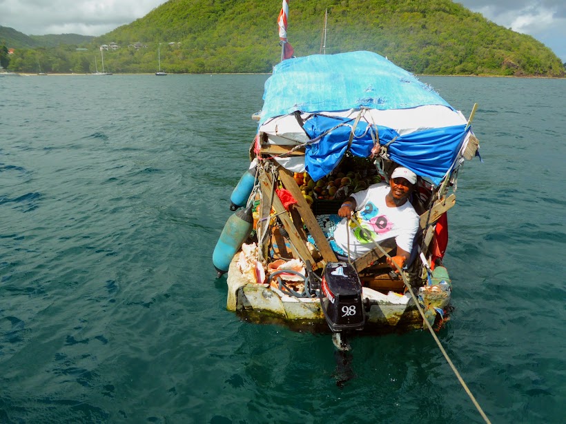
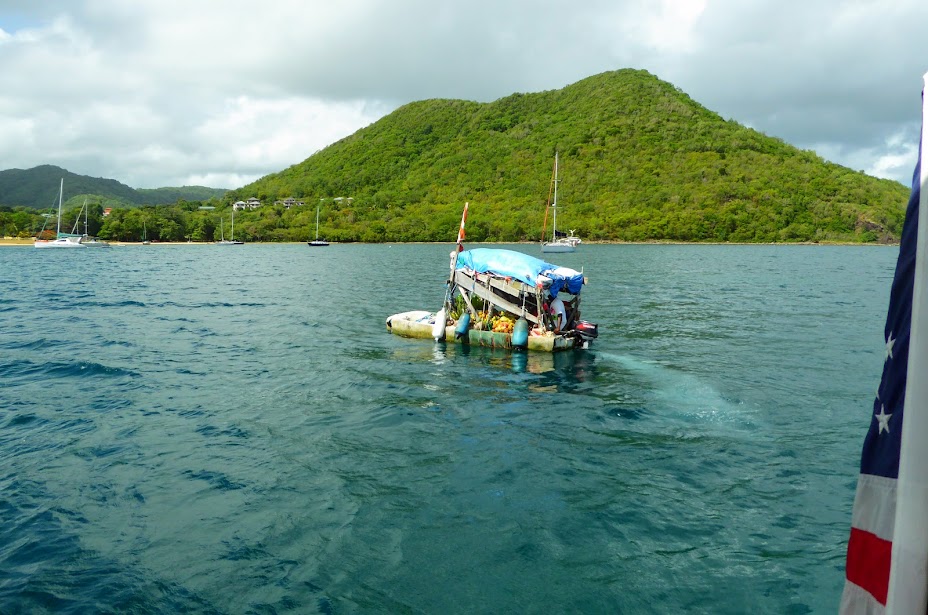
Bright and early the next morning, we spotted Gregory , a local man who’s small boat was loaded down with fruits, veggies and plants for sale. Several cruisers were put off by him, but after having much experience with veggie boats in the San Blas, we were definitely game for some easy, door-to-door local shopping. We chatted with Gregory, bought some sugar-sweet, local mangoes and then he was on his way.
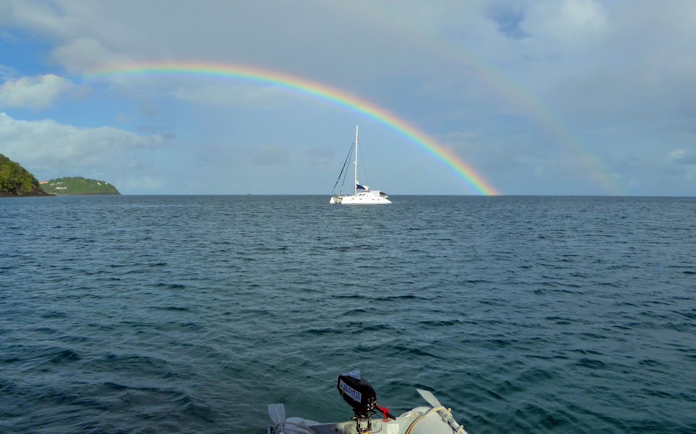
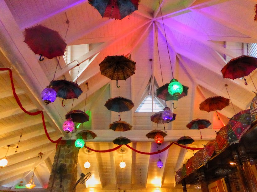
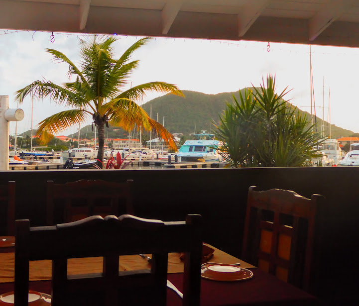
During our shopping run, we spotted an Indian restaurant on the marina grounds, so we decided to treat ourselves to dinner ashore, but not before enjoying a vivid rainbow on the horizon behind us.
We enjoyed a tasty dinner at the colorful restaurant, with views of the marina, and then headed back to Sea Life, taking care to be back on board by dark.
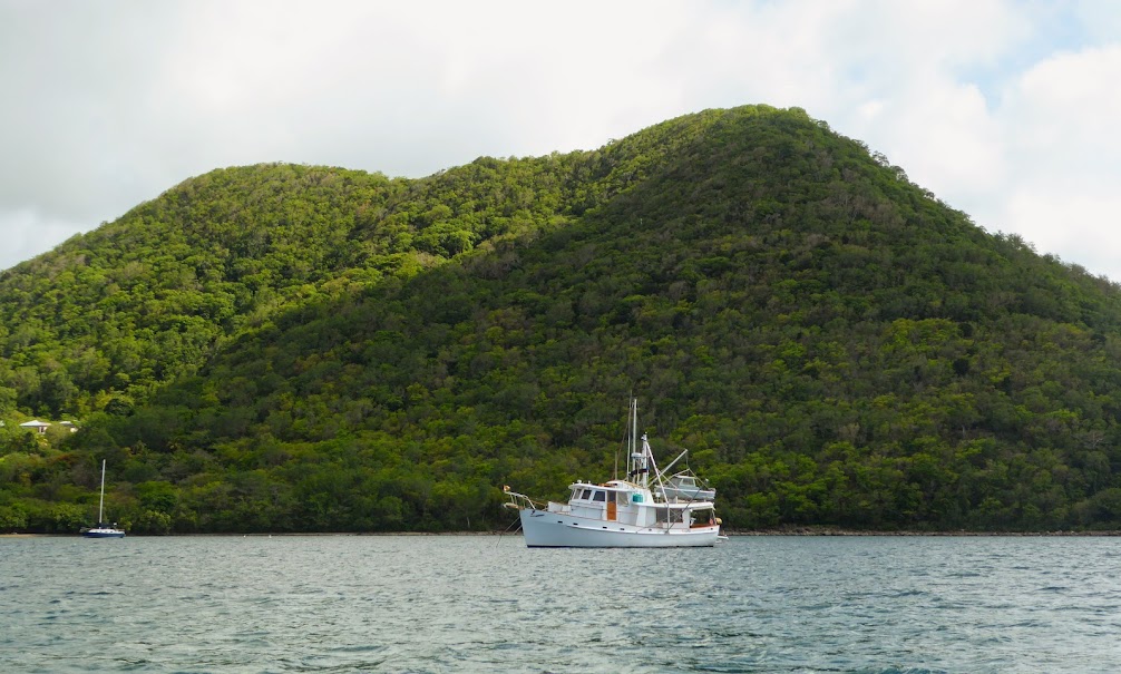
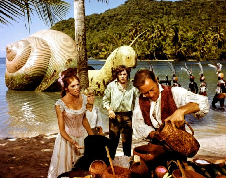
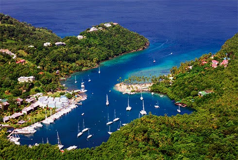
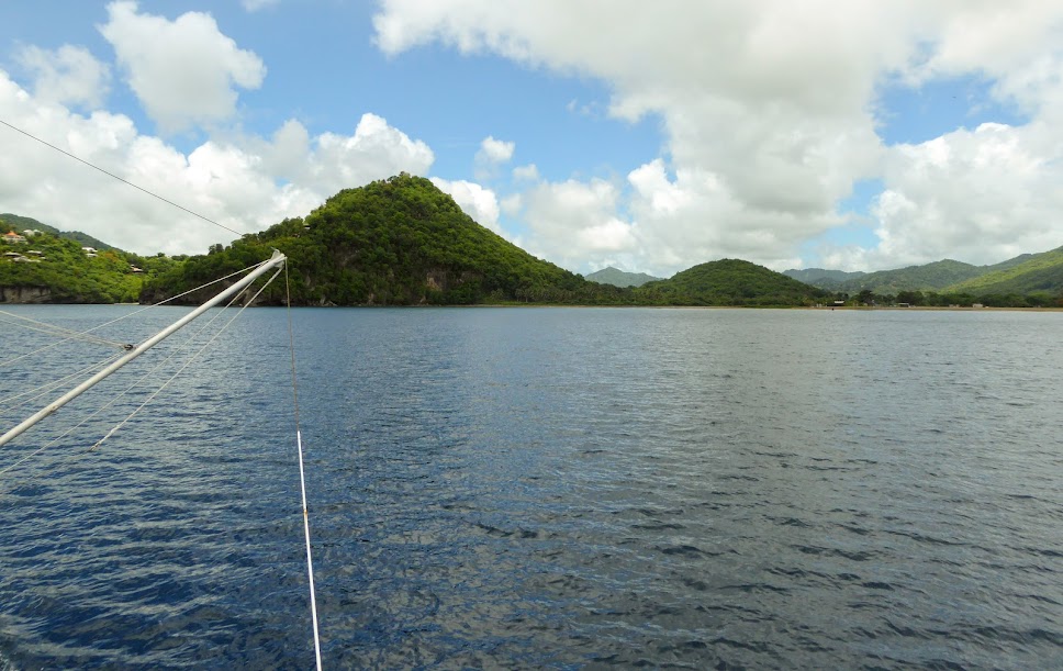
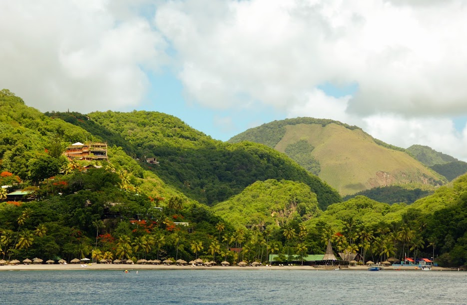
Not having long to linger on the island, we raised anchor the next morning, and headed farther down the coast to Marigot Bay. This scenic bay is a historical landmark, and was the site of many battles between the French and British navies. The bay was also used as the setting for scenes from the 1967 film Dr. Dolittle; the original musical film, not the Eddie Murphy remake.

Coming in, a line of palms hide an open area at the back of the bay, but these aerial photos give a better overall view.
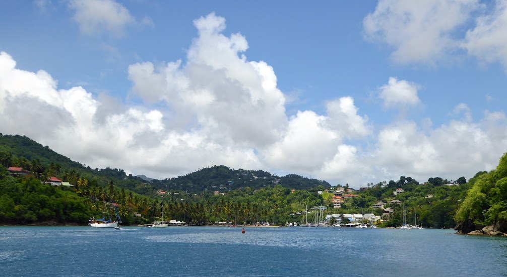

Scott and I visited the bay on a day trip when we were on the island 14 years ago, and were eager to see it again. Entering the bay, we were glad to see that the Marigot Bay Beach Resort was still in business.
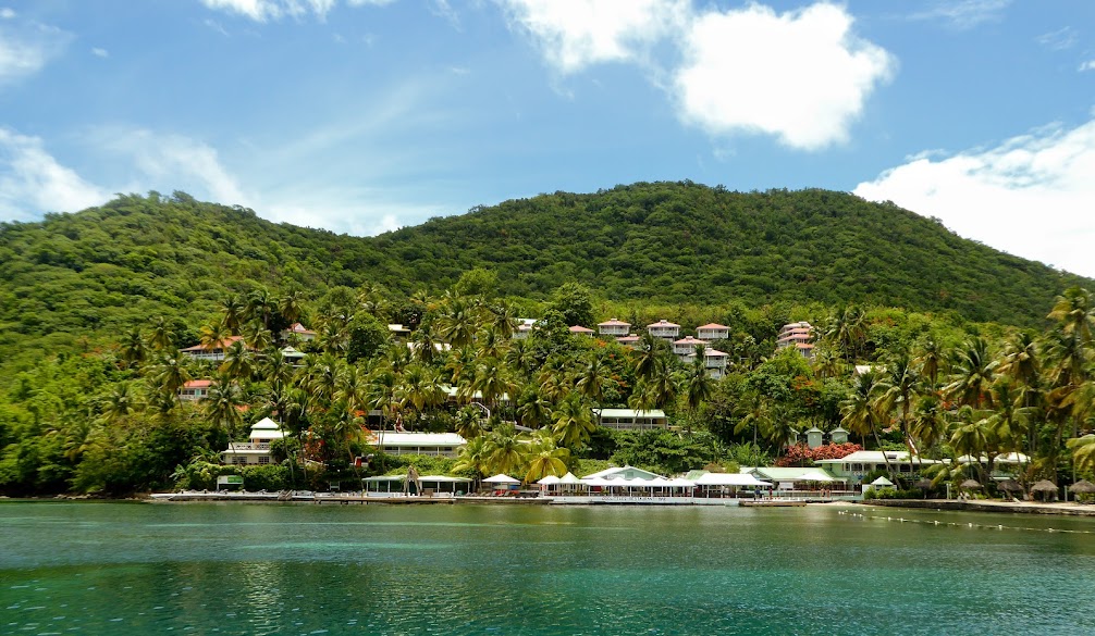
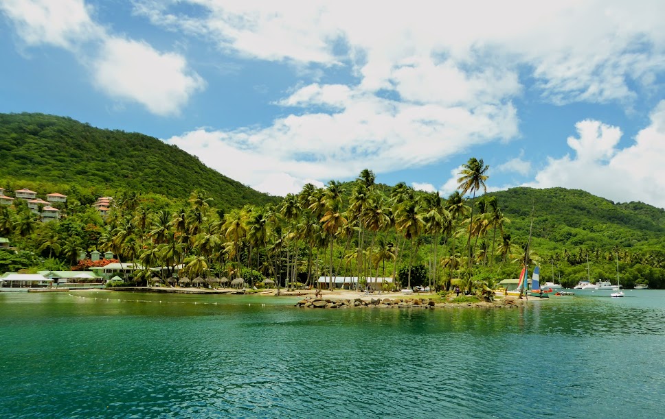
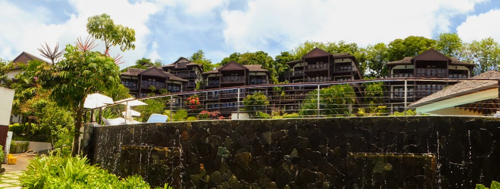
Not surprisingly, there had been much development in the past 14 years, with the addition of an upscale resort and marina at the back of the bay. We made our way in, and picked up a mooring ball just off of the resort.

The development has not detered the locals, who netted bait fish near us in the mooring field.

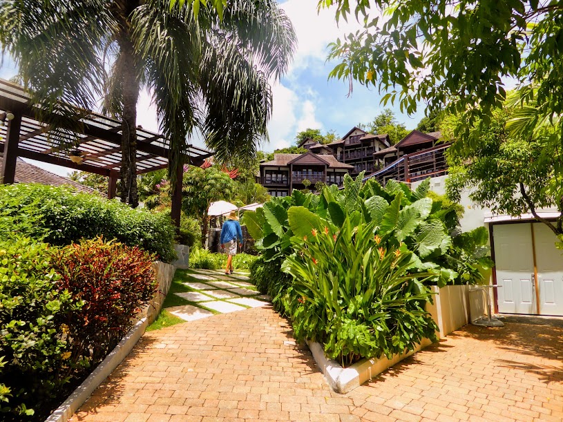
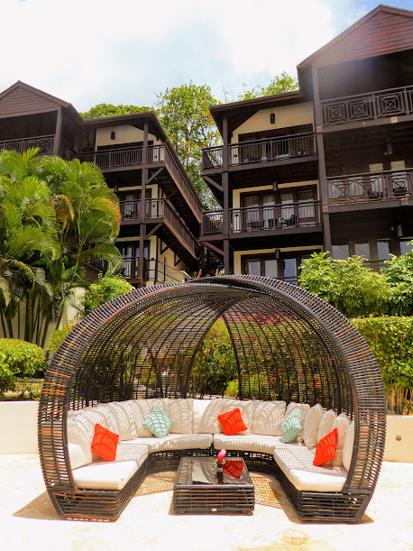
For $20.00 a night, we had use of the resort grounds, pools and restaurants…not a bad deal! The next day we went ashore to wander around, and then settled in for an afternoon poolside.

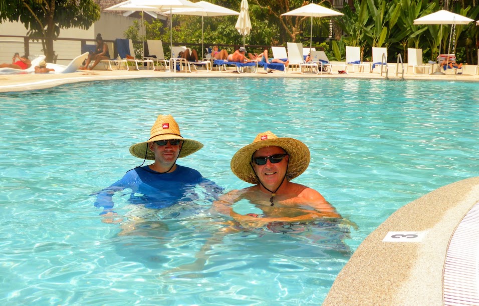
We’d made new friends in Fort de France, who had traveled to Marigot as well. Mark and Deb were also heading for Grenada, on their catamaran, Kefi. We enjoyed our day by the pool with them, in our posh surroundings.

Mark and Scott have similar taste in hats.
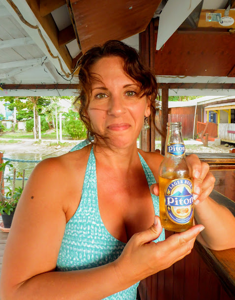
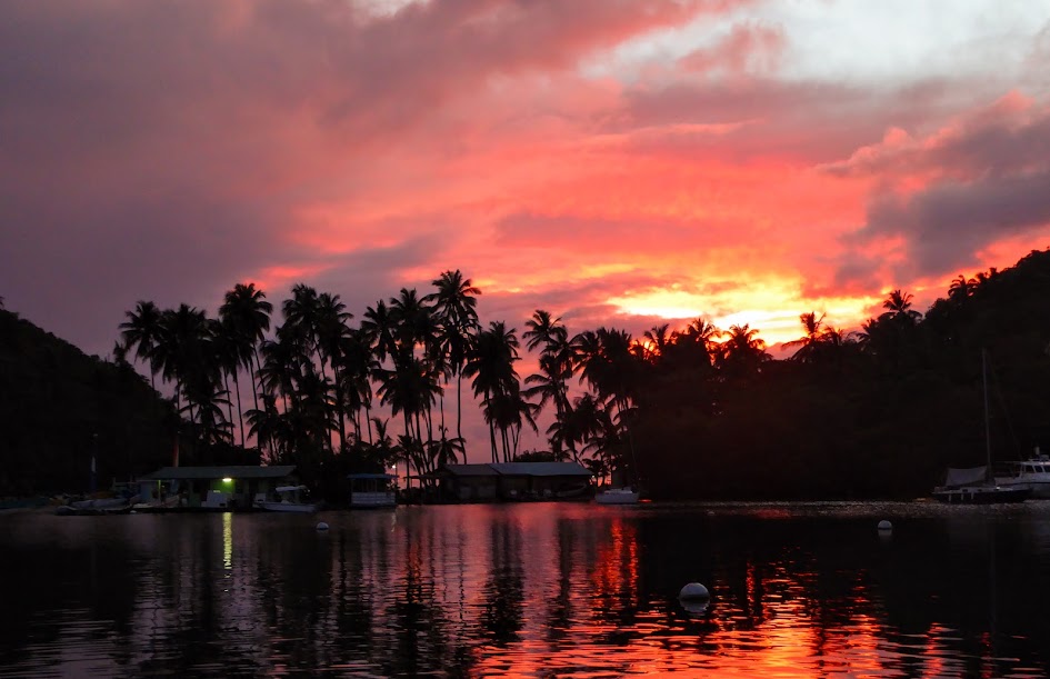
That evening, Scott and I took the dinghy out for happy hour at nearby bars in the bay. We enjoyed rum punches, cold Pitons (the local beer) and a beautiful sunset.
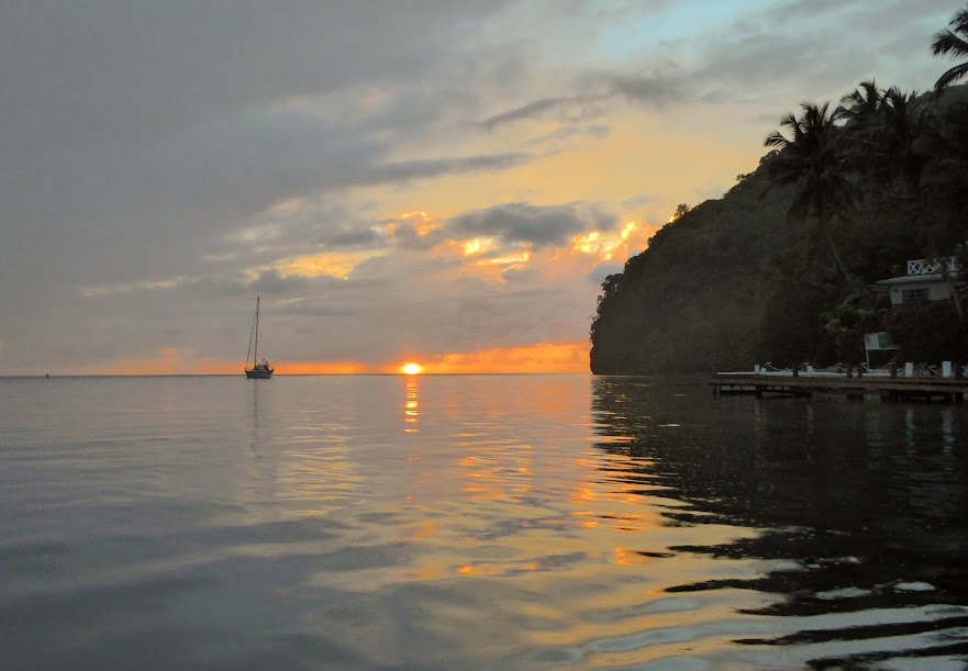
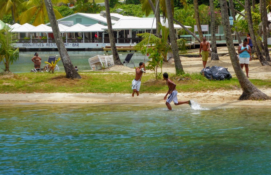
The next morning, it was time to push on. We passed local children having fun on a rope swing and enjoyed a few more scenic views as we said goodbye to Marigot Bay.
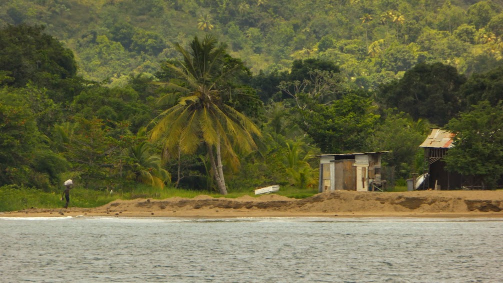
We made our way south along the coast, which was dotted with local cottages at the shoreline and multi-million dollar houses in the hills.

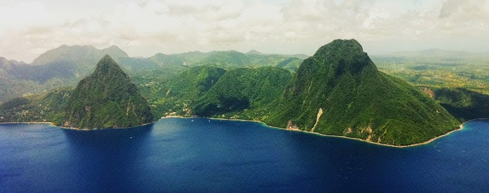
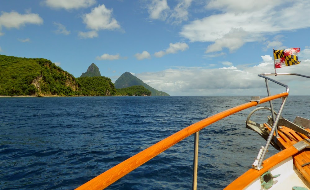
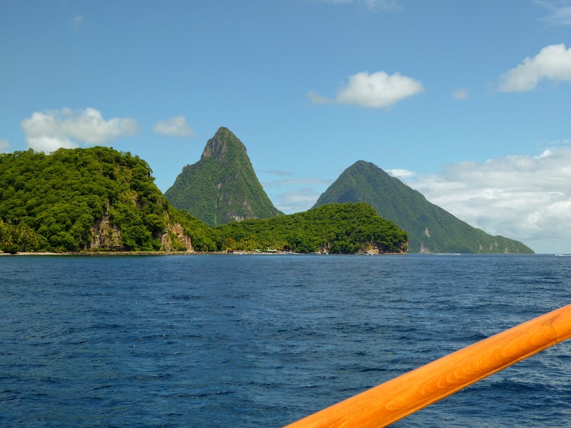
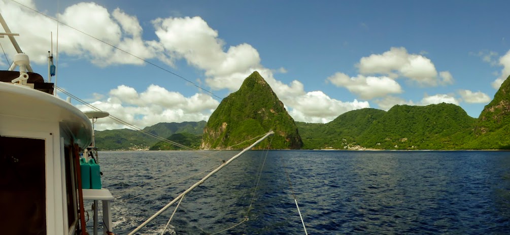
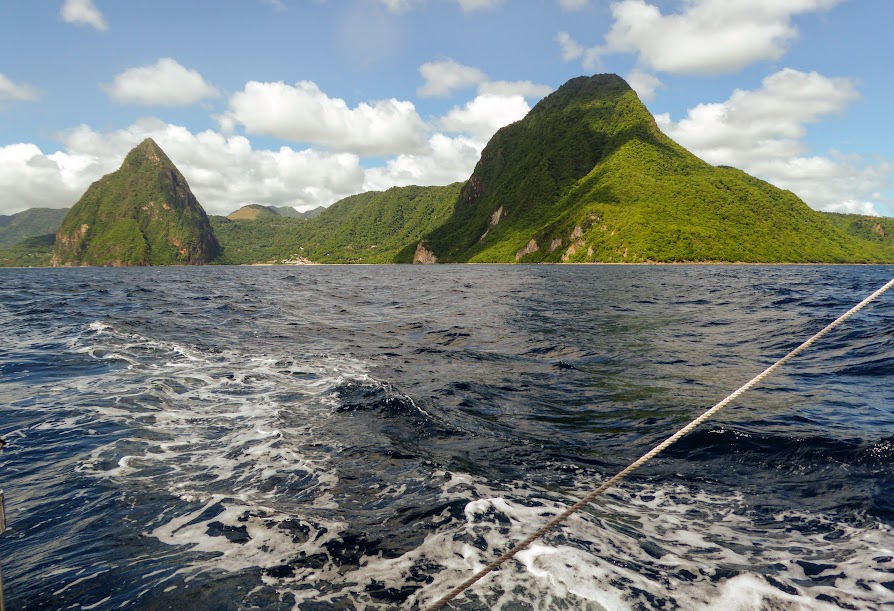
Eventually, we caught sight of the pitons in the distance. Coming south, they look much closer together than they actually are.

There are several resorts with terrific views of the pitons; some have open walls, offering unobstructed views.
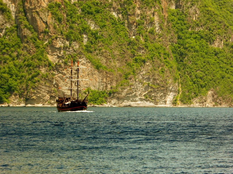
As we approached the pitons, a pirate ship tour boat made for a great, “Pirates of the Caribbean” photo.
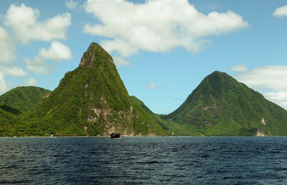
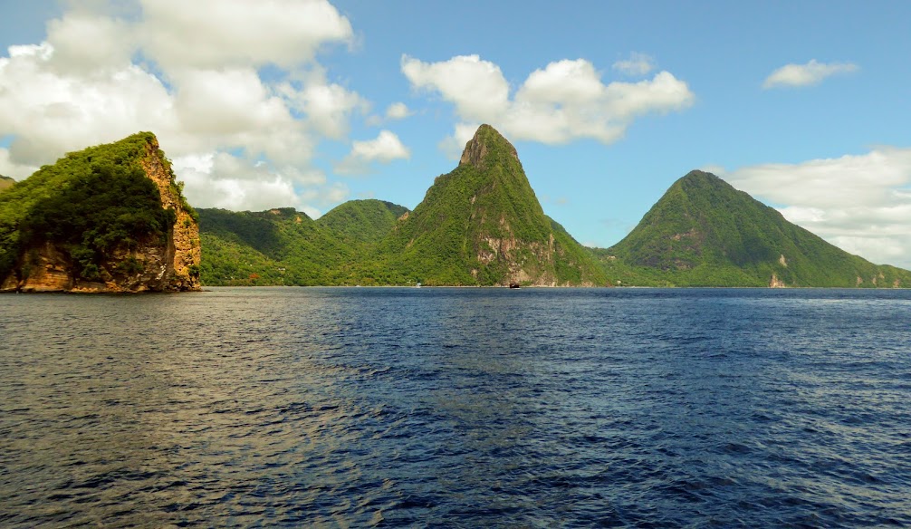
There are mooring balls at the base of these awesome mountains, but unfortunately the area around them isn’t safe for boaters anymore, so we didn’t stop. We did, however, take our time passing the twin mountains, to take many, many photos and just admire them.
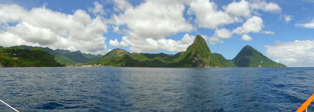
Approaching from the north, Petit Piton seems larger, and it was obvious why this mountain is harder to climb.

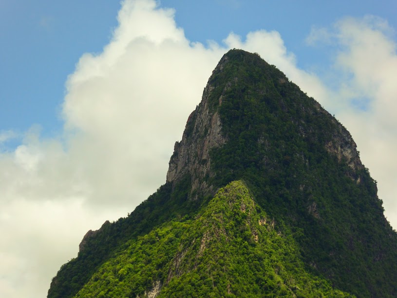
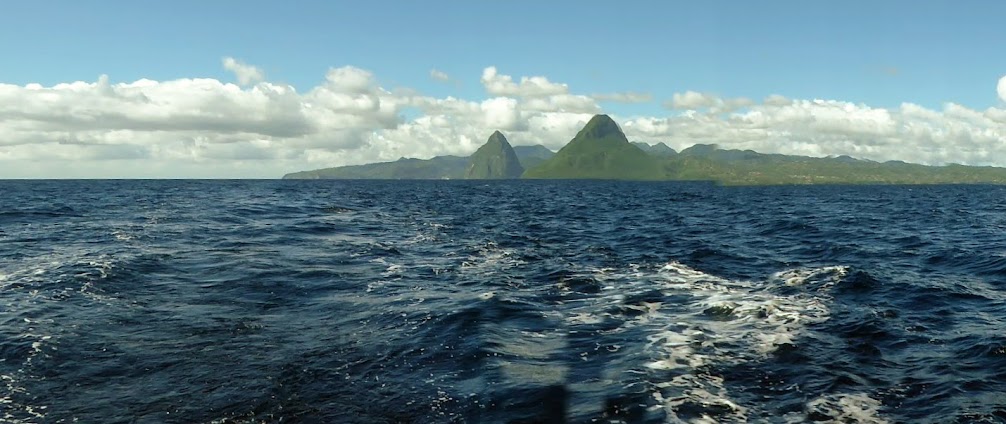
Further along, Petit Piton shrinks in size, and Gross Piton rises above it.
As we pulled away from St. Lucia, I snapped some final photos of the pitons, just as St. Vincent came into view off of our bow.
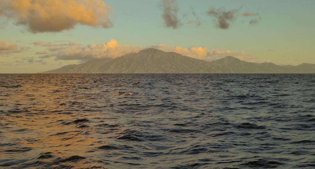
We were on an overnight run to the island of Carriacou, part of Grenada, where we would clear into the country . Howard was hunkered down for the night, and a bright moon rose over St. Vincent to light our way.

Here are many more photos of our brief visit to St. Lucia, and the amazing Pitons.
“Shells Sink, Dreams Float. Life’s Good On Our Boat!”
Looked like an awesome stop!
Fantastic pics of an absatively stunning location. Wow!
Great pics, thanks for sharing. Looking forward to the next post 🙂
Scott and Malina