Hurricane Irma….We’re All Clear!

Many people have reached out to us over the last week, inquiring whether we’re safe, and out of Irma’s path…we are well clear of her!

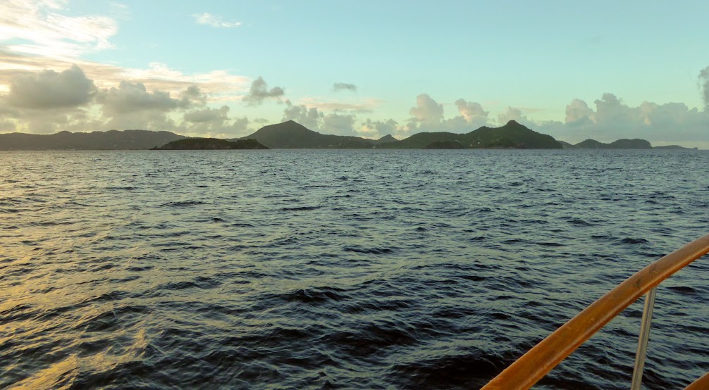
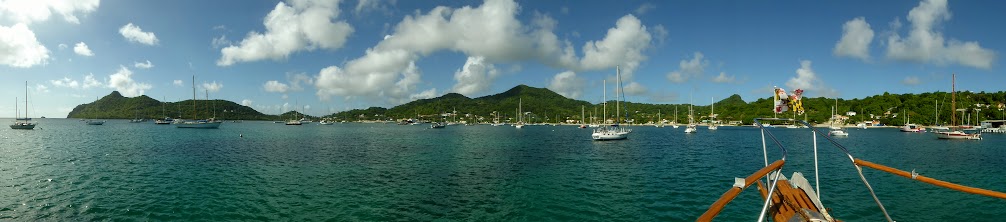
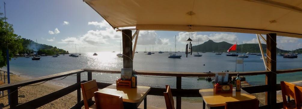
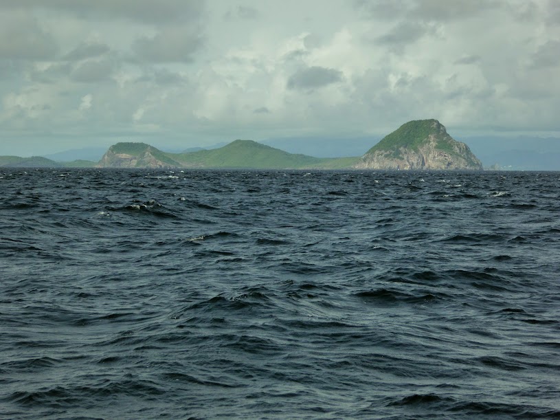
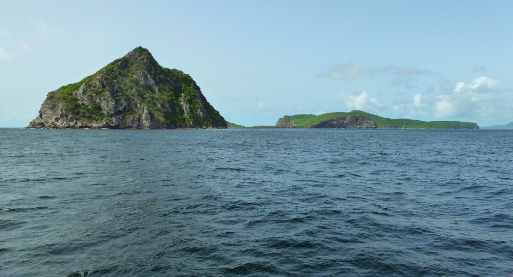
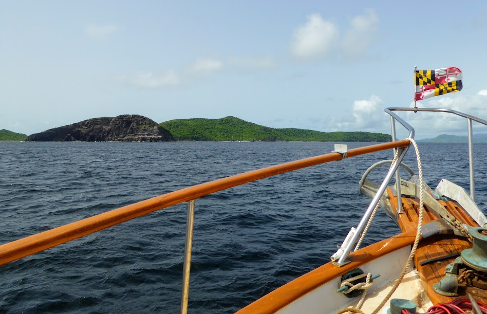
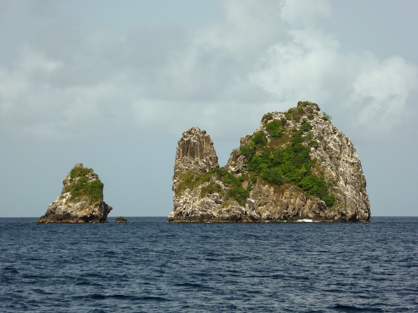
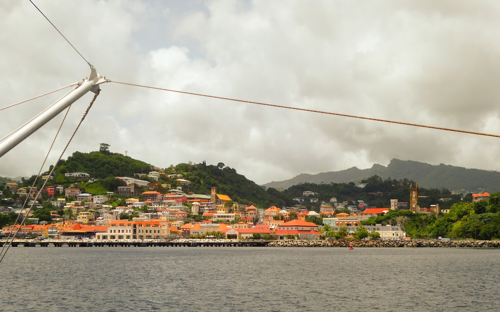
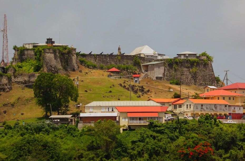
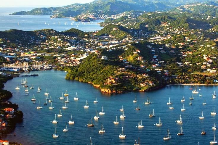
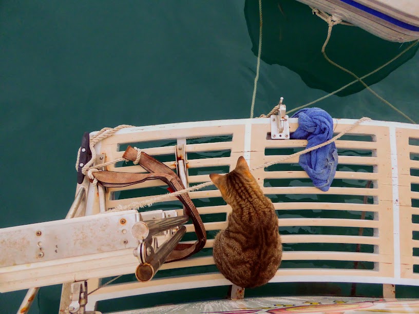
I have mentioned in several previous posts that we’d planned to head for the Eastern Caribbean, and make our way to Grenada for hurricane season. We arrived in Puerto Rico in late April, made our way south from St. Thomas in June and arrived in Grenada in early July. Sea Life is currently tied to a mooring ball in Prickly Bay, on the island’s south coast (just below the airplane at photo below).

Thankfully, we were well south of Irma’s path, and only had to deal with several days of large swell in the bay.

It seems there has been confusion as to whether or not we were in Puerto Rico, due to my latest post. Others just seemed to be asking in general, not knowing exactly where we are.

If you’ve met my husband, you’d know that there is no….way, in this lifetime or any other, that he’d have us in the upper Eastern Caribbean during this time of year. Not only would he be unable to sleep at night, I don’t think he’d be able to breath.

Scott has the utmost respect for weather. He cut his teeth on the waves, tides, currents, storms and surge, living on Shallow Creek, just off the Chesapeake Bay. Many weather classes were followed by a graduate degree in Western Caribbean cruising, earned over the last two years (holy cow…two years!).  The take-away??…Mother Nature rules, and we don’t mess with that.

We’re not sure why cruisers choose to be in these places at this risky time of year. I guess they get complacent, after years with no major storm hit. As we prepared to leave St. Thomas and head farther south, Scott met a couple who stay at anchor off of the island year round, claiming it has several good hurricane holes. Scott’s take? A hurricane hole is a hurricane hole….until is isn’t; Irma, case in point. Here’s a link that lists the extent of destruction to the islands affected by this massive storm.

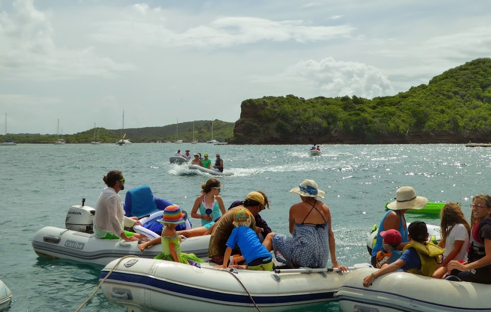
There were days of warnings for this huge, catastrophic storm, with little to no doubt of it’s path and impact on the upper islands. Several boats arrived here in Grenada over the last week from places north,  and we were shocked not to see many, many more.

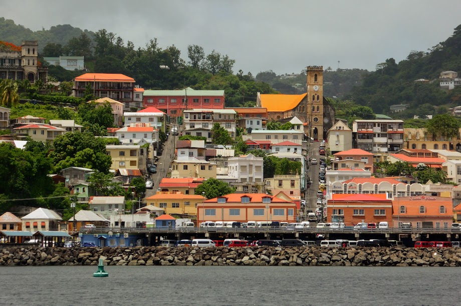
Aside from Trinidad and Tobago, Grenada is at the bottom of the Eastern Caribbean chain, and relatively safe from a major storm hit…relatively.

Our insurance covers us here, but I can tell you that if something even close to Irma’s strength heads our way, Scott will run us south, to escape the possibility of endangering Sea Life and her crew.

We are definitely missing Panama, where we spent last hurricane season. Being much farther south, and out of hurricane paths, we hardly checked weather. This year, although we are pretty well south, there is still a very real concern for storms, and we’ve had to keep on our toes.

Ok…all that said, here’s how to ALWAYS know where our CURRENT location is. I’ve mentioned this many times before, usually as we’re heading off on a passage, but it holds true all the time, whether we’re underway or at anchor:

First, go to the Where Are We Now Page of the blog. Click on “Where Are We Now,” at the bottom of the text, and you are taken to the site for our Delorme In Reach Satellite Tracker (now a part of Garmin).

I apologize for the spider web of lines and dots. Scott is a little Delorme-happy, taking the tracker along on hikes, bus rides and tours, as well as various water excursions. You can zoom out, giving yourself a broader view of Grenada. Once you’re far enough out to locate the words “Lanse aux Epines”, at the bottom of the island, begin to zoom in. The blue dot above the pi, in Epines is where Sea Life is moored. Continue to zoom in, and you’ll see our location in Prickly Bay.

Clicking on each dot opens a small window. Click on “more” in that window, and you’ll get info. like date, speed, elevation, etc.  Continue to zoom way out, and you’ll see our path over the last two years (again..two years!).

I hope this helps you keep track of our every move, so to speak. We are thankful for all of your messages and emails, and are grateful to have so many out there concerned for our safety; Sea Life is secure!

“Shells Sink, Dreams Float. Life’s Good On Our Boat!”

A Dinghy Concert

Not long after we settled into Prickly Bay, there was talk on the net of an upcoming dinghy concert. Apparently, Le Phare Bleu Hotel & The Lighthouse Bar sponsor a “dinghy concert” several times a year. A floating barge houses the stage, with two more flanked on either side, for seating and a bar. Cruisers and locals come by dinghy, tying to the barges, and each other, for an afternoon of music.

A dinghy concert you say??…awesome!! However, the concert was several bays over, and involved going out in open waters to round the bend. Our 3.5 horsepower dinghy motor would make for a slow, slogging go, and despite being inflatable-friendly, we feared the Aluminum Princess would not be well received in a large group of rubber dinghies; they just don’t understand her.

Luckily, our friends Mark and Deb, who we’d recently met in Martinique, offered to ferry us over on their dinghy; it was larger, with a more powerful motor. We gladly accepted, and the four of us were off on our way.

It was a lumpy ride, but we made good time and soon arrived at the bay near Le Phare Bleu. Many cruisers had arrived ahead of us,  and we tied on to the growing amoeba of dinghies.

As dinghies of all sizes continued to arrived, the group grew in size. We spotted our friend, “Tall Mark,” (red baseball hat) coming in on a homemade pontoon boat!

Water taxis shuttled those without dinghies, as well as many locals, from Le Phare Bleu over to the barges.

The ever-growing group included families with children, as well as pets.

A sailboat arrived and anchored just off the barges, ready for the day, with several inflatables of their own.

We settled in, and waited for the live music to start.

The band soon took the stage and began to play for the floating crowd.

As the music played people lounged in their dinghies and on floats,  sought “relief” in the water and enjoyed the day.

Cruisers swayed in their dinghies, and locals danced on the barges.

The hat twins took it all in..

Here’s a short video of the dinghy concert crowd, and the music:


A man in the dinghy next to us flew his drone off and on during the afternoon. I later found this overhead photo he took. We are at the lower left of the group, in between the small, dark blue dinghy and the larger fiberglass dinghy.

As time passed, we ran out of drinks…quite a conundrum. Scott took it upon himself to make his way to the bar. He crawled over the mass of inflatables, asking to “play through” as he went.

As he made his way across the amoeba, Tall Mark signaled him to use the pontoon for his final leg. Once aboard, Scott pulled it over to the barge, and climbed up…success! Our Prickly Bay neighbor, David, was there to greet him.

At the bar, Scott procured said drinks, and then surveyed his route back.

With two beers, and a cup of over-proof rum in hand, Scott made his way through the pontoon, across the dinghies and back to us, not letting anyone hold his precious cargo along the way.

While these photos capture the basic gist of Scott’s quest, here’s a video of the real-time journey, which I found hysterical:

Before long, dusk was approaching. The band stopped playing, allowing those on dinghies to travel safely back to their boats before dark. We untied ourselves from the shrinking amoeba, and headed for home.

With the wind behind us, we had a quick and comfortable ride back to Prickly Bay. Mark and Deb dropped us at Sea Life, before heading back to Kefi.

Our day of music, floating and fun was a good time for all. Whoever thought up the dinghy concert idea was a genius! Here are more photos of our fun afternoon.

“Shells Sink, Dreams Float. Life’s Good On Our Boat!”

Hey Don, Thanks For Going Easy On Us!

With Tropical Storm Don predicted to make a direct hit on Grenada, we prepared for 60 knot winds (always prepare for the worst). Scott secured loose things on the flybridge, stripped the canvas off of our bimini (canvas that shades the flybridge driving station), took the window covers off, removed our flags and stowed our extra solar panels (more on those later).

He tied an additional line to the mooring ball; readied our anchors in case we needed to drop them; put our large fenders in the cockpit, making them available in case another boat broke from it’s mooring and drug toward us; brought in our flopper-stoppers (large plates that hang from the paravanes, and reduce rolling at anchor…greatly reduce); and raised the paravanes, to reduced risk of another boat hitting them, making us more maneuverable through the anchorage should we need to move in a hurry.

While we were preparing the boat, the island of Grenada was preparing as well. One of the local radio stations broadcasted storm preparation information, and we heard the local Red Cross and Coast Guard making contact with each other over the vhf radio.

Businesses were required to close at 3pm, and we were very surprised to hear that public water and sewer were to be turned off at 7pm! Here’s a posting from the National Water and Sewerage Authority, with some interesting information:

ADVISORY – NAWASA TO SWITCH OFF ALL WATER SYSTEMS ON TUESDAY JULY 18TH, 2017

The National Water and Sewerage Authority (NAWASA) wishes to advise the general public that following a meeting of its Disaster Preparedness Committee, the following decisions were made:

– ALL WATER SYSTEMS will be switched off later this evening. A timeline will be provided once an update on Tropical Storm DON is received from NaDMA.

– Once our systems are switched off, consumers island wide will have their service interrupted WITHOUT A DEFINED RESTORATION TIME.

– An analysis of ALL water systems will be conducted by our engineering team on Wednesday July 19th and restoration will commence thereafter.

The Authority implores on the general public the need to:

• Collect and store water in clean, non-corrosive and mostly tightly covered containers both in and out of your refrigerator. To increase shelf life of water, group bottles in dark plastic trash bags to keep light out.

• Store enough water for each member of your family and pet. week.Have at least a minimum of three days supply, of thirty-five gallons per person, per day for domestic use. OUR MAIN ADVISORY – Water collection and storage to last minimum of three days and a maximum of 1 week.

• Store water in bath tubs, drums, pails and buckets for flushing of toilet, washing and general cleaning.

• Shut off water tanks and individual property connections. Your water can be shut off at either the outlet valve or the water meter. Everyone in your home should know where these are located.

NAWASA apologises for the inconveniences likely to be caused by this decision, but advises that this precautionary measure is necessary to safe guard our infrastructure and is in the best interest of the consumers we serve.


When our preparations were complete, we spent the rest of the day checking various online sites for updates on Don, and just waited, along with everyone else in the bay. Scott had a pre-Don cocktail, and Howard kept watch for fish.

Watching for fish can be tiring. Sometimes  you have to lay down on the job.

We were getting reports that Don was speeding up, but the eye was collapsing, and that wind speed predictions had dropped a bit; all good news.

As the day wore on, the winds died completely, and by early evening the bay was lake-like.  We watched the barometer drop on our weather station, and considered this the calm before the storm. The bay was noticeably less crowded, as many chose to hunker down in marinas or other island locations.

By sunset, Don was predicted to only cause us an hour’s worth of havoc, and at a much lower intensity. We began to get a decent swell coming into the bay, and readied for our 60 minutes of storm drama.

Instead, Don fell apart as it passed twenty miles south of us. We watched the radar updates online, and by 10 or 11pm, the storm, now reduced to a tropical wave, had officially passed us by without incident.There had been no wind to speak of, and we only received a quarter inch of rain.

The incoming swell lingered on though, and we continued to roll around for hours. Rolling back and forth (actually, Sea Life tends to lumber back and forth, as opposed to rolling) wasn’t as irritating as the noise from one of our paravane cables rubbing along a mast wire; the metal scraping sound was maddening. Realizing that Don was now a non-event, Scott lowered our paravanes and put the floppers back in the water….ahhhh.

So, Don fizzled out, thank goodness, and we dodged a tropical bullet. I’d like to believe that this was our one and only scare for the season, but we’ve learned all too well on this journey that Mother Nature is fickle.

“Shells Sink, Dreams Float. Life’s Good On Our Boat!”


Tropical Storm Don, Our Grenada Welcome Wagon

I have much to catch up on, but for now, a current update…..we arrived in Grenada a week ago, and Tropical Storm Don is our welcome wagon. Here’s a photo of Don’s predicted path. We are the bottom-most island/dot, in the yellowish-brown, with a 50-60% change of winds over 39 knots.

[Image of probabilities of 34-kt winds]

The storm is essentially passing right over us, with it’s specific path having very different results.

A tropical system spins counter-clockwise, with the top/north half having the most intensity.  Think of a pinwheel, sucking wind off in it as it spins. As the storm moves, that wind in the north half is given a extra boost, doubling it’s strength.

At the bottom of the pinwheel, the winds oppose the movement of the storm, and are much less, so south of a storm is where you want to be (scratch that…not anywhere near a storm is where you really want to be!).

If Don passes just north of Grenada, we expect sustained winds in the 25-30 knot range,  clocking around in every direction. However, if the storm tracks a bit south, we’ll get more direct winds, sustained closer to 45 knots….possibly as high as 60 knots.

None of this is life threatening, and we are preparing for maximum winds, just to be safe. Unfortunately, there are not completely protected anchorages or marinas here in Grenada, so we’re just gonna have to ride it out with fingers crossed.

We are currently in Prickly Bay, on Grenada’s south side. Many cruisers come to Grenada for hurricane season, so the bays are crowded with boats.

Map of Prickly Bay, Grenada


Image result for aerial view of prickly Bay

Our plan was to anchor, but we arrived to find that the marina here had filled most of the bay with mooring balls. Prickly Bay is safer than most, as far as local crime, so we chose to stay and take a ball. For those who may not know, a mooring ball is anchored to the bottom with a metal shackle. From there, a line travels up to the surface with a float/ball that you attach a line to.

On the positive side, balls are usually well spaced, and there’s no worry about boats with little anchoring experience breaking loose and dragging. The downside is that you’re never sure what condition the balls are in; whether the lines are still strong and the shackles are good. Several boats here have broken from their mooring here, drifting through the anchorage, one as recently as four days ago.

Our quandary is whether to stay here on the ball, and risk it breaking, or having other moorings break, and those boats drifting our way. Or, head for another bay that is just as full, and risk anchors dragging (instead of moorings breaking) and boats drifting. We considered going to a marina, but they aren’t much more protected from heavy wind, and Scott’s concerned about being tied down and not able to swing with the winds, or cut and run if needed.

Here is Don’s timeline…..Murphy’s Cruising Law: Bad shit almost always happens at night! (we are between the blue line, and the S to the right…roughly 10pm-midnight)

cone graphic

So, we’re hunkering down here in Prickly Bay, and hopeful that Don gives us a gentle welcome to Grenada.

“Shells Sink, Dreams Float. Life’s Good On Our Boat!”

Our Final Push To Grenada

After an easy overnight, we approached Carriacou (pronounced Carri-a-coo) just after dawn. The island belongs to Grenada, and we planned to clear into the country here.

As usual, there were interesting sights along the way: interesting rock islands, and a waterfront house that caught Scott’s eye.

In the early morning hours, we made the turn into Tyrell Bay anchorage. The large bay was full of boats, boats and more boats…I counted 82! We definitely weren’t in Kansas (aka, the Western Caribbean) anymore.

Once we were anchored, Scott made his way over to nearby Tyrell Bay Marina, where the customs and immigration offices were located. He arrived just as they were scheduled to open, but there was no sign of the customs officer. Thirty minutes later, the young officer showed up, and let Scott and several other cruisers inside.

Apparently, he’d been at a party the night before, not getting home until the wee hours, and consequently had a late morning start. Scott, having learned much patience with customs and immigration in the Western Caribbean, just smiled, nodded and waited to be called on. There is an online service in place for several of the Eastern Caribbean islands, called Sea Clear. Clearance forms can be complete online before arriving, saving time when in the office. Customs officials like it, as they spend much less time deciphering handwriting.

Not all cruisers use this service, and end up having to fill out the lengthy forms by hand before getting their turn. As a result, Scott has ruffled feathers more than once, by being waived to the front of the line. Sea Clear, and Scott’s patient attitude, has made for quick and friendly clearance on several Eastern Caribbean islands.

Back to Carriacou…the immigration officer must have been at the same party, and must have stayed even later, as he never showed up at all! Once the customs officer finished his paperwork, he did the immigration clearance for Scott as well, and we were official in Grenada.

To celebrate, we headed to shore for lunch at the Lazy Turtle. In addition to other items, pizza was on the menu, and was billed the “best in the Caribbean.”

The pizza was far from the best in the Caribbean, but it fit the bill for lunch, and views back out at the crowded anchorage were good. Soon, the afternoon sun had us changing locations, over to some funky, wooden tables in the shade. After lunch, we spent time wandering the island a bit, then returned to Sea Life for an early night.

The next morning, we raised anchor and continued toward Grenada. We made one last stop at Rhonde Island, also owned by Grenada, for a few quiet nights at anchor.

There anchorage has room for only four or five boats, a nice change from 82! We enjoyed the quiet, space and Scott got some exploring in.


From Rhonde Island, it was just a day trip to Grenada. We passed more interesting rock islands, and Scott put some lines in the water hoping for a nibble; unfortunately, he got skunked again.

Moving down the west cost of the island, we passed the capital city of St. Georges, and the remains of Fort George.


We passed several types of interesting boats in St. Georges anchorage, and the large Sandals LaSource Grenada, before turning east, to head along the south coast.

An hour or so later we made our final turn, into Prickly Bay.  Again, this large bay was full of boats. There wasn’t enough room to lay out a proper amount of anchor chain, so we chose to grab one of the marina’s mooring balls.


We’d made it to our hurricane season home. Howard checked out his new surroundings, and we settled in.

Here are more photos of our final push to Grenada.


“Shells Sink, Dreams Float. Life’s Good On Our Boat!”