Howard
Saba…An Island In The Clouds
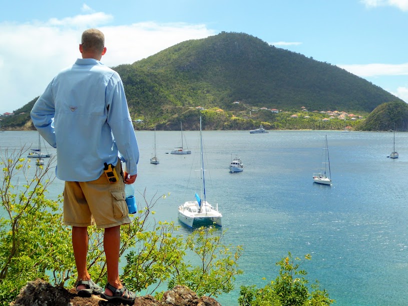
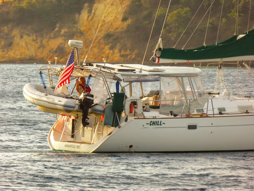
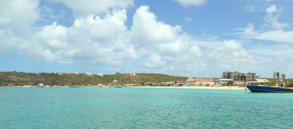
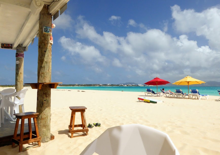
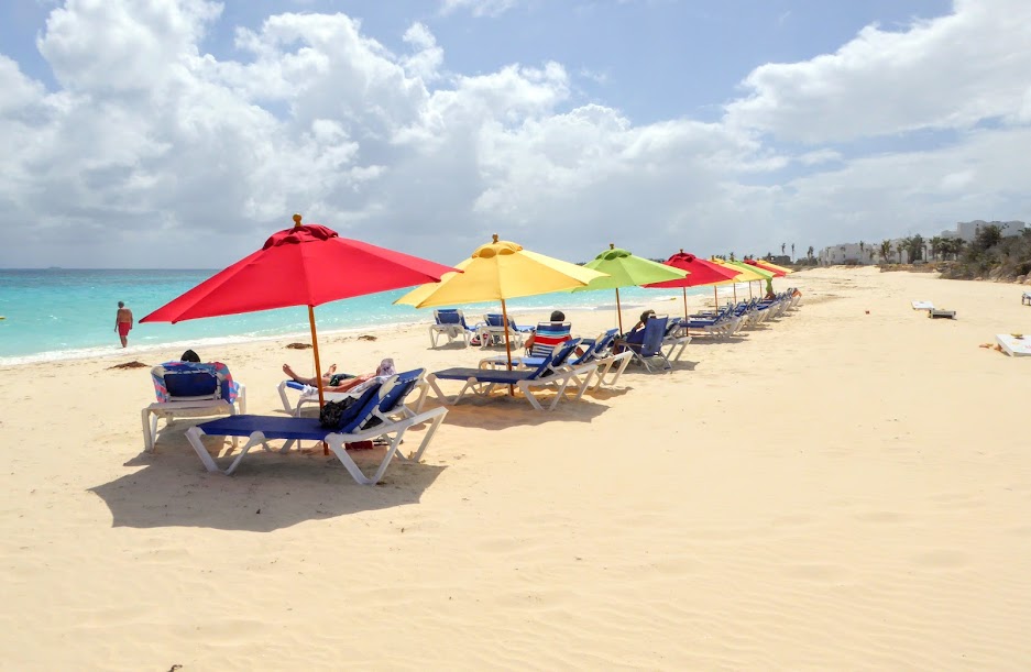
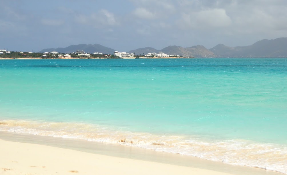
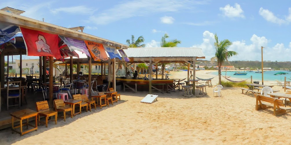
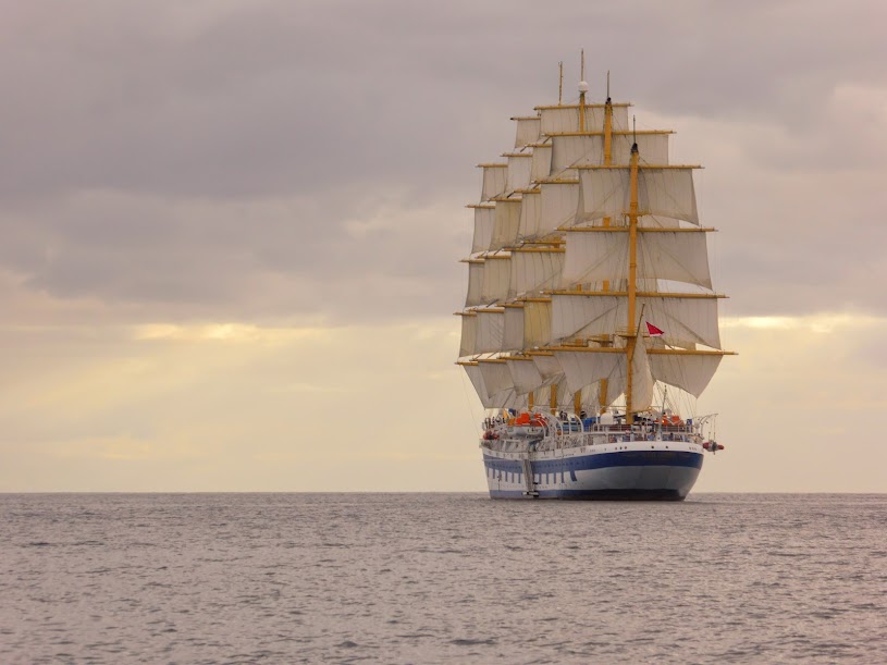
From Anguilla, we headed south, to Saba, which was on Scott’s must-stop, cruising list. Similar to Montserrat, the weather needs to be pretty stable to stop at Saba. The island has no natural harbor, and the mooring balls on the island’s west side aren’t protected, essentially placed in the open Atlantic.
The winds were far from calm, and offered only a two day window before they would increase even more, and force us on, but we decided to make a go of it. After having to give up Montserrat, we decided that visiting Saba would be worth a few days roll on a mooring ball.
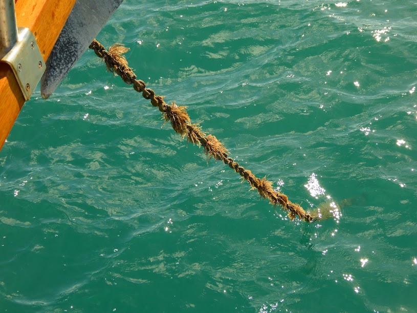
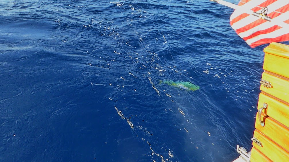
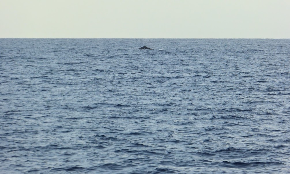
As we traveled, Scott put lines in the water, hoping for a bite. He got one…just as we noticed a waterspout on the horizon!
The bite was a big one, in the form of a sizeable white marlin! Scott worked on reeling the fish in, while I kept my eye on the spout.
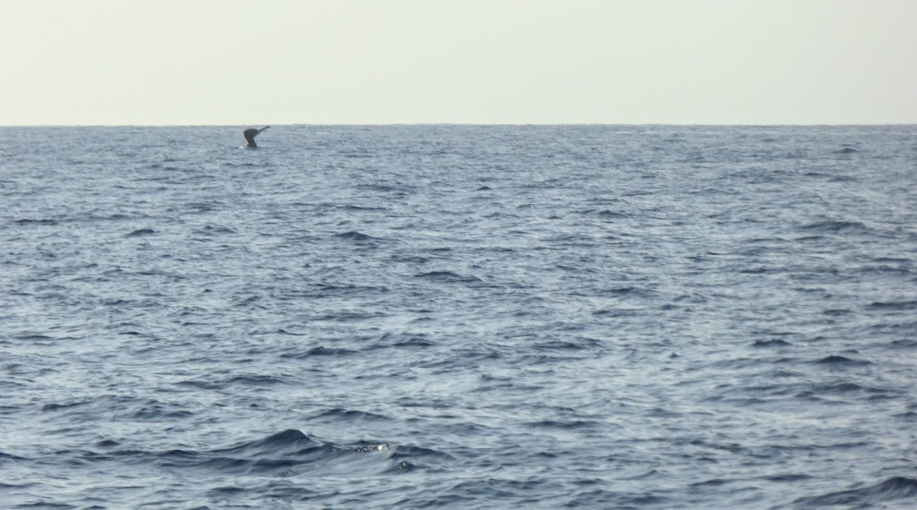
Obviously, we weren’t going to eat the marlin, and I forbid the fish from entering the cockpit, with its inhospitable bill. Scott didn’t want to lose the lure, so he reeled the fish in, pulled the lure further up the line and cut the marlin free. He sure was pretty up close, even with the inhospitable bill.
Not long after he’d cut the marlin loose, Scott reeled in a mahi. It was much easier to reel in, but that fish put up quite a fight in the cockpit, before Scott declared victory.
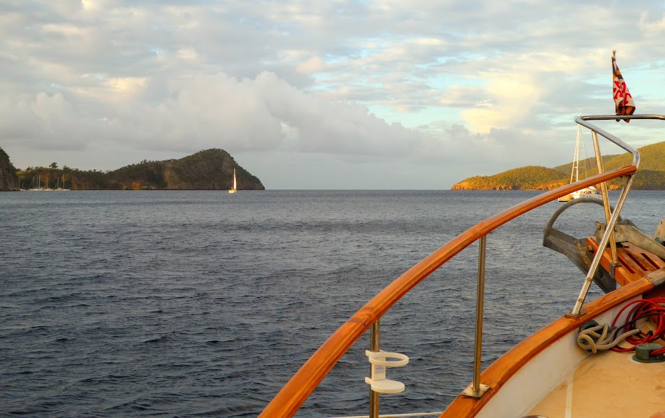
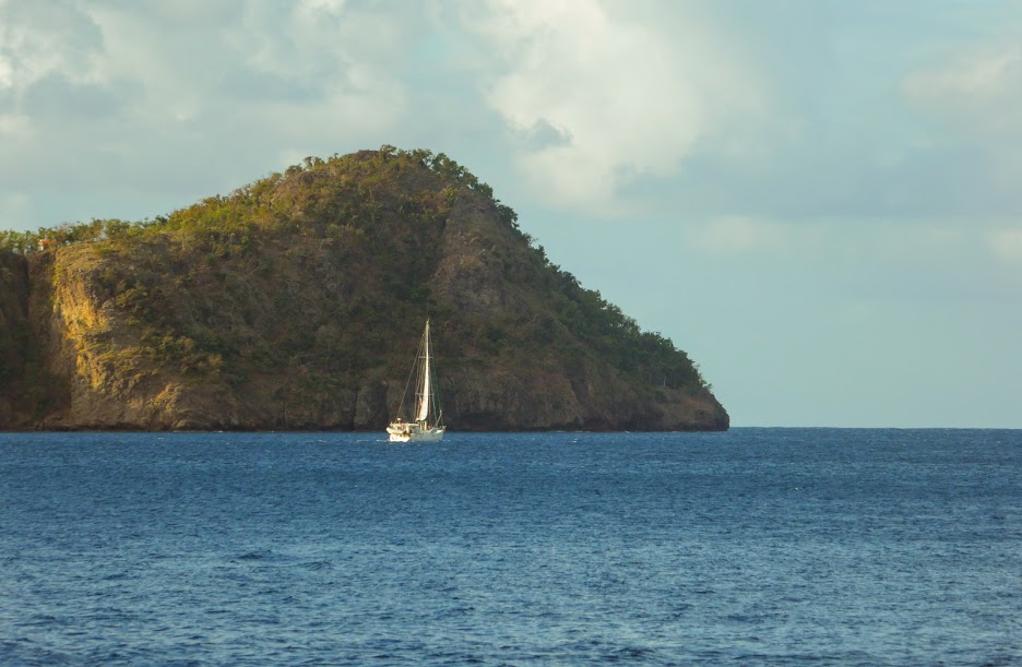
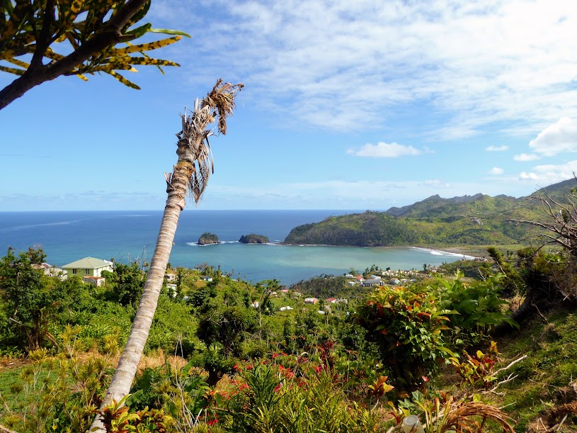
The tiny island of Saba is the peak of a 500,000-year-old volcanic cone, soaring 5,000 feet from the sea floor. You may not have heard of Saba before, but chances are you’ve seen it: the producers of the original 1933 King Kong movie were enthralled with the island’s craggy, volcanic silhouette, and used its likeness as the backdrop for the colossal gorilla’s “Skull Island” home.
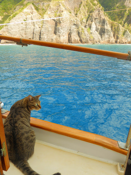
As Saba came into view, it could definitely have passed for a prehistoric island.
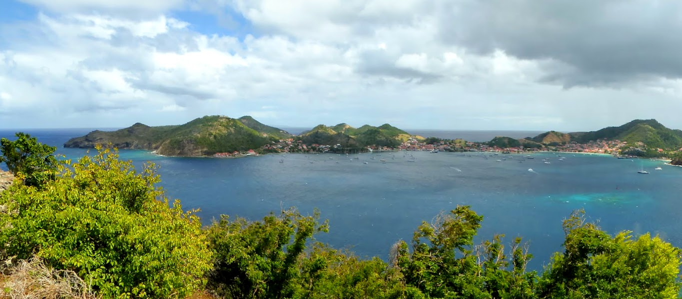
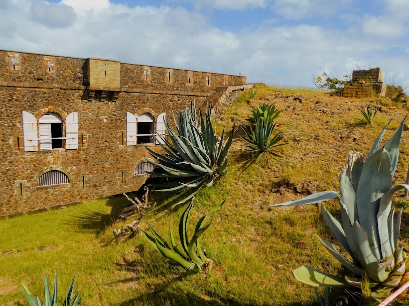
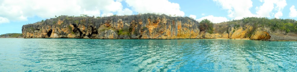
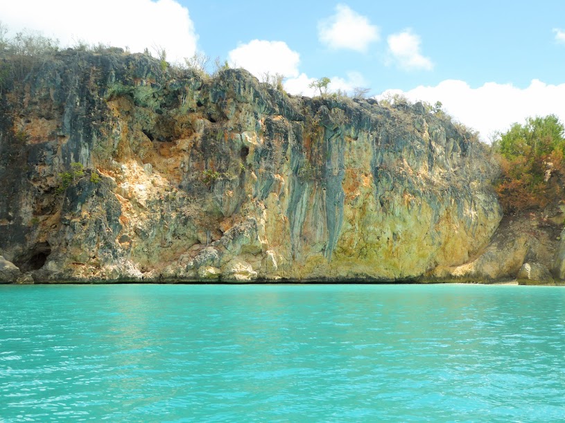
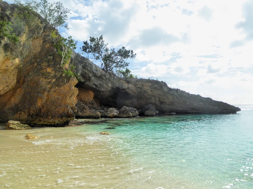
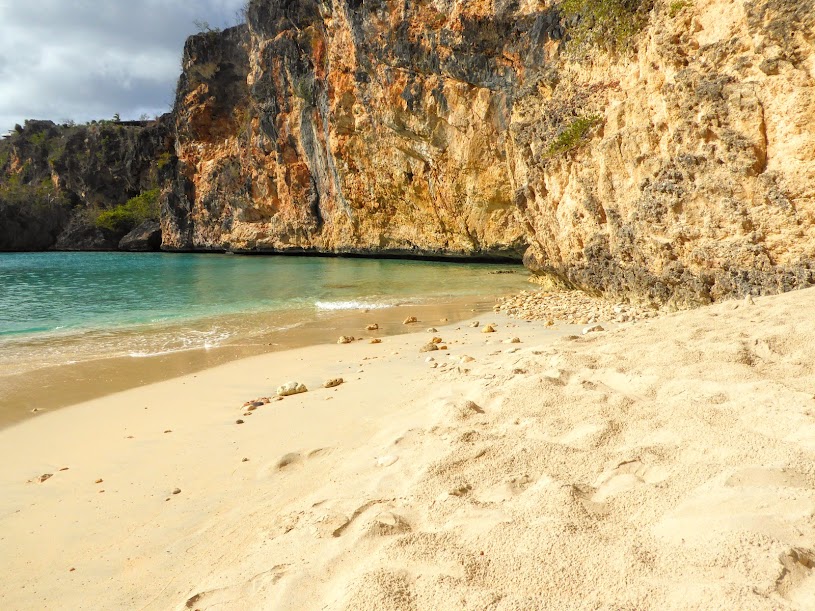
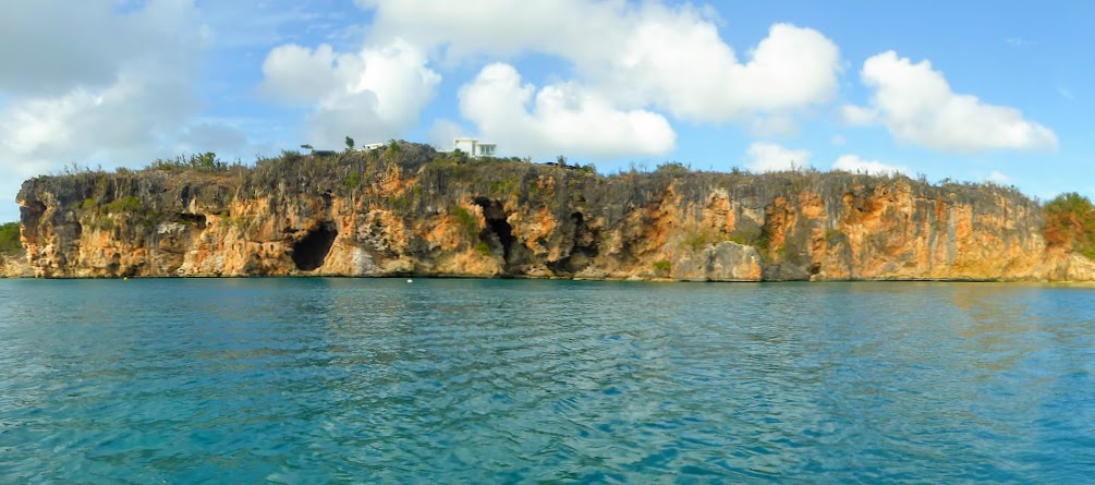
Aside from its brief brush with fame, the island remains widely unknown, and is referred to by locals as the “Unspoiled Queen” of the Caribbean. Untouched by cruise ships and chain restaurants, with an insanely small airport, lack of a real harbor, sandy beaches and sheer cliffs all around, Saba is in no danger of being over-commercialized any time soon.
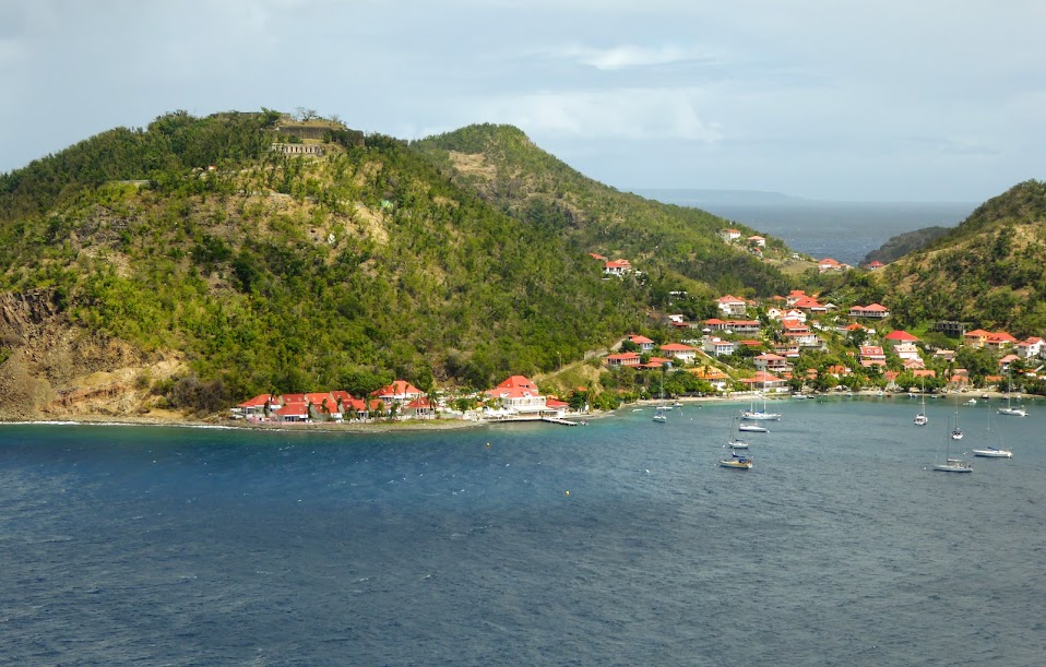
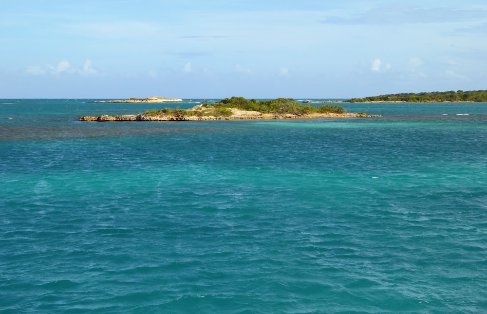
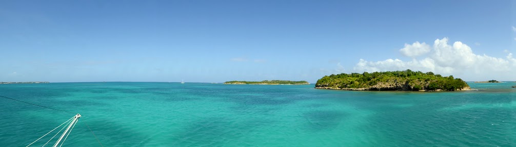
We tied to one of the free moorings in Ladder Bay, on the island’s west side, and spent the rest of the day taking in the view of Saba’s majestic cliffs, and rocky coastline.
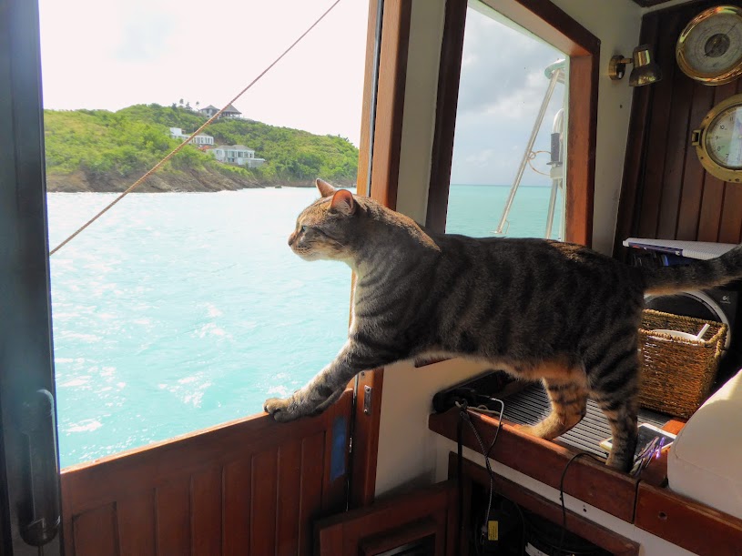
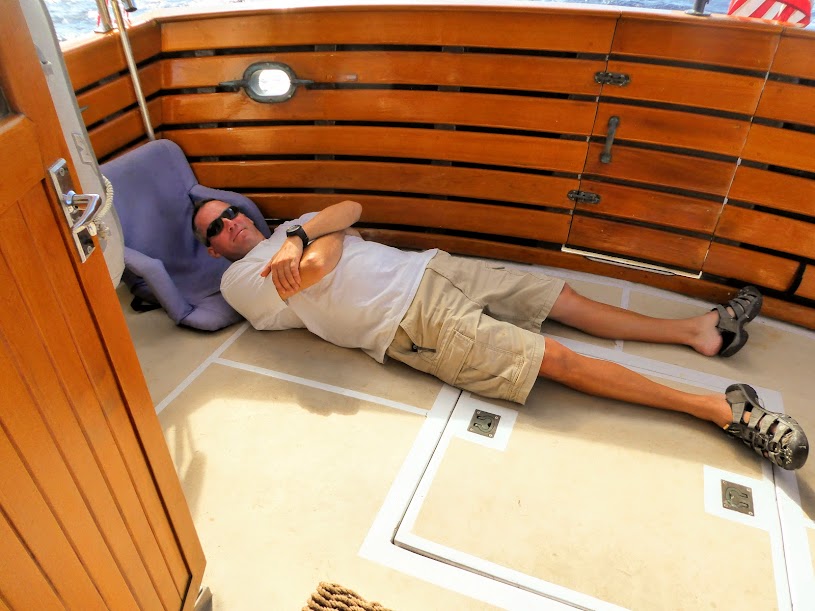
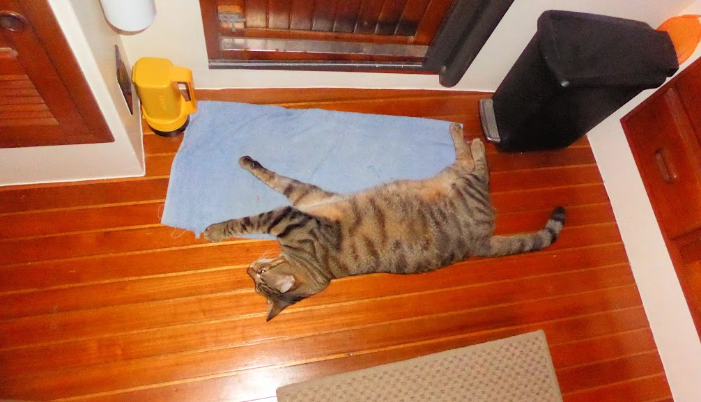
Saba even impressed Howard.
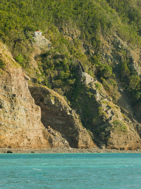
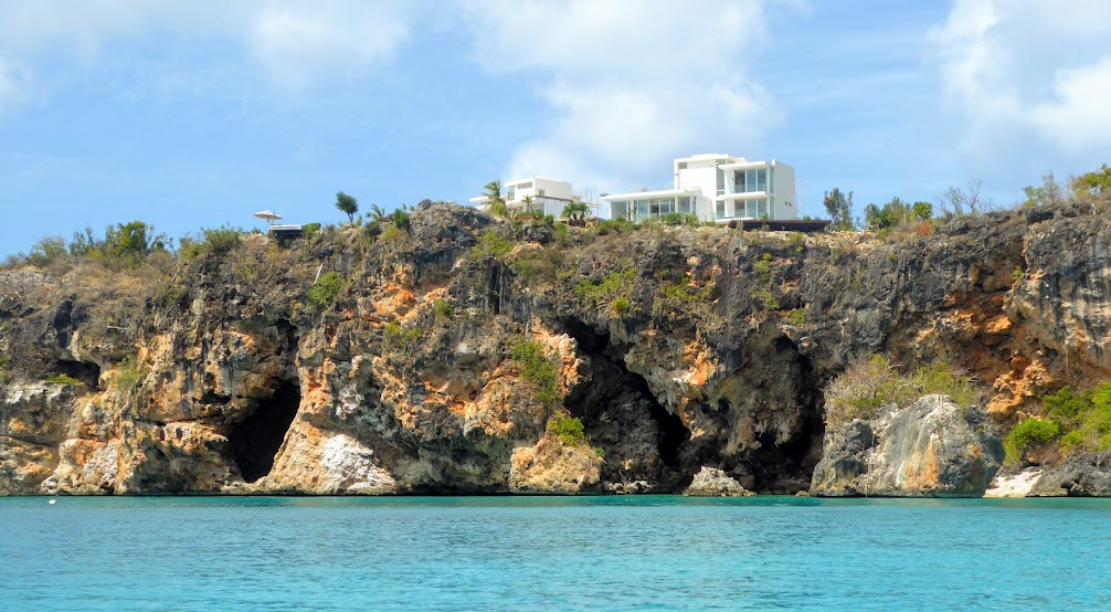
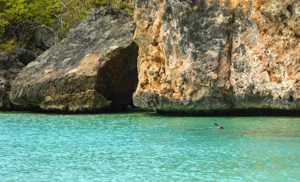
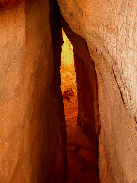
Sadly, landing the dinghy along the rocky coast was not an option, which upset Scott greatly, as he noticed the many caves along the waterline, begging to be explored.
But what really upset Scott, was not being able to land his dinghy and climb The Ladder. Ladder Bay is named for a steep set of 800 steps, carved into the rock, known as The Ladder.
The steps lead to Saba’s old custom house, and before the island’s only road was built in the 1940’s (more on that crazy project later), The Ladder was the only way to reach the island’s capital city. Anyone or anything had to ascend these crazy, winding, Lord of the Rings-style steps.
Here’s a great three minute video I found online, posted by a guy descending The Ladder in 2014. He starts the journey down at 26 seconds, and at about a minute and a half (1:30), the steepness factor turns up a notch.
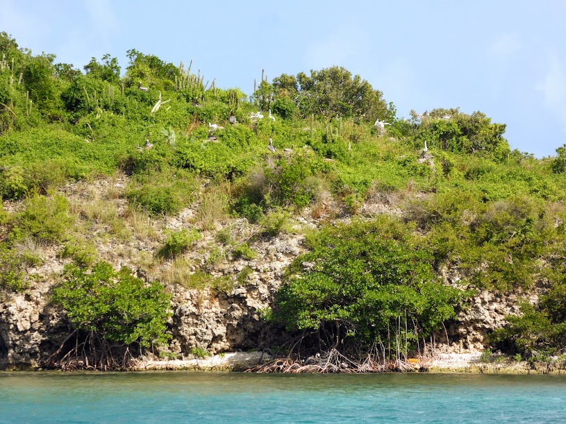
Our mooring was approximately seven miles from the Saba Bank, a huge submerged atoll, and the third largest of its kind in the world. The bank is a flat-topped seamount that rises almost 6,000 feet from the ocean floor, to within sixty feet of the surface. It’s teeming with life, and home to a vast array of corals, sponge and fish species, some of the richest diversity in the Caribbean Sea. A pretty cool tidbit, even though we weren’t here to dive.
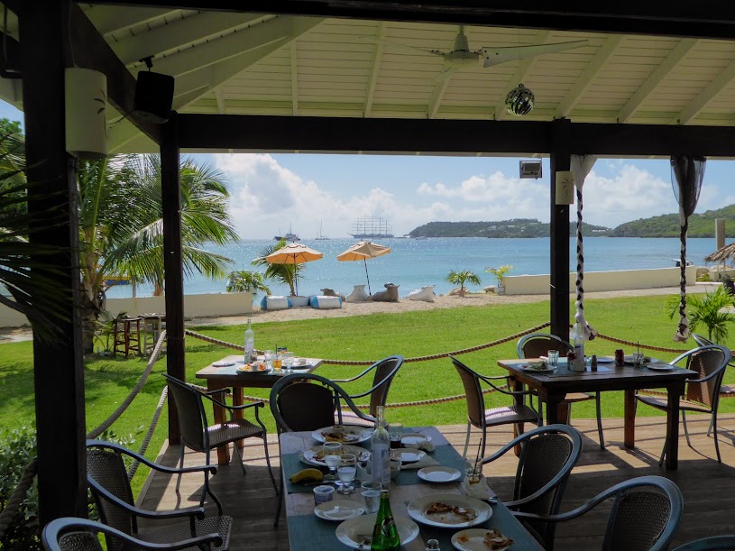
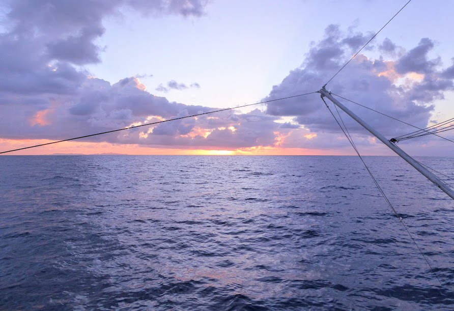
Back to the view from our mooring ball. We continued to stare at our beautiful surroundings, which became even prettier at dusk, and then enjoyed a beautiful sunset.
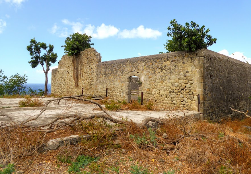
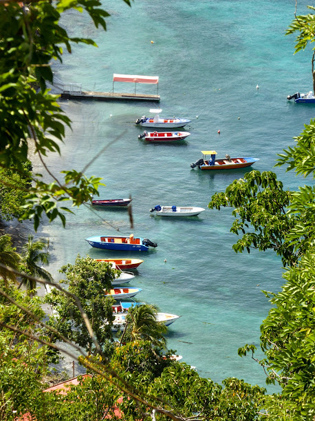
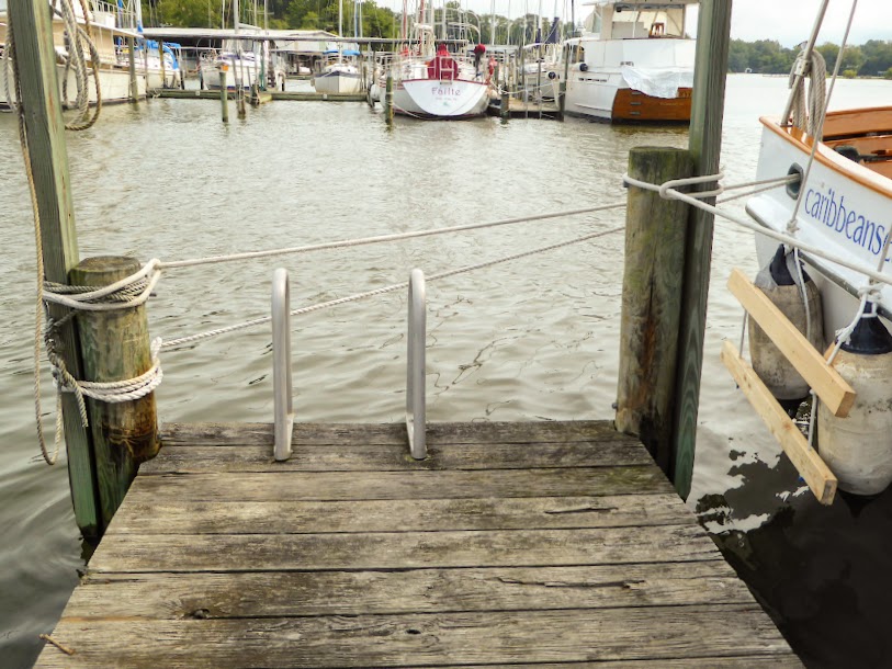
The next morning, we took the dinghy on a lumpy ride around the corner, and into the small commercial harbor at Fort Bay, to clear in. The island has been a Dutch territory for the last 345 years, but today’s official currency is the USD, and English and Dutch are both official languages.
The island’s four villages are all located at much higher elevations than the harbor. We’d read that a taxi ride to the town of Windwardside, where we were headed, would run $50.00, and include a bit of a tour and local information. Done deal, as walking the steep, winding road was not an option. It actually is an option, but since we weren’t in training for a triathlon, the cab option was just fine.
One of the dive shops along the harbor called a cab for us. We were told Dawn was on her way from the other side of the island, and not to get into any other taxi. In less than ten minutes, Dawn arrived and we were on our way up The Road (yes, another “The”).
Before The Road, life on Saba was much more difficult. Traveling the island’s twisting trails was an arduous task, as everything including the kitchen sink was transported by hand, and donkey, across the island’s grueling elevations (after being carried up the steep steps of The Ladder), beneath the unforgiving Caribbean sun.
Both Dutch and Swiss engineers claimed a road couldn’t be built on Saba, due to the island’s extreme topography. However, local Saban, Josephus Lambert Hassell, had issues with the word “couldn’t.” He earned an engineering degree through correspondence courses, and in 1938, with the assistance of his fellow Sabans, got down to the business of building the impossible.
The first section of road was completed after five years of work, using no heavy machinery (yes, this crazy road was all built by hand!). In 1947, the first motor vehicle arrived, and in 1958, “The Road That Could Not Be Built” was completed, with its highest point rising over 1800 feet above sea level.
As we traveled, the expansive views across the mountains, and back down to the water below were amazing.
The Road itself, scared me to death. We could see it winding along the mountain ahead of us, full of twists and turns, many of them hair-pin and switch-back. In many places, one side of The Road was too near the edge of a steep incline, and other times it just seemed to hover in mid air (Remember…this sucker was built by hand!).
On our way to Windwardside, we passed through the village of….wait for it, The Bottom (what’s with the “The’s?!?), It’s the capital of Saba, and home to The Saba University School of Medicine.
Started by a local doctor, and initially funded by American expatriates and the Dutch government, the university is a lucrative business for the island. When classes are in session, its 400 students become islanders, and aside from providing healthcare for the island’s people, the school also adds a few million dollars to the Saban economy through its fees….win-win.
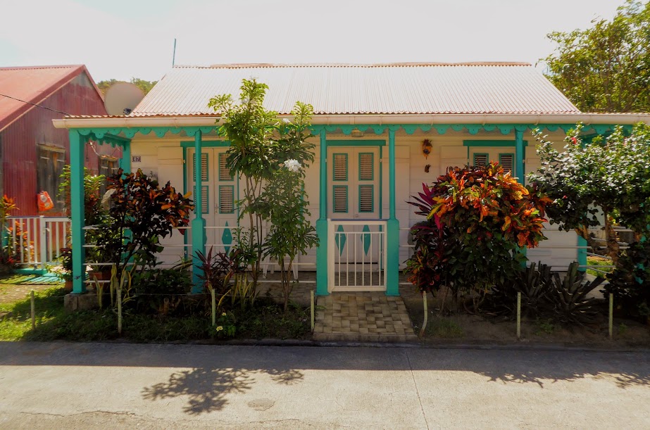
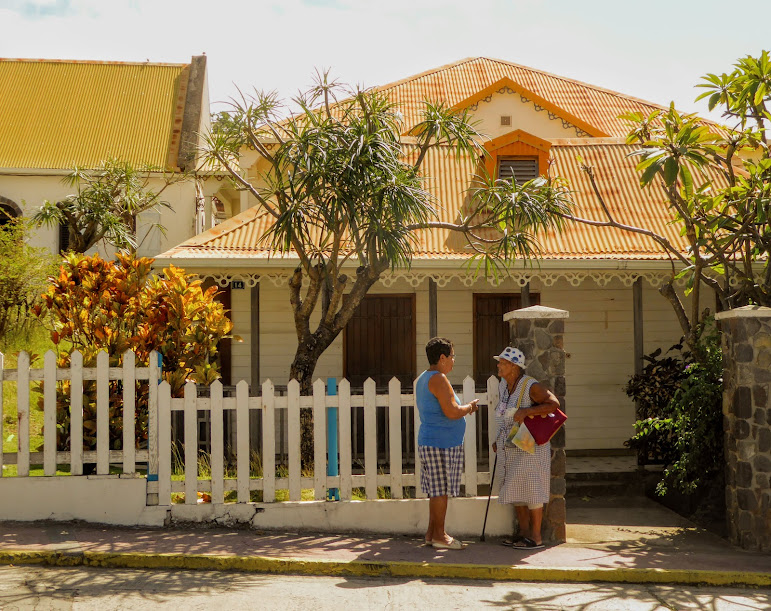
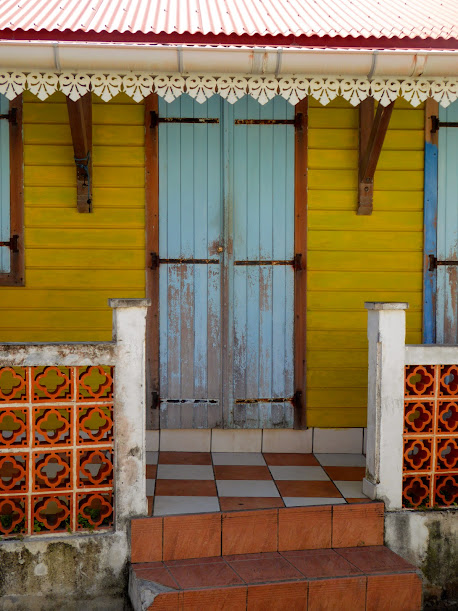
When we arrived at the village of Windwardside (named for its location on the island’s windward side), it looked like someone had picked up a picturesque European town and dropped it onto this volcanic island in the Caribbean. As we’d seen on the French islands, many of the homes looked as if they’d been freshly painted. Gingerbread trim, which accents many homes throughout the Eastern Caribbean, and neat and tidy gardens, full of tropical plants and flowers framed the quaint houses, and picket fences or other decorative wooden enclosures complete the picture.
What made the homes on Saba different, with a few exceptions, is that they all looked the same, at least from the outside. Red zinc roofs, that decorative Caribbean gingerbread trim, and green shutters seemed to define the architecture. We learned that this uniform look is the law!
Apparently, locals never questioned how their homes should look, until approximately 30 years ago, when a few foreigners moved to the island and changed their new homes to suit their own preferences. Sabans, some of whom can trace their ancestors back to the first settlers in 1640, were shocked.
As a result, the local government decided it was time to make what was a long-standing tradition into a law, with homeowners abiding by strict style and color schemes. “Saba houses,” one-story wooden homes, typically built on a stone foundation, are all white-washed. They have similar sized windows, with shutters that are painted either green and white, red and white or all white.
Those red roofs, all have the same pitch of about 35 degrees (though over the years some homeowners have replaced the original shingles with sheets of corrugated iron, for easier upkeep and a bit more stability against hurricanes), and picket fences are trimmed in an approved color.
Dawn had relatives who lived on Saba, and recently moved to the island herself from St. Thomas, being lucky enough to buy a “Saba house” that had come up for sale soon after she arrived.
You’d think all of this uniformity would look uninspiring and dull, but in Saba the result was absolutely charming. Through the main part of town, and in surrounding hills, the fresh-looking red and white houses sparkled against sun, and made the view down to the sea far below even more beautiful.
Scott’s sole reason for coming to Saba was to hike Mount Scenery. A dormant volcano, Mount Scenery last erupted in 1640, and is the island’s most dominant feature. It rises to 2877 feet, which also happens to be the highest peak in the Kingdom of the Netherlands! Here’s an aerial view of Saba’s Mount Scenery, with the capital city of The Bottom on the left, and Windwardside on the right.
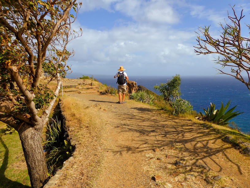
Behind a shop in Windwardside, a trail comprised mostly of 1064 stairs leads to the top of Mount Scenery. The staircase was constructed (by hand of course) in1969, to access the communications tower being installed at the summit, and was completed in 1970. Scott left me to wander the town, and began the climb. (I had the camera in town, so Scott shot these photos with his iPad, and they transferred over pretty small, and not as clear as I’d like…apologies).
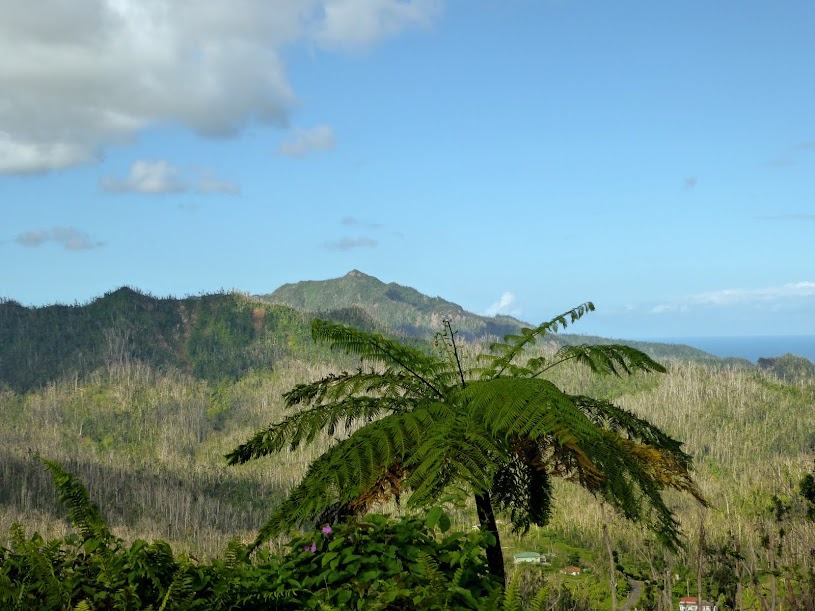
A cloud forest dominates Mount Scenery’s upper 150 feet. Rain forests are located at lower elevations, so they tend to be much warmer. Cloud forests, on the other hand, are usually located at much higher elevations, and are much cooler. The difference in temperature causes mist and fog, often visible in a cloud forest, as the milder temperatures slow the evaporation process. Despite being cooler than rainforests, cloud forests are still very humid…yay for Scott! Here’s an aerial view of Saba, with it’s “head” in the clouds.
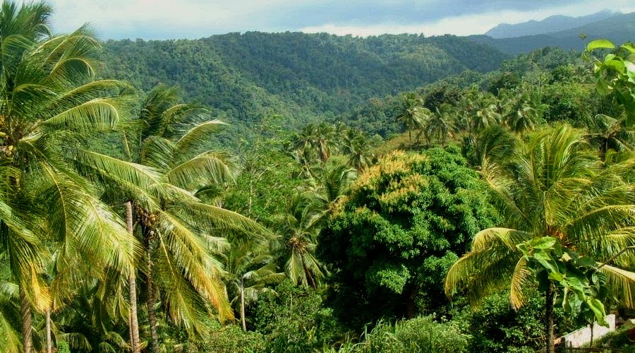
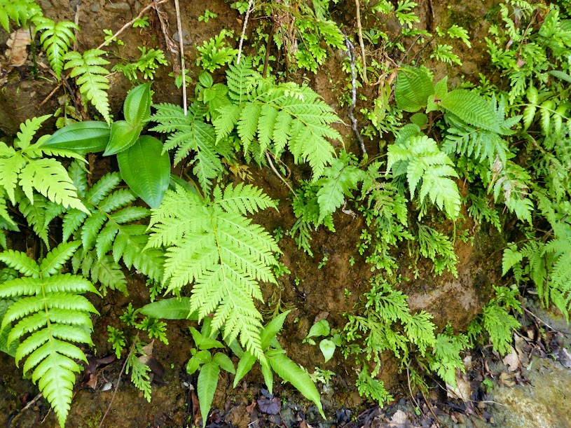
Scott walked up, through thick, lush vegetation, passing ferns, elephant ears and other plants, all huge in size.
The forest absorbs water from the humid air, so its plants and trees are constantly moist and grow abundantly. Saba’s cloud forest is unlike others found in the Caribbean, due to its 200-year-old Mahogany trees, which dominate the peak, and can grow up to 49 feet tall, while canopy heights in other cloud forests rarely exceed 20 feet.
These large trees are smothered with plants and mosses that hang from the branches and act like sponges, soaking up moisture from the clouds and rain, providing the forest, and vegetation at lower levels with a constant trickle of life-sustaining water.
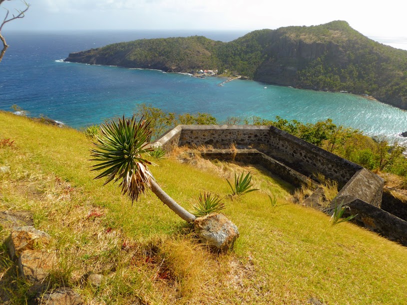
At the peak, this is the view one would hope to see…
Unfortunately, this is what Scott saw, due to said cloud forest…
He waited a bit, and began to get a peek at the view below…
And then…cloud…
A bit later, another peek…..
Scott decided to linger, wander around and enjoy the surroundings….because how often do you get to hang out in a cloud?!?
Scott’s patience paid off, and voila!, the sun came out and the view below became much more clear.
Having waited out the clouds, Scott began his decent along the many stone steps, passing several Saba houses along the way.
At the bottom, he received a certificate in the trail shop, documenting his achievement. Only twenty more trails to conquer on this five square-mile island! But they would have to wait for another visit.
While Scott was sweating it out on the mountain, I was enjoying the town of Windwardside. The restaurants and shops in town seemed to follow the rules as well, with red roofs, white paint and green trimmed windows.
Several of the shops in town had pieces of Saba lace for sale, which has an interesting history. In the 1870’s, Mary Gertrude Hassell Johnson was sent by her parents to study at a convent in Caracas, Venezuela. There, the nuns taught the girl how to create the intricate designs of this needlecraft.
Mary brought the craft back to Saba and in 1884, when regular mail service first connected the island to the outside world, the wives and daughters of Saba’s seafaring men turned the craft into a home-based, mail-order industry.
The women came up with an ingenuous way to market their needlework. As boxes of merchandise were sent from the United States to Saba, the ladies would copy addresses of the American companies and send them letters, explaining their work and listing prices. Often, a sympathetic person receiving the letter would post it on the company bulletin board, and ultimately the lace makers would receive orders for their work. By 1928, the Saban women were exporting almost $15,000 worth of needlework annually…that’s a pretty darned good amount for 1928!
Now, more than a century later, the skill learned by a young Saban girl still provides a means of support for many families on the island. Blouses, dresses, tablecloths and napkins, in a variety of colors, are only a few of the pieces the Saban women create. The lace was beautiful, but pricey, so I had to pass on this piece of the island’s history.
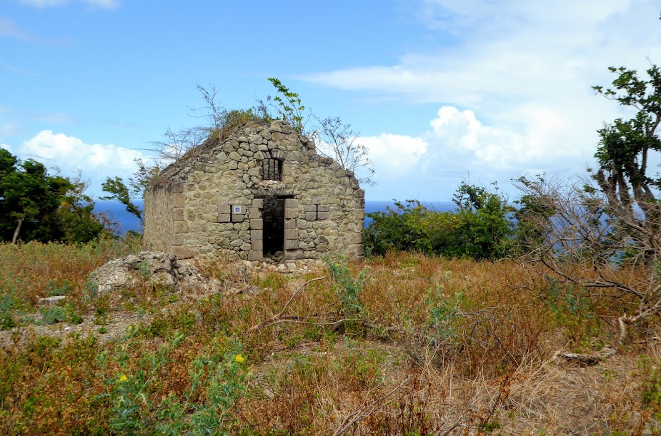
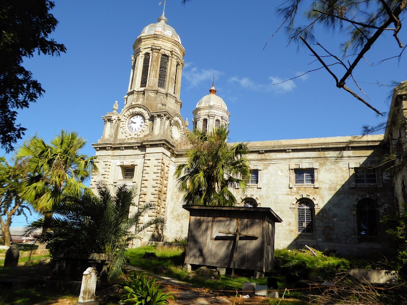
I meandered the main street, past a beautiful church sat in the center of town, one of the few buildings that didn’t look exactly like the others, but surely used approved colors.
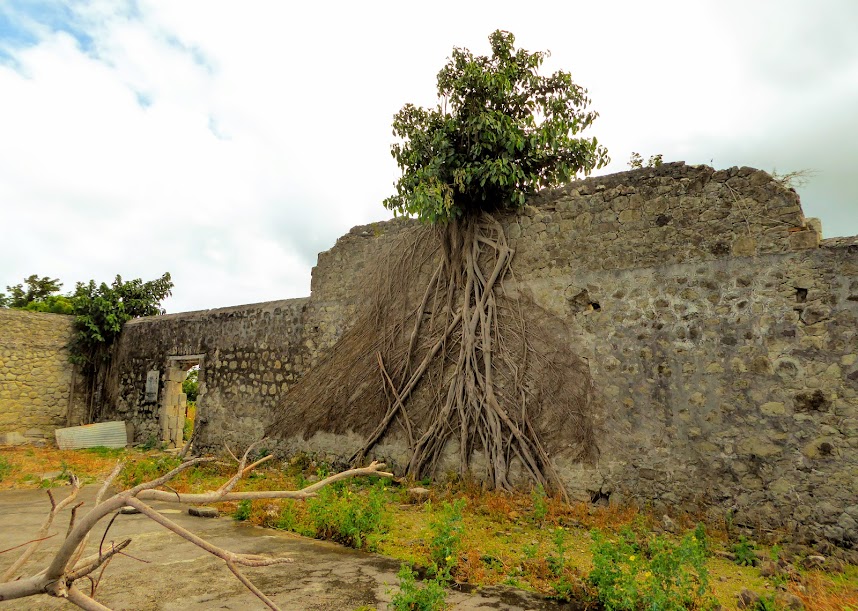
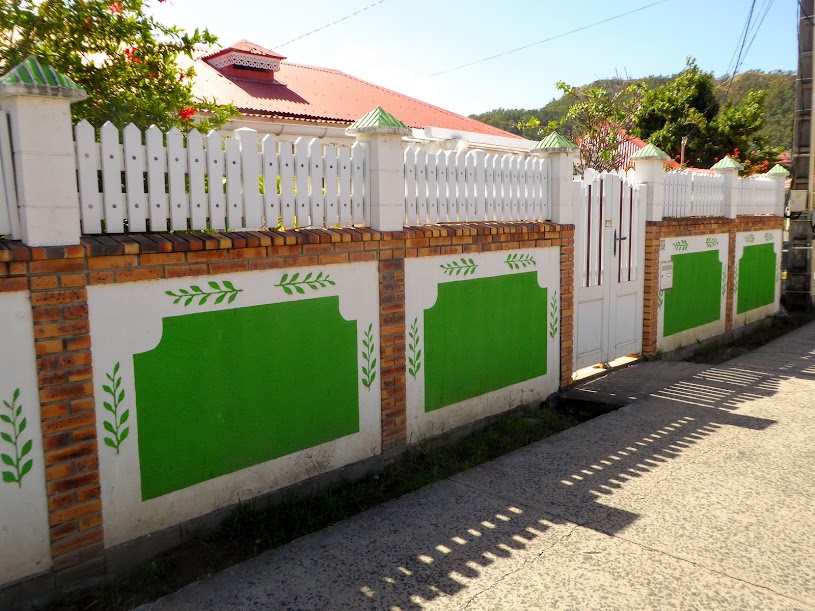
Stone walls lined most all the streets throughout town, and up into the hills, hand-made (like everything on Saba) from volcanic rock.
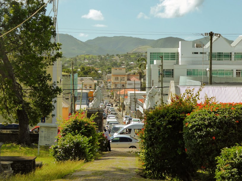
I continued to wander the streets, taking in the sights and admiring this unique and picturesque town.
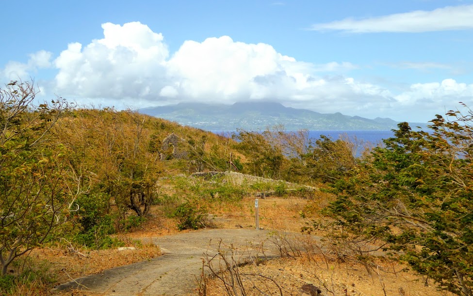
And of course….the views!
As I walked, Mount Scenery was always visible in the distance, where Scott was making his ascent.
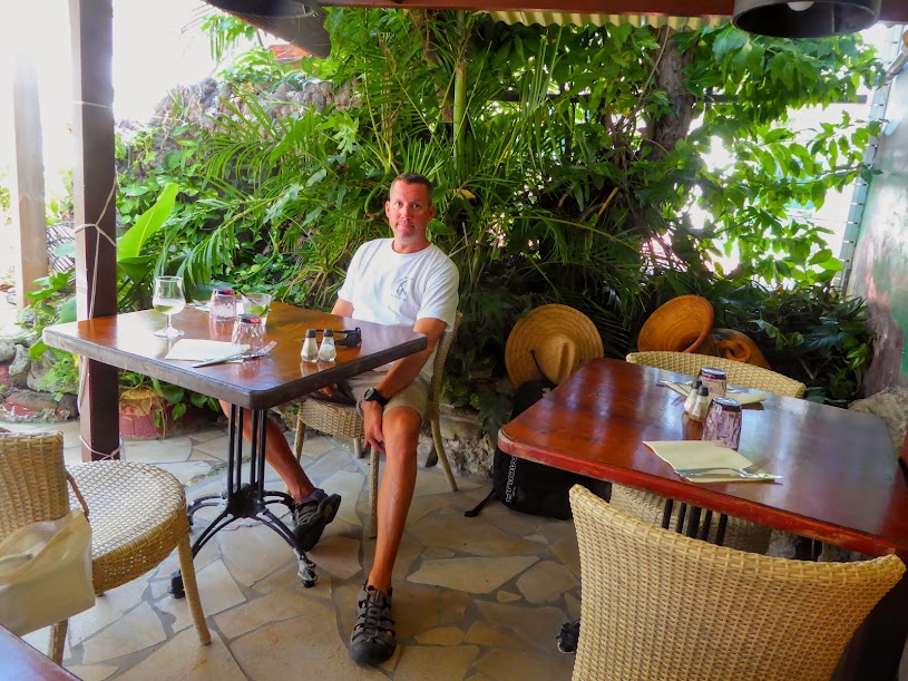
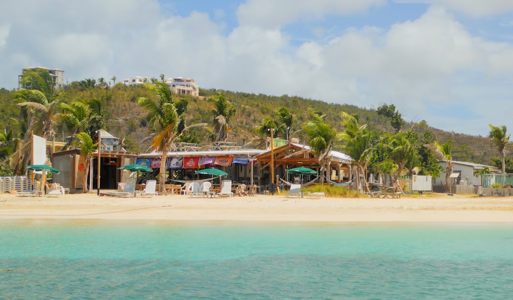
Tuckered out from my tour of town, and beyond, I settled in at a table outside the Bizzy B Bakery & Cafe. I ordered a beer, checked the internet and waited for Scott to show.
He soon appeared, soaked in sweat, but happy with himself. We traded stories of our day over another cold beer, and then went to grab a few groceries before Dawn arrived to take us back down to the bay. We would loved to have stayed into the evening, and spent time at some of the bars and restaurants in town, but weren’t keen on taking the dinghy around the island in the dark, so back down the mountain we went.
Instead of heading right back down to the bay, Dawn drove us to the west side of the island, where we had a good view of the airport below.
In 1963, Saba residents built the Juancho E. Yrausquin Airport (that’s a mouthful). The runway is challenging 1300 feet in length, with the span of actual “usable” runway between the white lines measuring just under 1000 feet! It’s reputed to be the shortest commercial air strip in the world, and to put it in perspective, that’s just over a tenth of the size of London’s Heathrow Airport!!
Obviously, due to its size, the airport can only accommodate small planes and helicopters. Officially, the runway is permanently closed to all air traffic, designated by an “X” on each end. However, aircraft are permitted to land on Saba by obtaining waivers from the Netherlands Antilles’ Civil Aviation Authority. Here are more good online photos of this tiny runway, from a crazy person who flew in.
Depending on wind conditions, it is possible to land on both ends of the runway. Incoming pilots have to navigate over steep hills before coming to a stop on the short runway, to avoid a sheer drop into the ocean on the other end; passengers get more of a sense of landing on an aircraft carrier rather than on an island. Yeesh, looking down at that tiny airstrip made me glad to have arrived by boat!
The views were just as amazing on our way back down to sea level as they were on our ascent to Windwardside.
And The Road was just as twisting-turning.
We said goodbye to Dawn, had a beer at one of the dive shops along the bay, then hopped into the dinghy.
Back on board, we collapsed in the saloon, having seen and learned a lot in our single day ashore. We’d come to Saba for Scott to hike it’s highest peak, and my plan was to “kill time” while he did. I didn’t expect to love the island’s soaring views, and the lovely village of Windwardside as much as I did. We’d taken in much of the island’s beauty during our short, two-day stay, and the rugged but beautiful island of Saba had definitely been worth the roll.
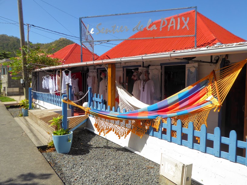
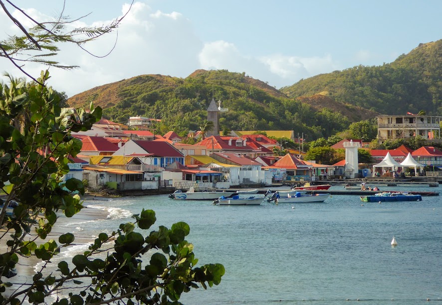
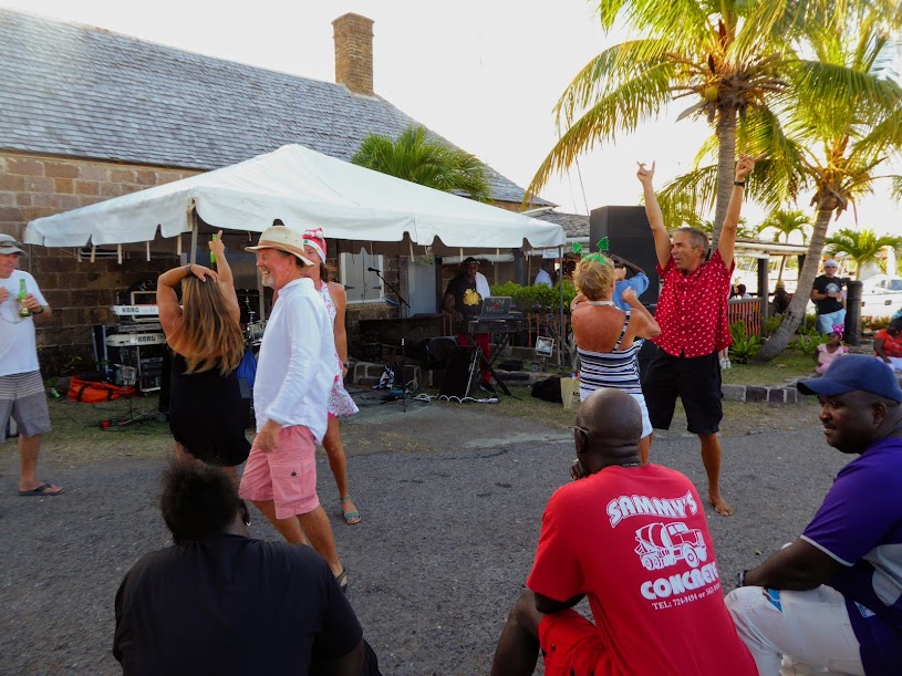
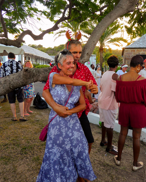
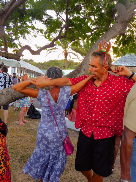
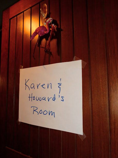
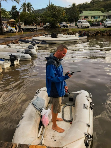
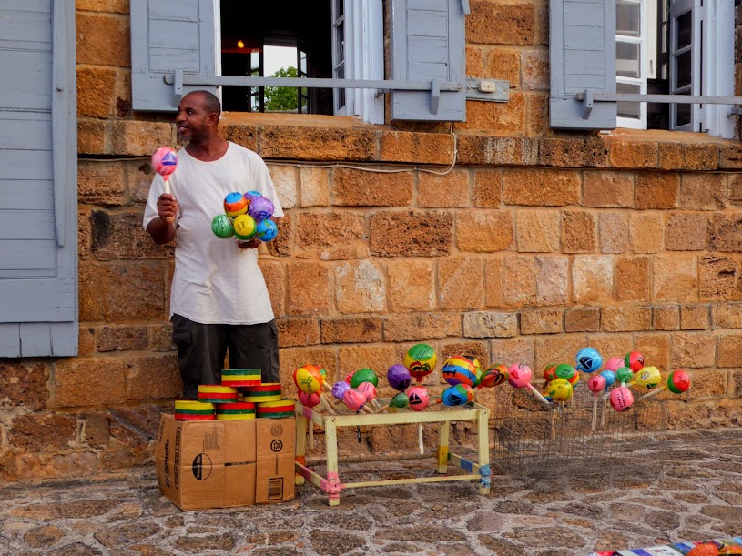
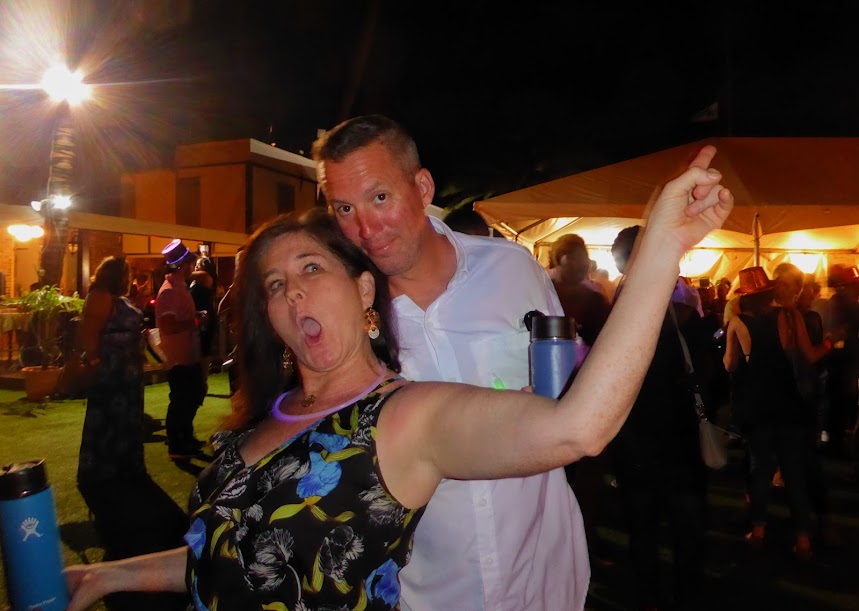
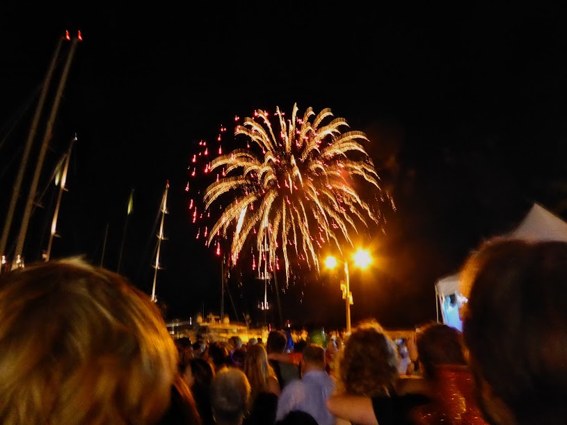
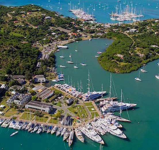
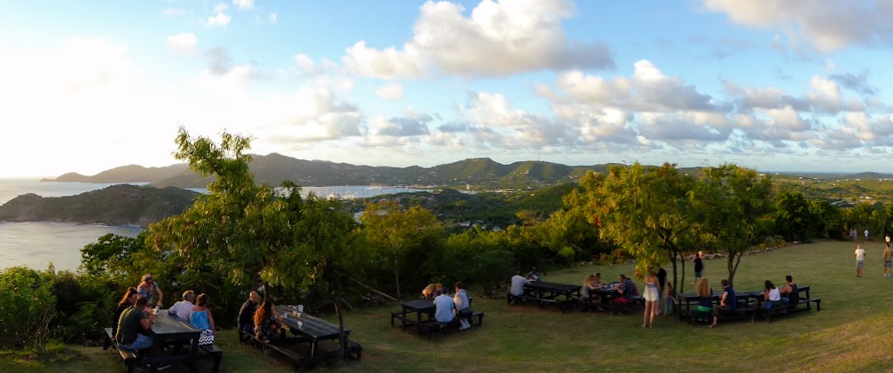
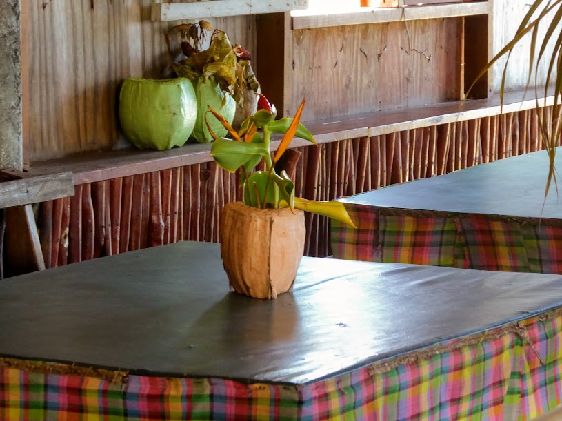
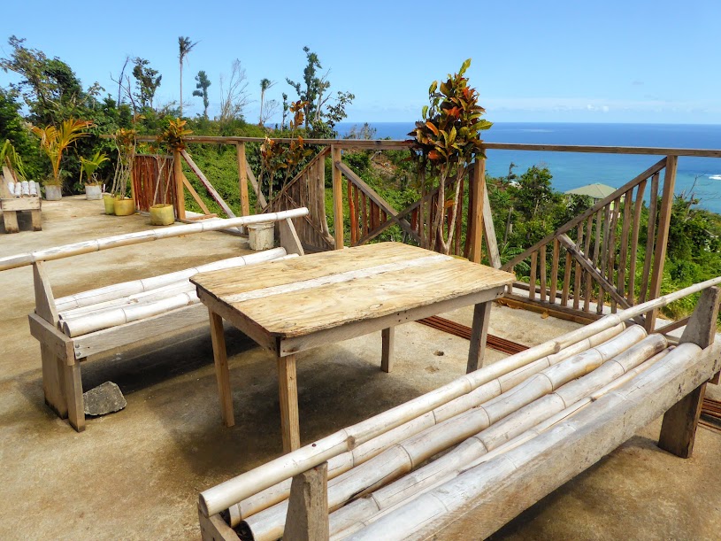
Here are more photos, from our visit to Saba.
“Shells Sink, Dreams Float. Life’s Good On Our Boat!”
A Little Piece Of Home On Anguilla
After passing The Kingdom of Redonda, we continued overnight, toward Anguilla. I went down for a short sleep before my night watch, and of course, missed another whale sighting..dammit!!
By dark, Howard was through with travel, and restless.
Giving up on sleep, he decided to check the radar, and help Scott keep watch.
Night watch soon became tiring, as it always does, and Howard settled back into his usual passage routine.
I relieved Scott at 9pm, and stayed on until just before dawn. During my early morning nap, the skyline of Sint Maarten came into view. We’d heard from friends that this Dutch side of the popular island had rebounded much better after Hurricane Irma than the French side, referred to as St. Martin.
Even before its extensive damage from Hurricane Irma, we’d decided to skip St. Martin/St. Maarten. The island is popular with both cruising and charter boats, as well as tourists, and we didn’t want to deal with the crowded anchorages and busy streets. Our cruising time frame doesn’t allow for us to visit every Caribbean island, so some get dropped from the list, and this one just didn’t interest us.
I awoke to find us making our way along Anguilla’s rocky coast, where many huge, high-dollar houses lined the hills.
In the Eastern Caribbean chain, or the Lesser Antilles, there are two types of islands. Both are volcanic, but the “younger” islands, like Dominica and Grenada, are mountainous and steep, while “older” ones, which were once like the younger ones, have eroded over time. These older, eroded islands became nearly flat, sinking below sea level, where they acquired limestone capping, before being uplifted and resurfacing.
Saint Martin, St. Barths and Anguilla are the older type, and are much more arid than their younger “cousins.” The shallow water surrounding these islands allowed for the growth of coral and shells, which over millions of years have become long, white, sandy beaches….huh!
Christopher Columbus named Anguilla after the Spanish word for eel, due to the shallow island’s low shape on the water. Today, the island is British, though self-governing, and is one of the most expensive in the Caribbean. In addition to pricey restaurants and shops, Anguilla’s cruising fees can add up quickly. Clearing into the island in general is fairly cheap, at approximately $50 U.S. dollars for us. Anchoring overnight is allowed in Road Bay and Crocus Bay. All other anchorages are for day-use only. To visit any anchorage other than Road Bay, day or overnight, a cruising permit is required…and it ain’t cheap.
Sea Life fell in the over 20 ton range for a cruising permint, at a fee of $150.00 a day, and $900 a week! As a result Anguilla isn’t a popular stop for most cruisers. The good news? Anguilla isn’t a popular stop for most cruisers, and the anchorages are generally quiet.
Elvis’ Beach Bar is located on Anguilla, and one of the owners, Brett Fetterolf, and I went to the same high school, so the island had been on my radar since the beginning of our journey as a must-stop. Like most cruisers, our budget didn’t allow for Anguilla’s steep cruising fees, but lucky for us, Elvis’ is located on the beach in Sandy Ground…along free-to-stay, Road Bay!
We dropped anchor in the bay, with Elvis’ in sight at one end of the long beach at Sandy Ground (Aerial online photo).
It was mid-afternoon, and we were beat, so I left Brett a message that we had arrived, and would see him the following day. After a relaxing evening and a good night’s sleep, we did some boat chores during the day, and then headed in to Elvis’ for happy hour. It was fun to spend time with Brett, and see the bar he and his friend Elvis had built. It’s always good to be with “home folk,” as my mom would say.
After happy hour drinks, and dinner at Elvis’ (Man, it had been a long time since we’d had Mexican food..yay!) , we headed back to the boat to give Howard some fish light time. An insane amount of sizeable tarpon showed up, their eyes glowing creepy orange in the light..ick.
The next day, we decided to head over to Rendezvous Bay, on the south side of the island, and do a beach bar crawl. We landed the dinghy at Elvis’, and asked Brett about getting a cab. He warned us that a cab would most likely run close to $30 each way…welcome to Anguilla. As we mulled it over, a friendly expat who was waiting for take out food offered us a ride, saving us a one-way cab fare! We immediately took Jim up on the incredibly kind offer, climbed into his car and headed across the island.
Along the way, we chatted with Jim, who was deep in the process of fixing damage to his house caused by Hurricane Irma. He was nice enough to stop at the local Ace Hardware, so Scott could look for a part. With no luck, we were back on the road, and soon arrived at Rendezvous Bay. Thanks a bunch, Jim!
Jim dropped us at the Sunshine Shack, where we planned to have lunch and then walk the beach. The open-air, beachfront restaurant had recently re-opened after Irma’s damage, and sported fresh paint in bright, happy colors.
Eating lunch with our toes in the sand, we couldn’t believe how beautiful the beach was. It was a gorgeous day, and the colorful beach umbrellas popped against the clear-blue sky. The bright-white, powder-soft sand made the turquoise water seem even more brilliant in color. It was definitely one of the prettiest beaches we’d seen in the Caribbean.
We walked the beach, realizing that this area of the island was still visibly recovering from Hurricane Irma, and most of the beach bars we planned to visit were closed. Like Dominica with Maria, Anguilla received a direct hit from Hurricane Irma in September, ravaging the island. With help from the British government, and other countries, the island had recovered well by the time we visited. Aside from the bars resorts and homes along Rendezvous Bay, we saw little damage during our visit, and visual reconstruction was minimal.
We were especially hoping to visit a bar run by local reggae singer Bankie Banx , known as the “Anguillan Bob Dylan.” He formed his first band in 1967, taking inspiration from top 40 hits in the UK, that a local radio station transmitted from a frigate ship moored off the coast of Anguilla. Bankie released his first album, Roots and Herbs in 1978, pioneering reggae music in the Eastern Caribbean.
We hoped that Bankie’s beach bar, The Dune Preserve, had rebounded as well, but no luck. Like many Caribbean beach bars, The Dune was built from pieces of scrap wood, and an old boat for a bar. Ever growing, it spread from the beach up into the palms. The rustic bar was a staple on the beach at Rendezvous Bay, and we so wanted to spend time there.
Sadly, all that remained of the bar was a partial wooden structure. We could hear the sound of chain saws running in the palms, and knew that there was no chance of reggae music and a cold beer.
Bankie has been hard at work, and as of this spring, The Dune is beginning to take shape again. A new bar is in the works, with the addition of a full-service bar, and a re-opening is planned for November of 2018. I guess we’ll have to return!
We turned to head back down the beach, passing the five-star CuisinArt Golf Resort & Spa, which had temporarily closed due to significant hurricane damage to its grounds, and 98 luxury suites. Tidbit: Dan Brown, who wrote The Davinci Code, spends winters at the resort….but not this winter.
Back at the Sunshine Shack, the owner called us a cab, that took thirty minutes to arrive. The island’s not that big, so the wait was a bit frustrating, but we had a beer and took in the view of nearby St. Martin on the horizon.
Back at Sandy Ground, we walked down to the far end of the beach, past many bars and restaurants, most closed until dinnertime. Roy’s Bayside Grill was open, so we stopped in for some shade and a drink.
Our friendly bartender had visited much of the U.S., seeing many more states than we have!
The next evening, Scott picked Brett up in the dinghy, and brought him aboard for a tour of Sea Life and some happy hour drinks.
After chatting away for several hours, we headed back to shore and had a drink at Elvis’, before Scott and I walked down the beach for dinner at Sandbar. Our tapas meal was soo good, Like our meal at Elvis’, it was a nice change from the island-food choices we’d had of late: barbecue chicken, fried chicken, or fried fish. I was without a camera at dinner, but here’s a photo of Sandbar during the day, and an evening shot I borrowed online.
Anguilla would be the last island where we’d use the Eastern Caribbean dollar, but we still had a decent amount of it left on board. Brett graciously offered to exchange it for USD, so we headed to Elvis’s to do some “banking,” and I took the chance to snap some photos of the bar.
Brett arrived on Anguilla via Eldersburg, Maryland; Breckenridge, Colorado; Catalina Island, California; and St. Croix, U.S.V.I. (where he also owned a restaurant). He landed on the island, and soon realized he wanted to put down roots. After seeing an old boat on the side of a road, Brett and his friend, Elvis, hatched a plan to open a beach bar.
Elvis’ has grown from just a boat bar, serving beer from a cooler, to one of Anguilla’s hottest spots, popular with both tourists and locals. There are televisions throughout the bar, as well as a big screen right on the beach, so sports fans can settle in with their toes in the sand, and live music brings in a nightly crowd ready to dance.
Whether you choose to belly-up to the boat bar, sit at a table with your toes in the sand, lounge under an umbrella by the water or swing in a hammock, Elvis’ has it covered.
Brett’s commute to work is brutal….all of thirty steps. His tiny house sits just behind the bar!
When Hurricane Irma hit the island, Brett weathered the storm in a friend’s house with a higher elevation than his at-sea-level bungalow. Luckily, Brett had stored the boat bar in a container, and with donations from loyal customers, the bar is back up and running, better than ever. Elvis, Brett and his sand-digging, coconut-lovin’ dog Blu are back to providing visitors with the quintessential beach bar experience. (was so busy chatting and spending time with Brett, that I forgot a photo of Elvis! I included one from Brett’s Facebook page, and one of him in action, that I found online.)
The Travel Channel got wind of Elvis’, and recently featured Brett’s story, and the bar, on an episode of “Life’s A Beach.” It’s a great piece, with a cool story and beautiful scenery…check it out here! Ok, enough about my island-beach bar-owning friend (for now).
The next day, Scott and I were back on the water, taking the dinghy over to a beach at nearby Little Bay. Not far from our anchorage at Road Bay, we passed a resort nestled in the hills, with rows of white rooms and villas, surrounded by colorful, tropical foliage, that cascaded down to the water.
Houses of all sizes dotted the rocky cliffs.
Many had built stairs stretching down to the water, but one house in particular had quite the set up, with multiple small decks along the way down, maybe for a rest and a scenic view. At the bottom, a large, multi-level deck, just begging for a party.
We rounded the corner, and were met with an awesome view of the seventy-foot cliffs that surround Little Bay, and some swanky villas with amazing views.
Shades of black, gray, orange and white melded together on the rugged cliffs, highlighted by scraggly shrubs and several types of cacti.
The textured surface was full of holes, large crevices, and caves of all sizes at the waterline. And speaking of the water, it was a gorgeous, bright, turquoise-blue, that seemed even more brilliant in color against the cliffs.
The beach at Little Bay was “little” as well, but there was more than enough room for us to pull the dinghy up out of the water, and spread out a towel. Scott went for a snorkel, while I relaxed in the sand, and took in the view.
Before long, it was time to head back to Road Bay. It was our last day on Anguilla, so we wanted to visit Brett one more time. We set the dinghy afloat, climbed in and said goodbye to our little beach, and those beautiful cliffs at Little Bay.
All roads lead to Elvis’ on Anguilla, and we were back for a final happy hour. We met this awesome girl, who is also from Maryland, and was on the island attending medical school. It seems every Eastern Caribbean island has a bloody medical school, but why not?…who doesn’t want to learn in the sun?
It had been great to spend time with someone from home, and to see Elvis’ in person, but it was time for us to move on while the winds were in our favor. Ladies and gentlemen…..Sea Life has left the building (or should I say the island).
Here are some more photos from our visit to Anguilla.
“Shells Sink, Dreams Float. Life’s Good On Our Boat!”
Touring Dominica
Despite the hurricane damage, we were still eager to tour Dominica, and set up a day-long island tour through Eddison. We arrived at the PAYS pavilion, where a van was ready and waiting. Peter and Nicki, a Swiss couple who were also moored in the anchorage, joined us for the day.
Just outside of town we saw piles of lumber, waiting for use in various reconstruction projects, and our first up close views of Dominica’s stripped landscape.
Ascending the hills, we saw many roof tarps, and houses still damaged in every direction, including one man who had set up house in a tent (I snapped photos like mad through the window of the van, so apologies for the occasional blur and reflection).
Our guide drove us down to a local fishing pier, where we stopped to snap photos and chat with some locals. They tried to coax Scott into staying for a beer at one of the small bars onsite, but he managed to hold firm and climb back into the van.
And who wouldn’t want to ride in this snazzy van?!
Our next top was the local chocolate factory, always a hit in my book. Unfortunately, they were still repairing damage from the storm, and weren’t yet open for tours. Luckily, we were invited in to purchase chocolate bars…so our stop wasn’t a total loss!
Leaving the factory with a chocolate fix, we traveled a bit further, before pulling off to the side of the road in a quite random location. A barefoot man with long dreadlocks approached the car, and we were told he’d be our guide to Red Rocks. O…kaaay. Like sheep, the four of us hopped out of the van, and followed Danny into the trees.
He was concerned about our footwear, and suggested that we go barefoot instead. We all chose to continue on with our shoes, and before we’d gone two steps, both men slipped almost immediately on the slick. soupy mud. Scott caught himself, but poor Peter ended up with mud covering his entire back.
After several more minutes of trekking gingerly along the mucky trail, we came out of the trees, and into this!…
This area of Dominica’s shoreline is referred to as Red Rocks. It’s like nothing we’ve seen anywhere in our travels, and I’m guessing it’s the only area like it in the Caribbean. The red, compacted mud appeared Mars-like (or what I imagine Mars is like), and we just wandered the rust-colored, mounded surface…taking it in.
Danny guided us down a slope, and into a small ravine. He showed us a small cave, which Scott immediately crawled into.
He also managed to squeeze himself into this crevasse.
We walked over to the north edge of the Red Rocks area, with views of Calibishie in the distance, before heading into the woods and back to the van.
Danny insisted on rinsing our shoes using a nearby water spigot, as they were completely caked in mud, and then we were off on our way in the van.
Our guide drove us along the western coast, where the beaches were lined with much storm debris. The van climbed up, up, up into the mountains, and as the steep winding road came to it’s highest point, and dropped off in front of us, I couldn’t look out the window. Scott took over photo duty, standing out of the large sun roof above the van’s passenger seats for a better view.
We were headed to the Carib Territory. Since signing a treaty with the Europeans, descendants of the original Carib Indians live on Dominica’s windward coast. The Caribs are lighter skinned than native Dominicans, with Asian features. They still build dugout canoes, and sell baskets and other crafts to tourists. We’d hoped to visit their museum, but it had been destroyed by Maria.
The road leading to the Carib Territory was in terrible shape after Maria’s flooding rains. So badly so, that the van got stuck in a mud rut along the way, and we all had to jump out and push!! Luckily, our efforts worked, and the van was able to get past the beat up section of road.
At the territory’s highest point, we stopped to buy some trinkets from two Carib women, who had tables full of handmade items for sale alongside the road. These ladies definitely had an office with a view.
Next, a stop for lunch, which was great timing, as we were all starved. The Islet View Restaurant was classic tiki/tropical, with amazing views.
And, a friendly greeter…
“Bush Rum” is very popular on Dominica. All combinations of herbs, plants and spices are added to rum for infused flavor. This homemade island libation comes in bottles of all shapes and sizes, and Scott enjoyed sampling the many different flavors during our visit. The Islet view had quite an extensive selection, making it hard for him to choose (although he tried more than one flavor on several occasions)!
Our lunch options were the typical local offerings of barbecue chicken, stewed chicken, or salted fish. I decided to finally try salted fish, and was not disappointed. All of our meals were delicious, but our hands-down favorite was an amazingly yummy sauce that the owner/chef made to go with our fried plantain chips (Sorry, but I rarely take photos of food, as I’m too busy shoving it into my face)!!
The four of us lingered for another cold beer after lunch, enjoying our surroundings, before boarding the van to continue on. As we came outside, the owner was purchasing fresh vegetables from a local truck.
With full bellies, our next stop would be a short walk to a waterfall. The drive through this area of the island was noticeably gray, and the trees much more visibly stripped.
Before Maria, the view may have looked something like this..
What we saw after the storm…
Our guide let us off alongside the road, where we followed an easy path to the waterfall. We walked past massive trees that had been completely uprooted, others that had been snapped off, and soaring knobby timbers that used to be coconut palms.
Even though the way had been recently cleared, we still had to side-step piles of debris, and climb over downed trees. It was a strange mix of destruction and lush, green regrowth.
A steep set of stairs lead down to the waterfall, which was just coming into view (Just for reference, the first photo is one I found online, pre-Maria).
The stairs led us past a beautiful “wet wall.” Moss, vines and various plants were constantly bathed in dripping water and mist, making for quite a cool “jungle” effect.
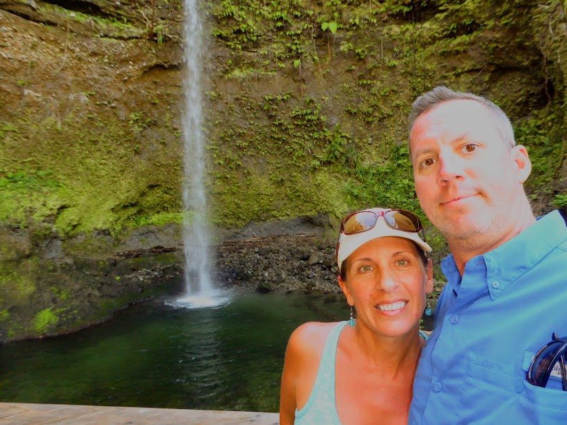
The four of us enjoyed the cool air coming from the falls. Our guide told us that before Maria, daylight was barely visible here, but we now stood in an area was awash in light. I’ve included another before-Maria photo.
It wasn’t the largest one in the world, but waterfalls are always cool.
Back in the van, we drove through areas that were much more green, as we made our way down to the island’s eastern coast. We passed an area where sand was being loaded onto trucks, for export to places like Florida (really….that’s a thing, exporting sand), and drove through several villages right down at sea level. Here, we saw houses, still abandoned, filled with sand.
Understandably, roads along the coast received significant damage from the storm. We came around a scary turn where half the road had slide away, leaving only one lane. As our van approached drop off, a truck coming the other way sped by us as if there was plenty of room, leaving himself only inches to spare. I was sure he’d slide down into the abyss, but he just sped on.
Just a bit further was evidence of how long storm recovery can take on an island. We detoured around a bridge that had been washed away by Tropical Storm Erika, in August of 2015, and had yet to be repaired.
We came into Portsmouth, passing Ross University, which offers both medical and veterinary schools of medicine. Since the hurricane, some students were currently living on a cruise ship docked in St. Kitts, and attending classes on board, while others had transferred to a temporary campus in Knoxville, Tennessee. At the time of our tour, the university hoped to have the campus open in March, for the 2018 spring semester, but we later learned that it was unlikely the university would be fully operational in Dominica before 2019.
The anchorage came into view as a full moon rose, and our long day was over.
Our guide presented both Niki and me with a colorful souvenir of our day, a beautiful bouquet of tropical flowers that he’d stopped along the road to cut for us. Sadly, I could only enjoy mine for a hour or so, before Howard found them and started munching, so overboard they went.
We’d gotten a great overview of the island, and seen both gorgeous and depressing sights. The forests of Dominica would take a dozen years to rebound from Maria’s beating, but luckily, our guide told us that most crops will produce next year. The island was truly beautiful, despite damage that was still very visible. I cannot imaging the lushness of Dominica before this powerful storm touched it. Maybe we’ll have to return in ten years or so…..
Here are many more photos of our island tour.
“Shells Sink, Dreams Float. Life’s Good On Our Boat!”
Dominica
After saying goodbye to our friends who’d headed off for southern destinations a day before us, we slipped the lines from our mooring ball, and cruised away from the Ile des Saintes to begin the short, six hour run to Dominica.
We’d hoped to visit the island last year, on our way south for hurricane season, but as time got short, Scott grew anxious to get settled in Grenada before the peak of the season. We passed by Dominica, planning to visit on our way north in 2018…..who knew Hurricane Maria would make a direct hit, and devastate the island.
Dominica is located midway along the Eastern Caribbean islands, just a few miles from Martinique to the south and Guadeloupe to the north. We were heading for Portsmouth, on the island’s northwest side.
The name Dominica is derived from the Latin word for “Sunday,” as Columbus is said to have passed the island on a Sunday in November of 1493. The island is sparsely populated compared to its size, with 70,000 people inhabiting the island’s 289 square miles, and a significant portion of that population lives in and around the capital city of Roseau.
Dominica is the youngest island in the Lesser Antillies, still being “formed” by extensive, geothermal-volcanic activity…even underwater. It is also home to the world’s second largest hot spring, Boiling Lake (we didn’t visit the lake, but I found some great photos online, from other bloggers, and on Wikipedia).
Known as “The Nature Island,”tropical rain forests cover two thirds of Dominica, and it is home to many rare species of plants, animals and birds, protected by an extensive natural park system (The Morne Trois Pitons National Park was the first UNESCO World Heritage Site in the eastern Caribbean). Rivers (365 of them), lakes, streams and waterfalls cover the island, fed by a high annual rainfall.
It is said that if Christopher Columbus came back to the Caribbean today, Dominica is the only island he would recognize. Unlike most all other Eastern Caribbean islands, Dominica has remained both commercially and residentially undeveloped, with only a few small hotels and inns. When trying to describe the mountains of Dominica to King Ferdinand and Queen Isabella of Spain, Columbus resorted to crumpling up a sheet of paper, in order to illustrate the dramatic form of the land, with it’s valleys, gorges and peaks. Sadly, the island’s appearance is much different now, after Hurricane Maria.
On the evening of Sept. 18, 2017, Hurricane Maria hit Dominica at full, category-five force, with 160 mph winds. The brutal storm damaged or destroyed roofs of 90 percent of buildings, toppled power lines, and sent some of the thickest, strongest and oldest trees in the forests smashing to the ground. Maria’s rains triggered landslides that turned the island’s 365 rivers into raging coils that washed away bridges and crops, and slashed deep cuts along what had been well-laid roads. The storm is now the island’s worst natural disaster on record.
Hurricane Maria was one of the fastest intensifying hurricanes ever recorded, blowing up from a tropical storm into a major Category 5 hurricane in barely more than a day. Dominica was this fierce storm’s first victim, and it’s clear from these before and after photos from Google Earth, that she showed no mercy, changing it’s hills and valleys from lush green to brown. When Maria hit the island, poor Dominica was still recovering from Tropical Storm Erika, which killed 30 people, destroyed more than 370 homes and caused extensive flooding in August of 2015.
I found some online images of Portsmouth, just days after Maria, and of relief supplied arriving from neighboring islands.
As we approached, Dominica appeared much greener than expected.
We made our way into the anchorage at Portsmouth, and hailed PAYS on the vhf. In the past, Dominica was far less safe for cruisers, with many reports of theft from boats at anchor. Realizing that this was affecting their livelihood, local tour guides formed the Portsmouth Association of Yacht Services, or PAYS, who run regular patrols in the anchorage at night, and since the association has been active, there have been no reports of trouble.
The men of PAYS have “interesting” names, such as Lawrence of Arabia Providence, Cobra, Spaghetti and Sea Bird, and usually have several boats working under their name (photos from other blogs) They come out to greet boaters entering the anchorage, and help them secure to mooring balls. We could have dropped anchor, but chose to take a ball, as the fee goes towards supporting PAYS. The guys also help set up island tours, dispose of trash and host a weekly Sunday barbecue that has become well known in the Eastern Caribbean.
Daniel, who is affiliated with Eddison, replied to our call and came out to the boat as we entered the bay. He told us that Eddison would meet us in the anchorage, and then headed out to fish. Eddison was ready and waiting, and waved us over to an open ball, helping us tie on.
We settled in to enjoy the evening. Scott and Howard (aka, Bartles and James) made themselves comfortable in the cockpit, and we watched one of the sailing cruise ships raise sails to head south, which was quite a sight.
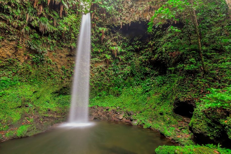
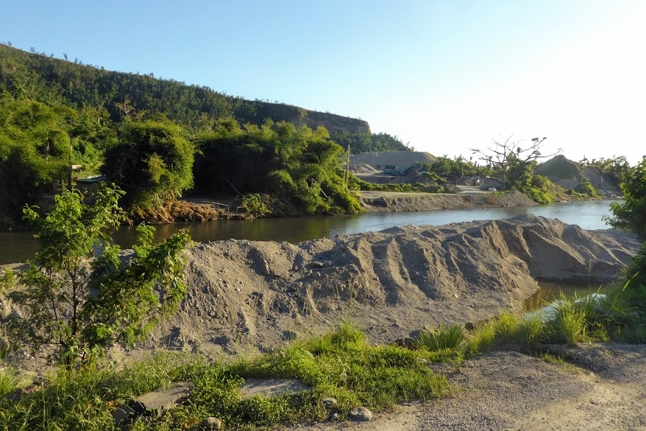
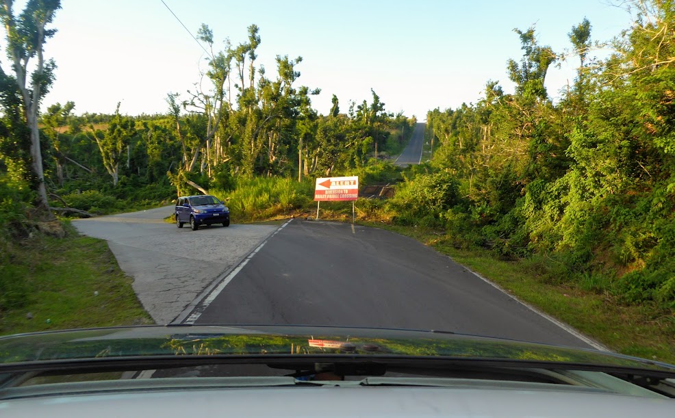
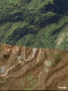
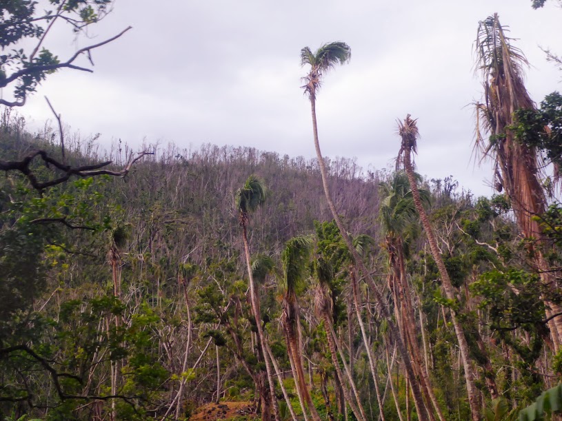
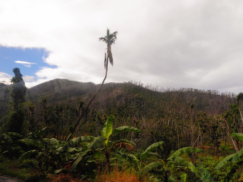
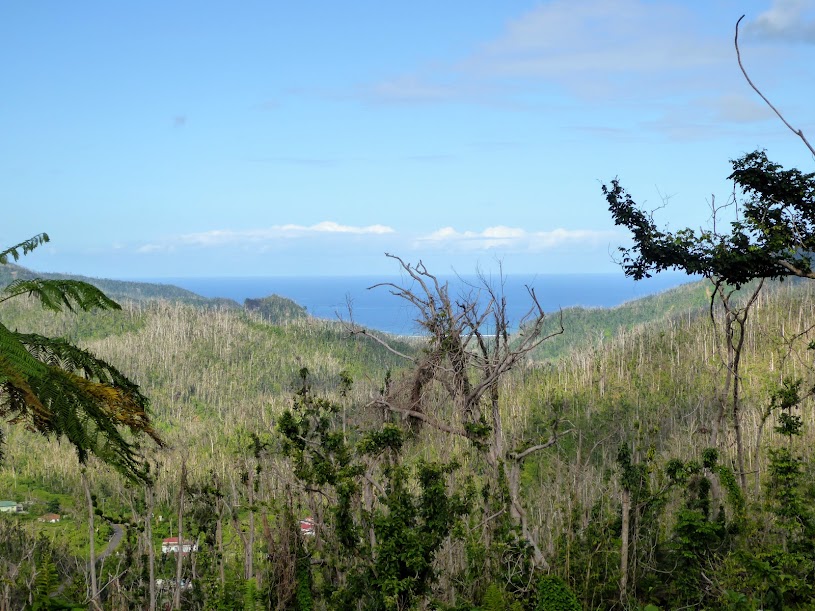
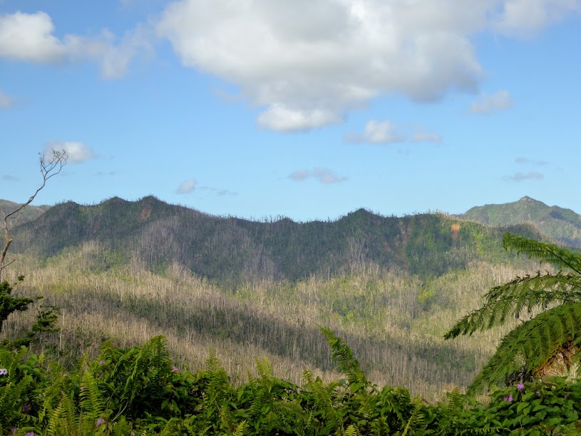
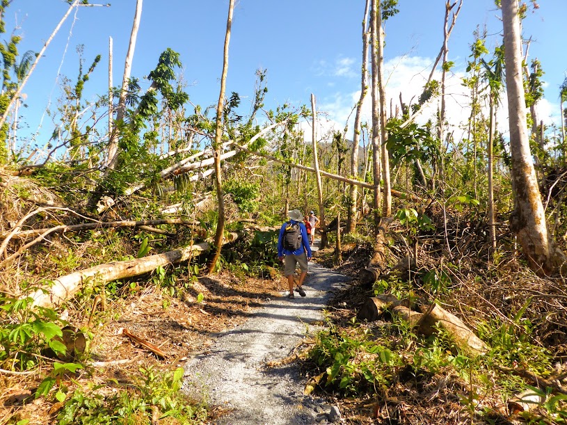
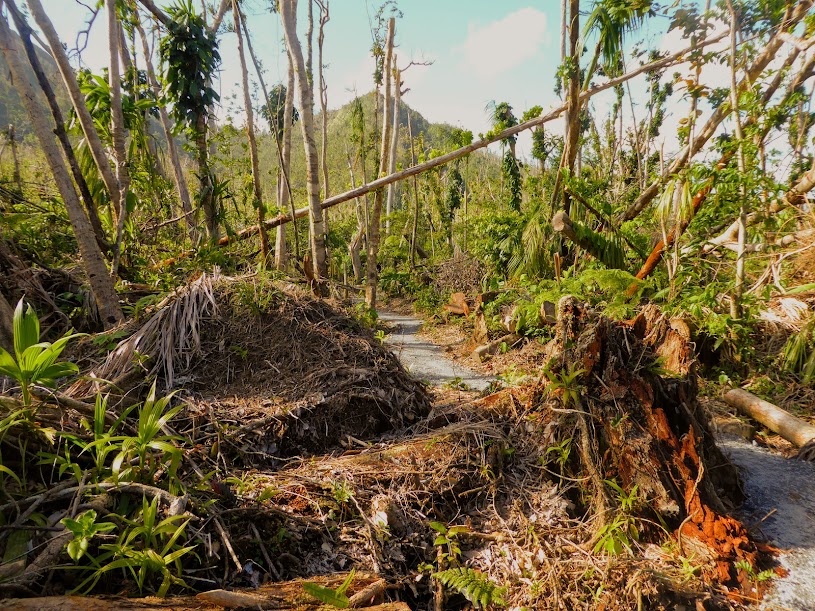
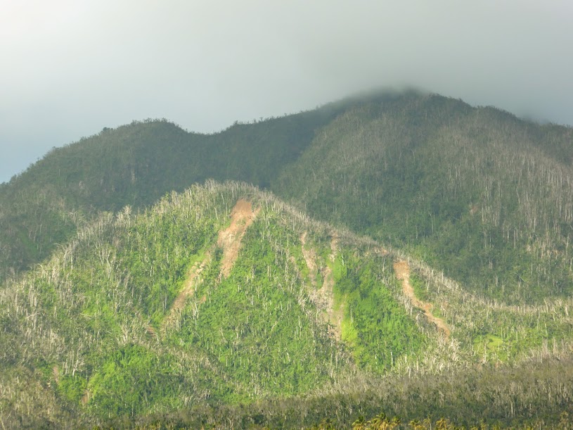
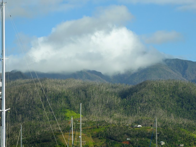
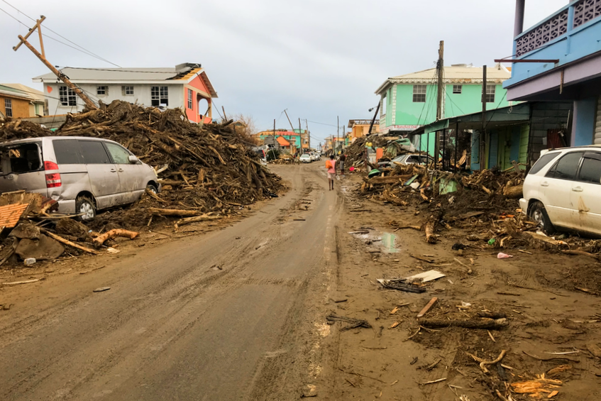
The next morning was a bit more clear, and we were able to get a better look at the hills surrounding the anchorage. Heartier, weedier foliage was definitely coming back green, much more than we would’ve expected, but the hills were “striped,” where swaths of trees had been stripped, and the many mud slides left their mark.
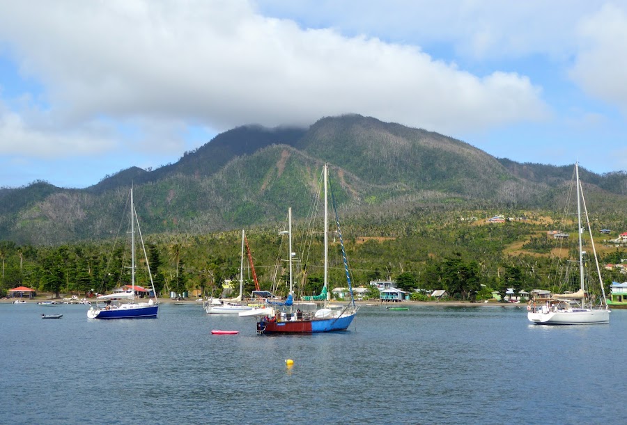
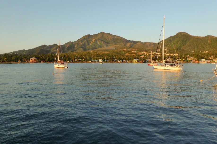
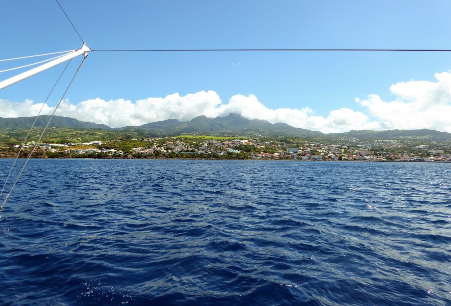
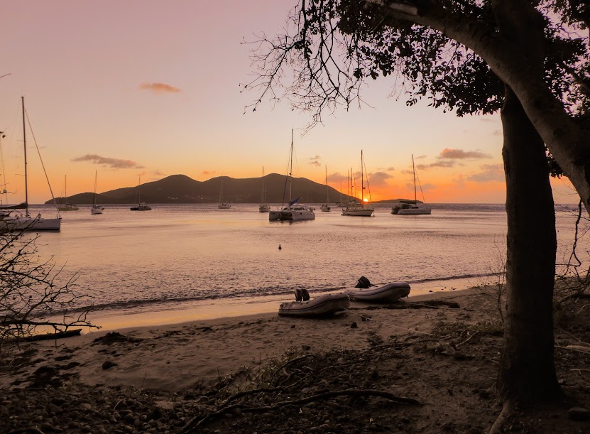
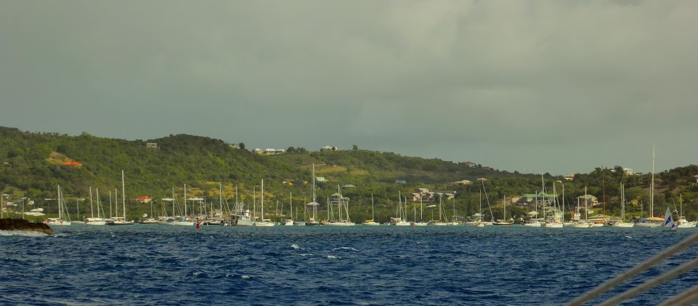
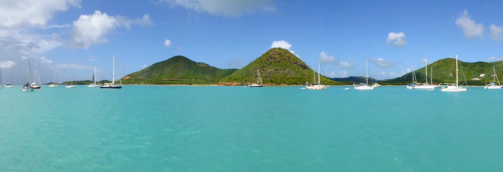
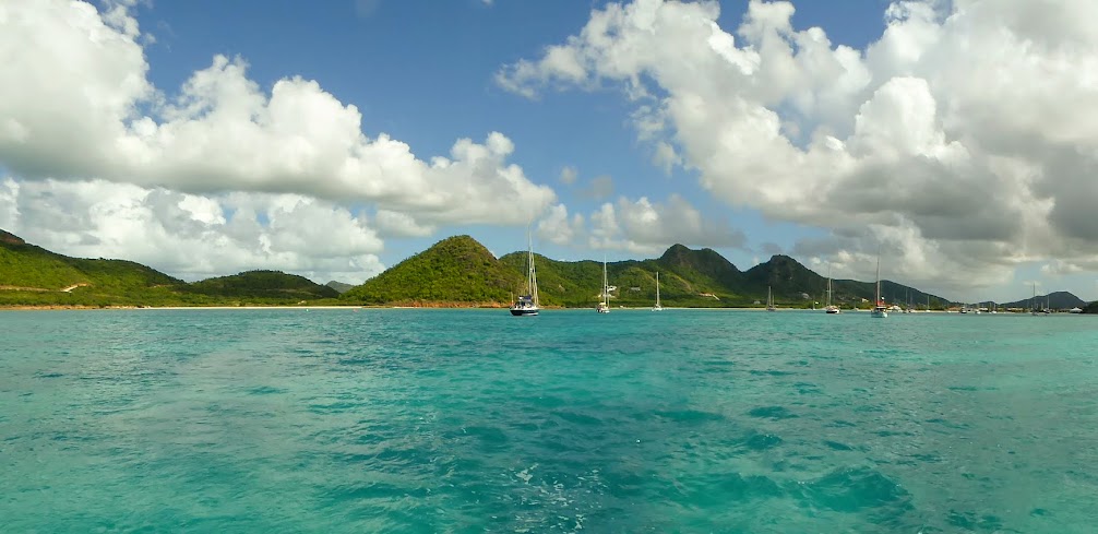
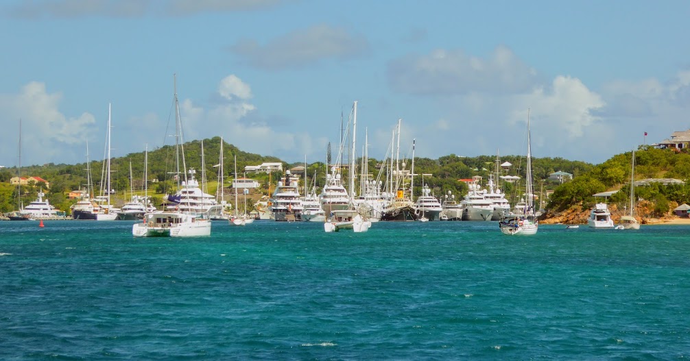
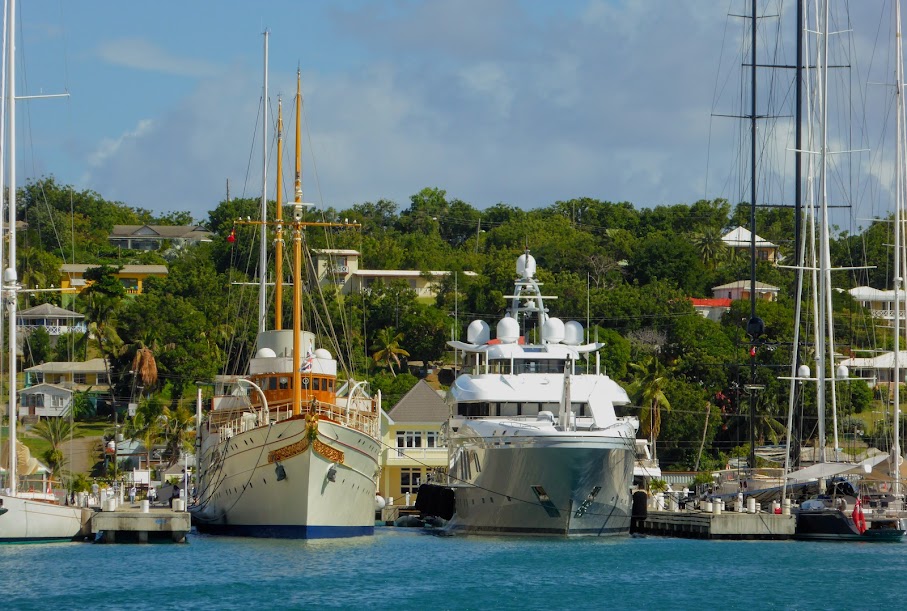
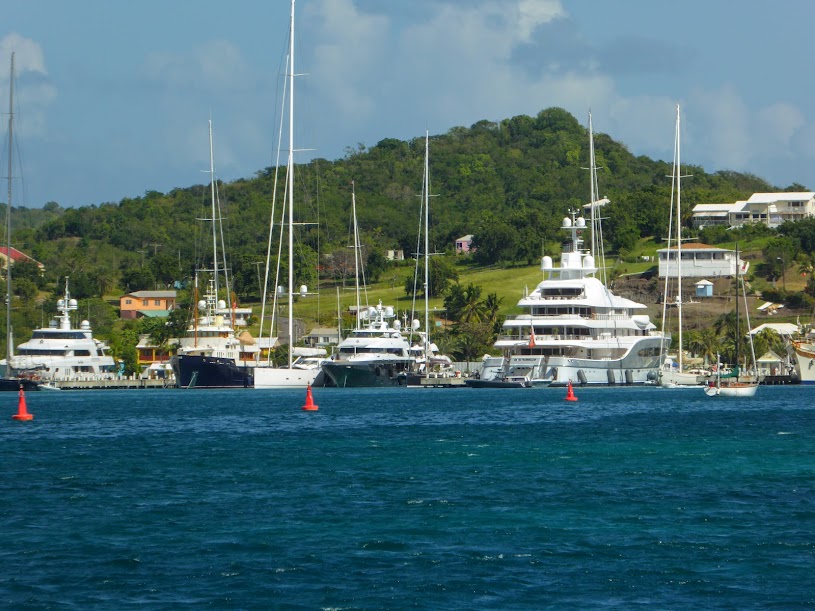
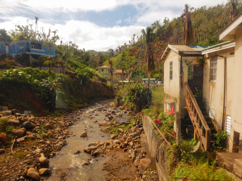
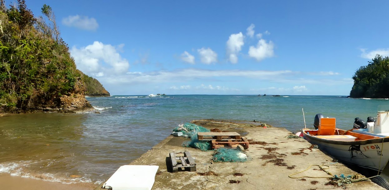
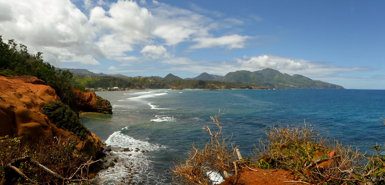
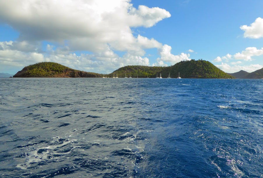
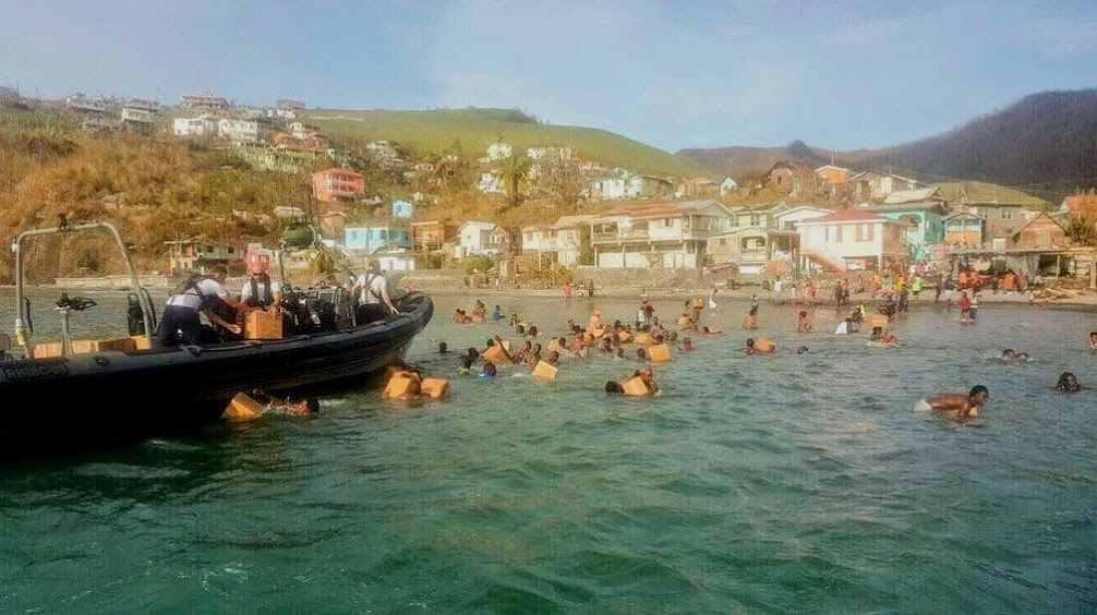
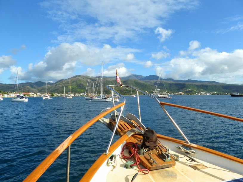
The harbor was still scenic, and we were pleased to see so many boats visiting, both at anchor and on mooring balls.
We made our way to the PAYS dock, that had recently been rebuilt, along with a new pavilion that’s used for Sunday barbecues.
From there, it was a short walk to town. The road was lined with homes and buildings covered in tarps, and others left with a foundation and some pieces of wall.
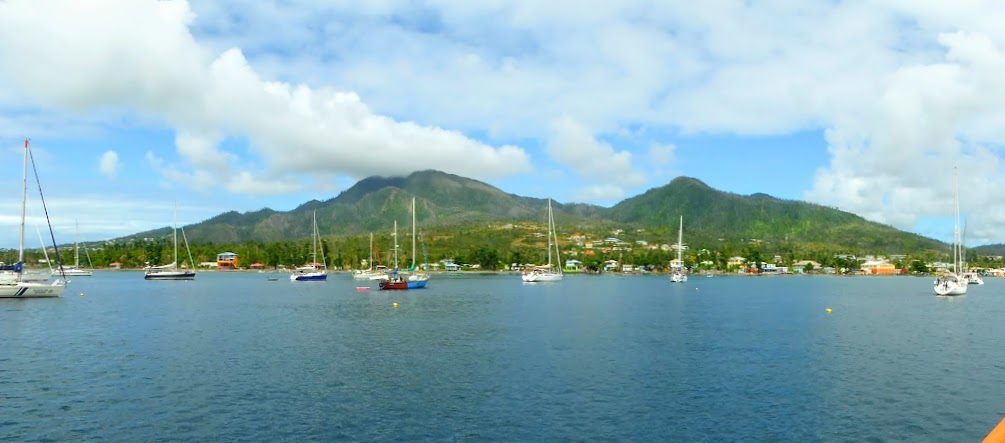
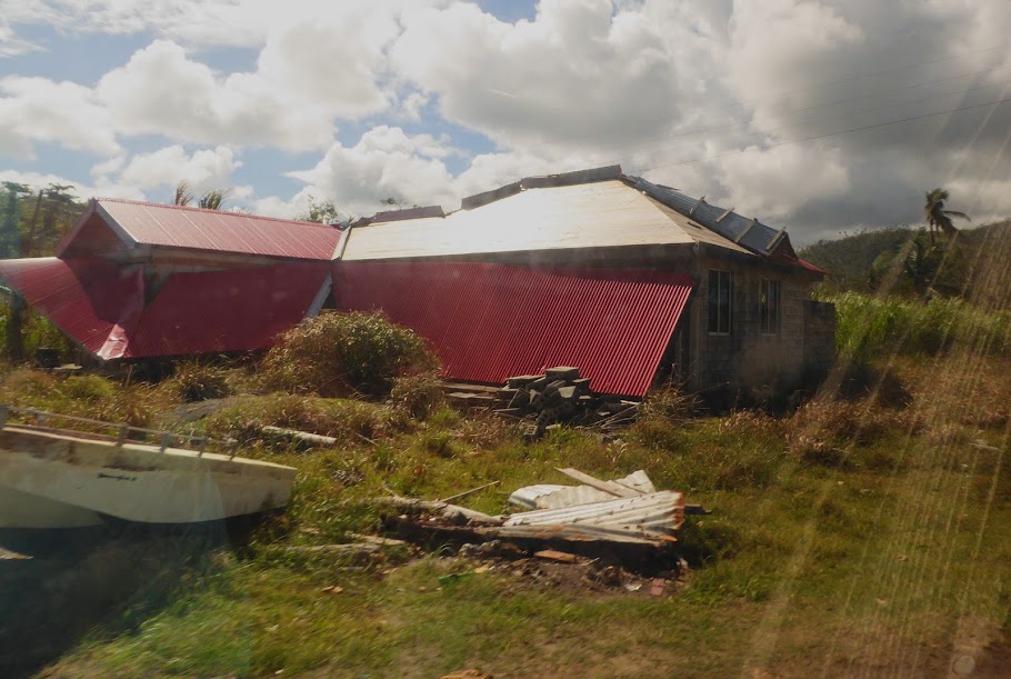
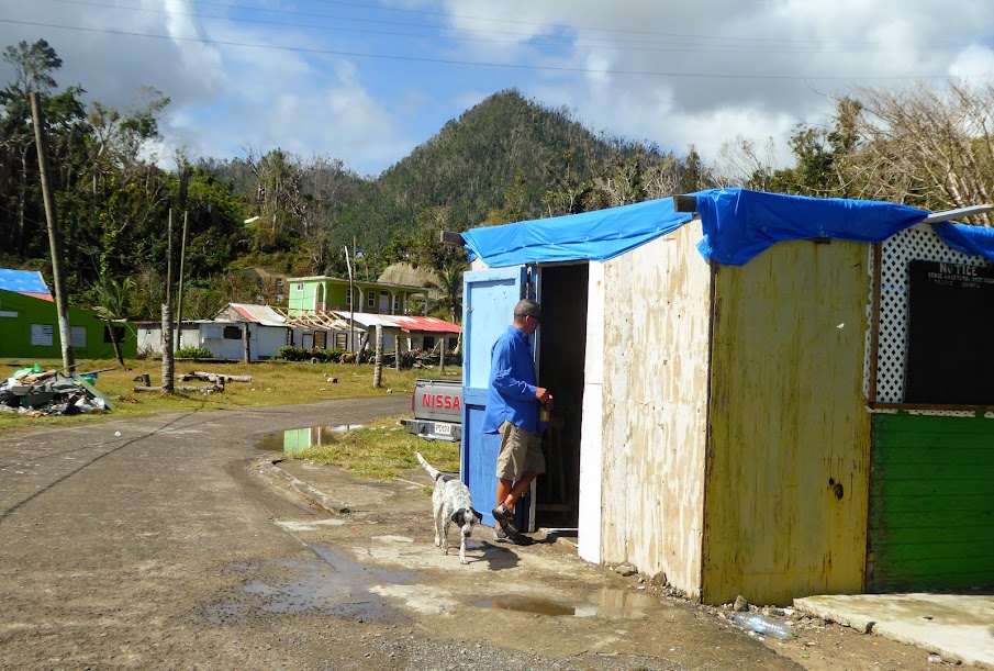
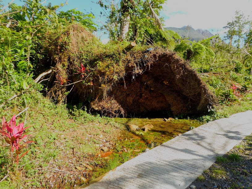
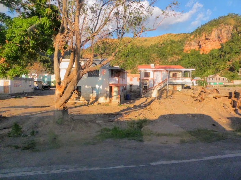
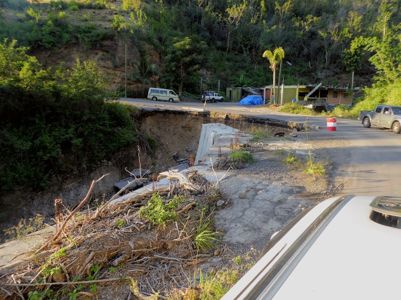
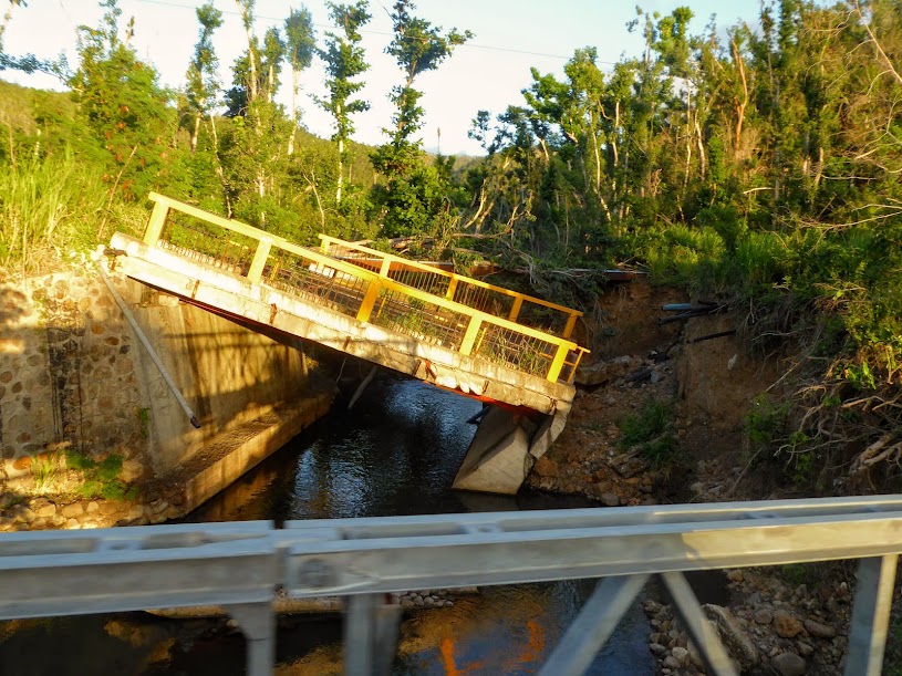
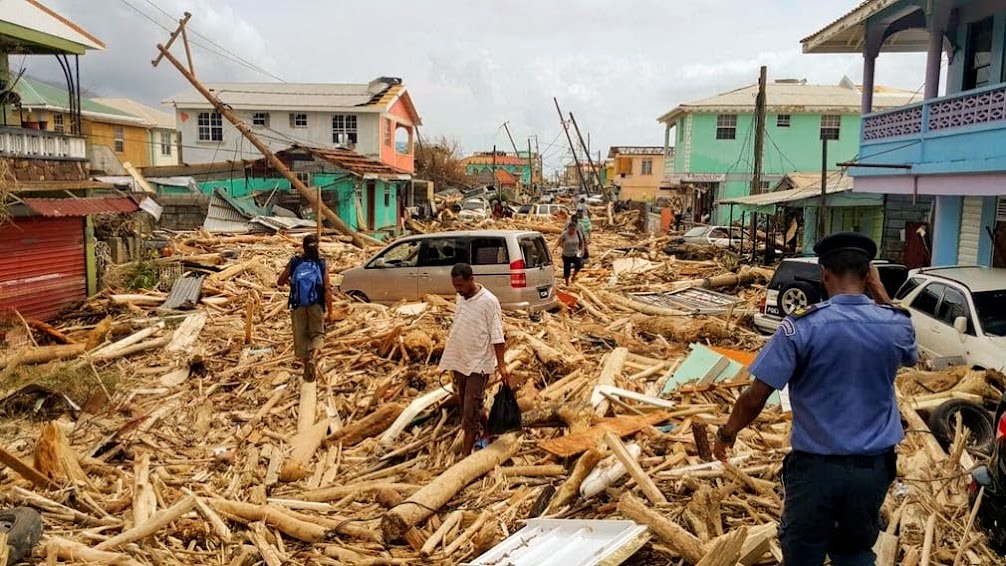
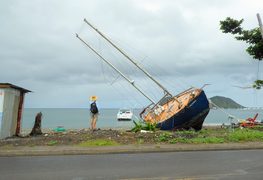
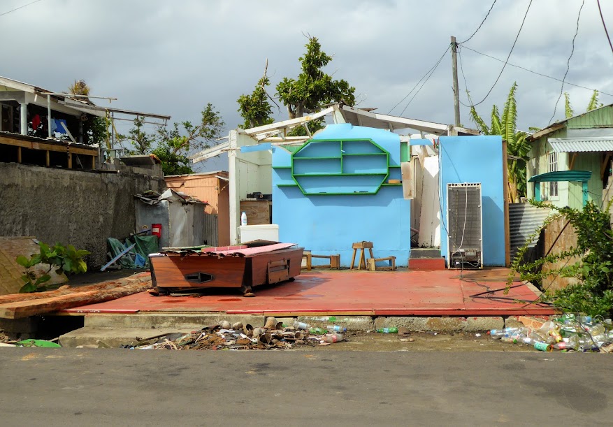
Piles of downed power lines often blocked the sidewalk, and on the far side of town, a sizable cruising sailboat that washed ashore by Maria had been left for dead.
Here is view of the main road in town, when we saw it, and just after Maria (approximately the same location).
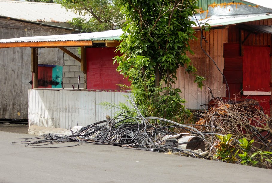
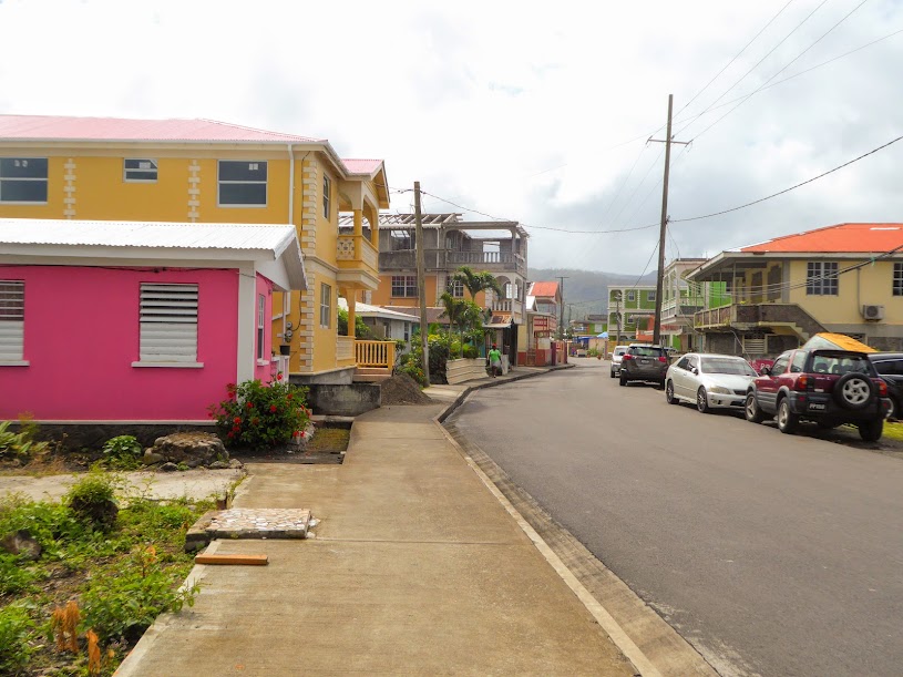
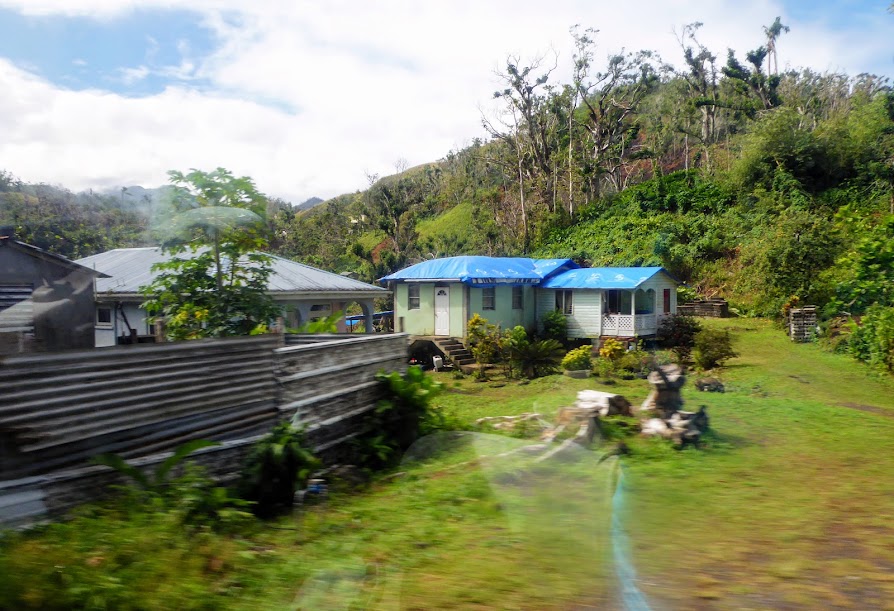
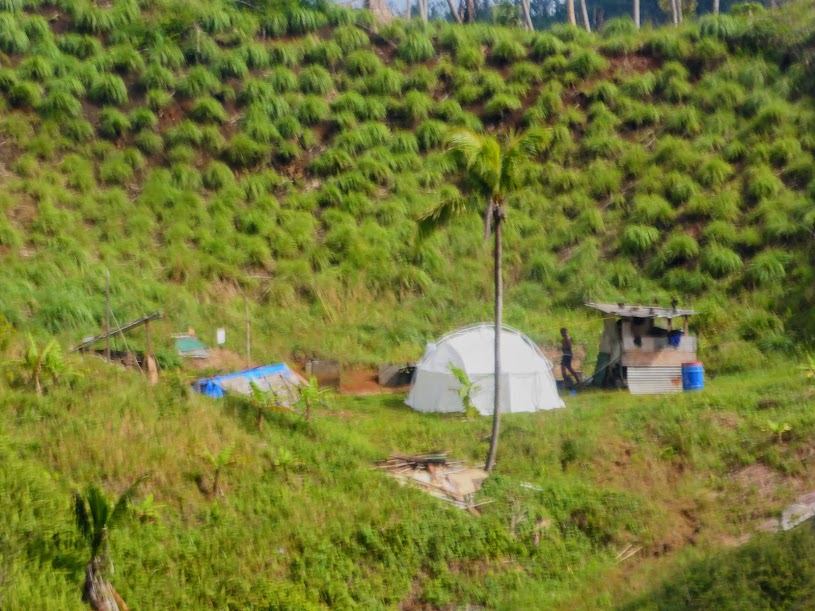
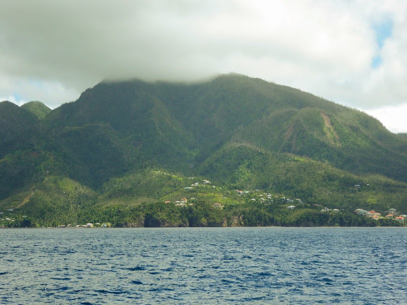
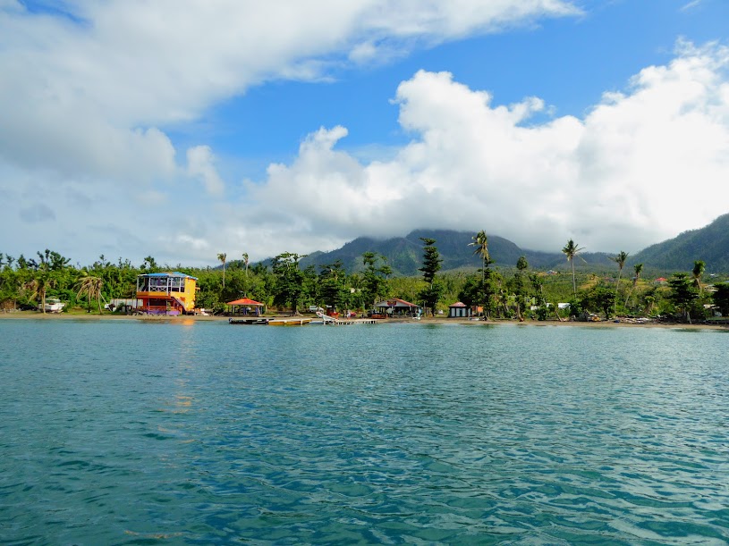
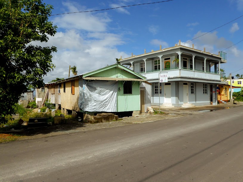
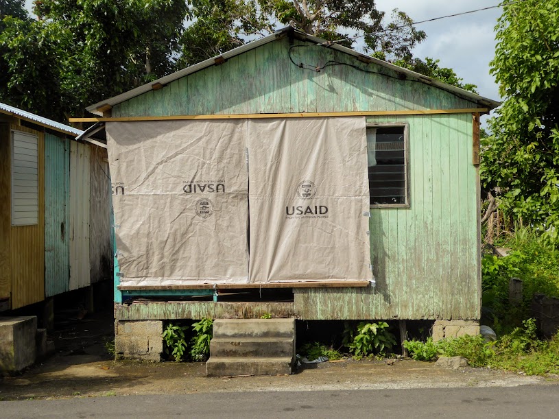
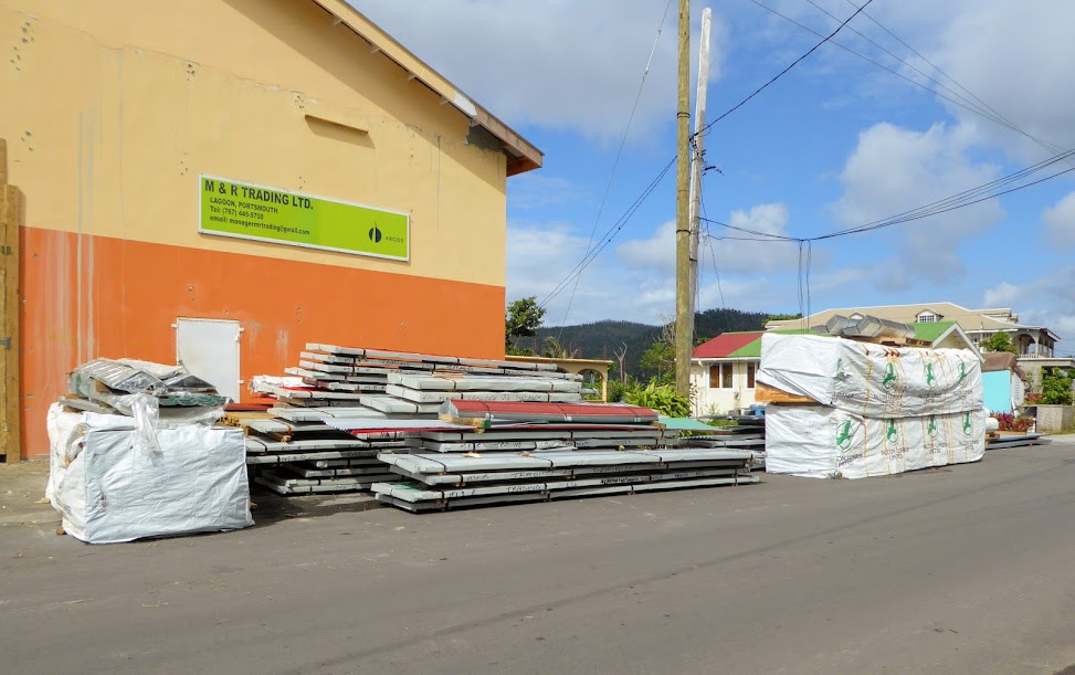
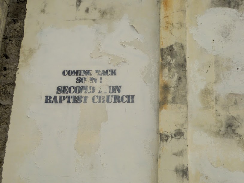
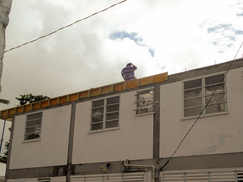
However, signs of repair and rebuilding were everywhere we looked. Many homes had fresh paint, and others were being reconstructed. We passed loads of building supplies, and people at work repairing roofs.
For the most part, it was business as usual in town, stores were open, including the local bars, and several people were set up along the sidewalks, selling fruits and vegetables.
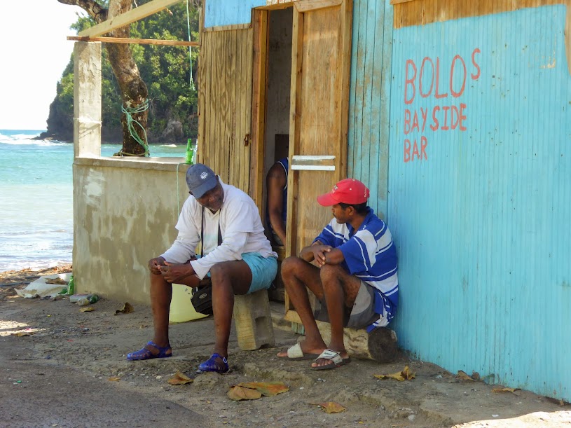
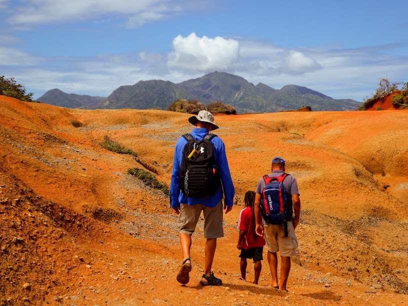
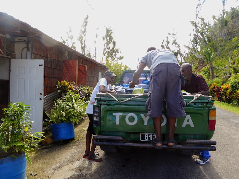
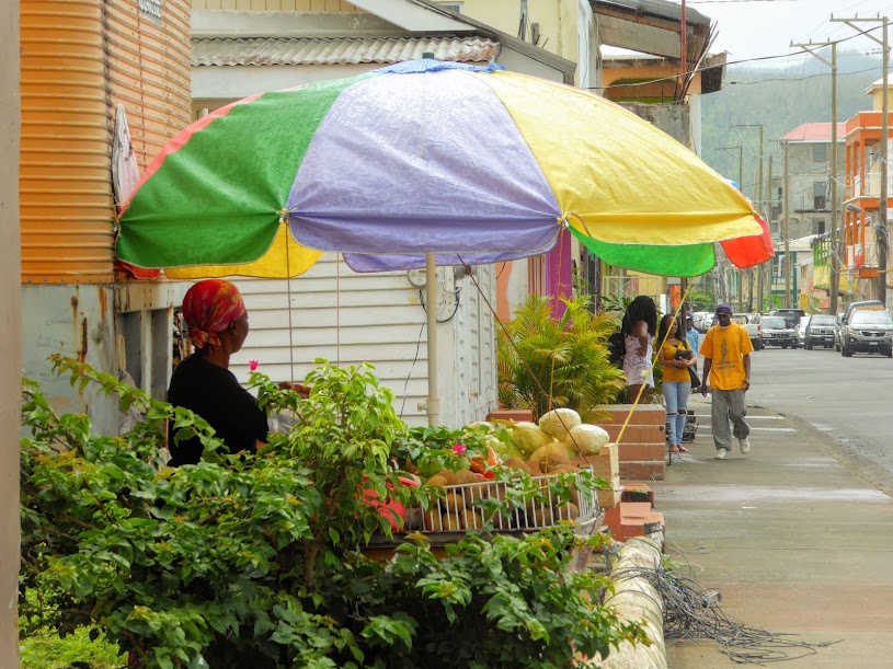
We passed several locals along our walk who were more than friendly, and many stopped to talk. At first, we were leery, waiting for them to ask for a hand-out, but none came. Most told us about their hurricane experience; hiding in bathtubs, and holding doors closed with all of their strength. Despite the fear of that night, and the devastation that they’re now working to rebuild from, Dominica’s people still had much pride in their home, and were happy to have us visit. We looked forward to spending time on this still very beautiful island. Here are more photos.
“Shells Sink, Dreams Float. Life’s Good On Our Boat!”
Iles des Saintes
Forgive the delay in posting, we’ve been off grid for the past few weeks……
With unfavorable weather predicted for heading north, we’d decided to make our way south instead. Our next destination was Ile des Saintes, a small group of islands off of mainland Guadeloupe, encircled by shallow reefs. We’d heard endless raves about “the Saints,” from every cruiser who’d visited, so it was a must-stop on our list.
Instead of making an overnight run, we opted to break up the journey and make a return stop at Deshaise, Guadeloupe for the night. Even in the “more favorable” direction from Antigua, our seven hour run was unnervingly lumpy (paravanes are the best invention ever), making us glad we’d decided not to travel north, and into the wind.
Despite the sea state, we enjoyed traveling along the scenic coast of Guadeloupe. I caught sight of a large, above-ground cemetery, crammed with graves of all shapes and sizes. There can’t be many more vacancies available.
As we approached Deshaise, Howard perused the coast. However, having no more patience for lumpy travel, and ready to just drop the anchor already, he soon tired of the view.
We dropped anchor in the harbor, went to shore for the easy-peasy clear in at a gift shop in town, stocked up on Scott’s French staples…baguettes and Orangina, and then made our way back to the boat.
The next morning we continued on, and caught sight of our friends Rob and Lindy (s/v Sea Shak) further down the coast, traveling off of our starboard side. We’d met them during our last days in Jolly Harbour, and were both headed in the same direction. We had a quick radio chat, before they tacked away from us and continued on. After a much less lumpy ride, we arrived at Ile des Saintes. The forecast for the coming week predicted strong northeast winds, so we planned to settle in.
The islands have been French since shortly after they were colonized, with a small community that used to rely almost entirely on fishing. Unlike most Caribbean islands, the Saints were never agricultural, and therefore no slaves were ever imported. As a result, residents of African descent arrived and live on the islands by choice.
There are many mooring balls available at affordable rates. However, demand far exceeds the supply, and you have to be quick and crafty to get one. A cruiser referred to the challenge as mooring ball “Hunger Games,” and he’s not far off.
On our approach, we perused the mooring field off of town with binoculars. Seeing nothing available, we slowly snaked our way through, hoping to catch sight of someone up on a bow, ready to slip their lines and leave. While scanning the mooring field, we also had to keep an eye out for other boats coming in, looking for available balls as well. It was a race of eyesight, as boats tried to beat each other to the punch. Boats already on moorings will call friends on the radio, to let them know a ball is coming open. They then speed over to the ball by dinghy, essentially claiming the spot until the boat arrives to tie on.
With all this rigmarole going on, there was no chance of getting a mooring closer to shore, and town. We moved over to the outer edge, and managed to find an open ball..hurray! Not long after Scott grabbed it and secured us, we realized why the ball had been available. It was on the outer edge of the harbor, with an almost entirely open exposure to the ever increasing winds.
We rolled like crazy, even with the flopper-stoppers in place. Winds were predicted to blow like mad over the next week, and there was no way we could stand seven days of bobbing and rolling, so the next morning, we did another pass through the balls closer to shore, and after no luck, headed over to nearby Ile Cabrit. It had just a few mooring balls, but as we approached almost half were open; but,at least two sailboats were making their way over as well. Not having to slow and bring in sails gave us the jump, and we quickly chose a ball and tied on. Mission accomplished!
Later that afternoon, we happened to notice Lindy tied to a ball near us…sitting on her stand up paddle board.
Apparently Rob had seen the open ball through binoculars, and quickly ferried her over in the dinghy to claim it. She floated there for almost an hour, while Rob made his way back to their boat, raised anchor and brought it over….amusing! We were happy to have them so close by.
The smaller, unpopulated Ile Cabrit was a popular weekend spot for boats of all sizes. Locals would anchor or take a ball, and then head to shore for picnics and fun. A small pavilion and several picnic tables with grills were scattered in the trees, and people lounged on the beach, enjoying the water. The water surrounding the Saintes was deep, but the clarity was terrific. Snorkeling in the area was very good, and Scott even heard whale songs while underwater!
We made the short hike up to the remains of Fort Josephine, which sits atop Ile Cabrit. The woods that line the shore are home to a huge flock of roosters and chickens. They share space with several cats, who are regularly chased by the bossy birds (I’d run if something with a pointy beak was chasing me too!), and an occasional goat. As we walked along the lower path, Scott was like the Pied Piper, with roosters, chickens and cats in tow.
A cement path made for an easy hike up to the hill, and we were met at the ruins of the fort by resident goats, who didn’t really seem to care that we had arrived.
From here, we had a great view of the anchorage below, and of some poor boats making their way out in the white capped water.
The view over to the main island of Terre d’en Haut was gorgeous, with the town of Bourg des Saintes nestled in the hills, and Fort Napolean on the island’s north side.
We wandered what was left of the fort, and then headed back, noticing nearby Guadeloupe on the horizon as we made our way down.
The winds were sustained in the upper 20 knots, and the water between Isle Cabrit and town was a washing machine, riddled with white caps. We were protected from the brunt of the wind, but insanely strong gusts would come down the hill at us often, lurching the boat sideways and sending anything not held down inside the boat sailing through the air.
After several days, Scott felt comfortable running the gauntlet over to town, and managed to convince me that we wouldn’t flip over and drown on the way. We donned our raincoats, which were useless. The waves slapped at us from all sides, sending water into my hood and down inside my coat. Scott was too stubborn to use his hood, and water drenched his head and face. Sunglasses kept water out of our eyes for about a minute…of the ten minute ride, so Scott steered blind most of the way.
Once at the town dock, it was work to drag our soggy selves up onto the rolling, pitching pier and brace against the strong wind gusts. We were so wet, and it looked more like we’d swam over, rather than taken a dinghy.
First things first…we needed to clear in. As I’ve mentioned before, the French islands make this so easy: enter your info. into a computer, usually found in a gift shop or cafe, have your form printed out, pay four or five Euros and go on your way! In the Saints, there was a marine office of sorts, with air conditioning, wifi, laundry service and cold beer…we were becoming big fans of the French! We both enjoyed a beer, while Scott filled out the online clearance forms and I caught up on emails. With jobs complete, it was off to walk through town and find some groceries.
Bourg des Saintes was picturesque and quaint. Buildings were bright, clean and colorful, and the streets spotlessly clean. Neighbors chatted with each other, and people sped by us on scooters, their baskets full of baguettes. We felt like we were in coastal France, instead of the Caribbean.
We couldn’t completely understand the menu boards posted out front of the many cafes and restaurants, but delicious smells invited us to come sit and eat. Souvenir and gift shops were awash in color, with items displayed outside, hoping to lure passing customers inside.
Several ferries arrived from Guadeloupe each day, making mornings in town very busy. By noon, they had departed back to the mainland, or nearby islands, and most businesses closed several hours for lunch. The grocery stores closed during the day as well, but each at different times. During most of our travels, we often need to visit two or three stores to find essential items on our list, so it was a bit challenging to get our shopping done. As we wandered past a specialty food shop, (closed for lunch), we noticed that humans weren’t the only ones in Bourg des Saintes who took a lunch break.
As we walked the streets, passing people and scooters loaded down with baguettes, Scott became nervous about the town’s supply. I assured him that of course there would be plenty of baguettes in the stores when we got there..it was a French island after all. We arrived at the first store to find the many baguette baskets empty….oops. Scott went into a panic.
I assured him that we were fine, there were two more grocery stores in town. The second store was closed when we arrived, and wouldn’t be reopening again for three hours…..double oops. I could now feel Scott’s panic (not to mention, he was venting loudly at me). We continued on to the discount store, and arrived to find their baskets full of baguettes….thank God. I could feel Scott’s blood pressure drop, as he grabbed an armful of long, crusty loaves.
I purchased some trash bags at one of the stores, to wrap our bags in and keep our food dry. Back at the pier, we stopped at a spot out of the wind, and covered our bags, backpacks and most importantly, the baguettes. We were going with the wind on our return ride, making it a bit less soggy. Nevertheless, I was glad for the trash bags, soggy baguettes would have put Scott over the edge!
We returned to the main island for a walk up to Fort Napoleon, which stands on a hill north of town. This time, I was ready for the soggy slog. In addition to cinching my hood so tight against my face that it left a mark, I cut holes in some large, black trash bags, and wore them as rain pants (think MC Hammer). I made Scott do the same, and we headed to town. The winds had died, and our ride wasn’t as brutal, but I was still glad for my homemade pants; Scott vowed never to wear his again.
We followed the main road out of town, and up to the fort, admiring the town below. At the last turn, we stopped to take in the postcard view.
The fort had been well restored, and the grounds were one, big botanical garden, dedicated to local succulent planes and iguanas.
In the trees along the north side of the fort, we spotted several iguanas. We’ve since learned that there are both indigenous and invasive iguanas in the Lesser Antilles Islands. The Lesser Antillean Iguana is pictured below, bright green, and more solid in color. They are considered endangered, and are rarely seen on many islands.
The invasive Green iguana is larger, and out competes the Lesser Antillean for food. They have also interbred, causing a hybrid species. We saw both the Green Iguana, and a hybrid type as well, in the trees at the fort.
Here is an invasive, Green Iguana.
And here is they hybrid iguana, keeping the bright green of the Lesser Antillean.
Notice how long his tail is! Look closely, it goes all the way up the branch behind him!
We walked the perimeter of the wall, for more views of town and the bays below us.
We strolled past the forts massive, thick walls, and headed back to town. On the way, we noticed many colorful fishing boats moored in the harbor below, and passed a small hotel with an inviting bar!
Having our friends Rob and Lindy just a few mooring balls away was great. Knowing Scott’s cravings for baguettes, they often returned from town with one in tow for him, and were also nice enough to deliver wine!
We introduced them to Mexican Train dominoes, and spent several nights playing on board Sea Life. One evening during a game, I felt Howard’s wet tail on my leg. I assumed, as usual, he’d dipped his tail in the water while watching fish from the swim platform. I turned to find a completely soaked cat, who’d obviously gotten too excited while watching Tarpon chase Needlefish. I went for a towel, and some wipes, to help dry him and get most of the salt from his fur. If you’re keeping track, this brings Howard’s “swim” count to seven, in five countries (thank goodness we’ve taken to securing a towel off of the swim platform, to help Howard “Phelps” get back on board)!!
The four of us decided to take advantage of the picnic areas on Ile Cabrit, and headed to shore with food and drink in tow. We grilled some food over the fire pit, and the chickens helped themselves to the scraps.
When they dispersed for the evening, Lindy and I fed the cats (impossible to do while the chickens were still around). If I thought Howard would share his boat….or more importantly, his food, I’d have quickly scooped up this little guy.
We had loads of fun, and hung out well after sunset, snapping fun, silly selfies.
One morning, Scott noticed our friends on s/v Chill coming in to take a nearby mooring. Dan and Jackie are fellow Marylanders we met while in Falmouth Harbour, Antigua. We dinghied over to say hello, and invite them for drinks and a catch-up. They came aboard, with friends in tow, and we enjoyed a great evening. Dan and Jackie purchased one of the Chesapeake Bay lighthouses, years back,when they were up for auction. They’ve did an incredible renovation, and enjoy it as a summer get-away. Check it out here.
The winds were dying, which meant we would all be continuing on, in different directions. Lindy and Rob left early one morning, bound for St. Lucia. We spent one more evening ashore for drinks, while Scott burned some of our trash, and the next morning, they passed alongside for a final goodbye, then headed for the horizon.
Dan slipped his mooring a few hours later. He was taking Chill to Martinique solo, where Jackie and some of their children would join him. Dan gave us a wave as he made is way out of the mooring field, and headed south.
Scott and I lingered one more day, giving the seas a chance to calm a bit more. We enjoyed an early dinner in town, and prepared for the next day’s journey, while Howard eyed some young pelicans swimming near the boat.
Our next stop….Dominica. Here are many more photos of our time in the Saints.
“Shells Sink, Dreams Float. Life’s Good On Our Boat!”
A Visit To Antigua’s Capital City, And Nearby Great Bird Island
The holidays were over, and it was back to “normal” cruising life in Antigua. We had packages being sent to Antigua from home, and copies of our clearance papers were required, in order to waive the duty. Ezone, the shipping company we used, was located just outside of St. John’s, Antigua’s capital city, so my friend Di and I decided to make a day of it.
Buses in Antigua are similar to Grenada, in the fact that the price is right, and you can get on and off at any time. The amusing conductors are missing, as is the heart-pounding party music, but it’s still a crowded, hot go. Buses don’t travel through the narrow streets of St. John’s. Instead, there is a station on either side of town, and the routes fan out to the east and west from each station (online photo).
Di and I were lucky enough to board an air conditioned bus in Falmouth, for our 45 minute ride to town…yahoo! Once at the west bus station, we made a ten minute walk across town to the east bus station, where we boarded a bus going toward the shipping company. After a ten minute ride, we got off at the nearest intersection, and walked about five minutes down the road to the shipping company.
Got that? A 45 minute ride, in a/c, thank goodness; a ten minute, hot walk; a ten minute, hot ride and a five minute, hot walk, then reveres…now go hug your air conditioned car.
In less than five minutes, we we finished at the shipping company, and asked how long our wait might be to get a bus back into St. John’s. Di and I lucked out again, as the owner of the company was heading into town, and offered us a ride back.
We spent the next few hours wandering the streets of St. John, perusing the many local shops and stores, as well as the duty-free, but still plenty-expensive stores leading to the cruise ship terminal. There were at least two large ships docked in St. John’s at any given time, sometimes as many as four. The streets were still decorated for the holidays (I borrowed another photo).
We poked our heads into St. John’s Cathedral, which is on a high point in town, offering views back down the city streets, and out to the cruise ship docks.
The building was undergoing a major renovation, and Di and I assumed it was due to recent damage from hurricane Irma or Maria. Once inside, we learned that the church had instead been completely devastated by termites. As a result, the entire interior was being redone. The monumental task was almost complete, and a grand reopening was scheduled for March.
After conquering the city, we cooled off with some gelato, and then made our way over to the west station, to board the number 17 bus back to Falmouth Harbour. Buses wait at the station until they are full. Full means that every seat is taken, including the fold-down jump seats, and the third seat up front, between the driver and passenger. Ten minutes after we boarded the bus, it was cattle-car full, and we were off.
Just before we arrived at the station, Di and I both realized that neither one of us had remembered to bring a vhf radio. Di’s husband, Jeff, had dropped us off at the dingy dock, and we now had no way to call either husband for a return ride to our boats. Back at Falmouth Harbour, we walked over to the yacht club, where the office staff was nice enough to let us use their radio. I was able to reach Scott, and a few minutes later, he arrive to fetch us, ending our long, hot, but enjoyable day in town.
With time to kill before our care package arrived, we decided to visit nearby Great Bird Island, located off of Antigua’s north side. Surprisingly, after only two weeks, we raised the anchor to find some thick sea grass had taken root in our anchor chain.
Scott patiently scrubbed the stuff loose, and we left crowded Falmouth Harbor, with Howard already comfortably settled in for the ride.
Traveling up the coast, we passed off of Long Island, where upscale Jumby Bay Resort is located, as well as several massive private homes.
Just past Long Island, we spotted Dboat, an old freighter that now acts as a floating adult-entertainment barge. Dboat offers a bar, with both covered and full-sun seating, a large slide off of the top deck and several trampolines and floats, to pass the time.
We dropped anchor at Great Bird Island, surrounded by several other cruiser and charter boats. Scott noticed an inviting spot off of our starboard side, with only one boat at anchor. After checking the chart, he realized that there were several coral heads surrounding the area, which may have deterred other boats from entering.
Coral heads can definitely be intimidating, but after our time in the Western Caribbean, we are far more comfortable navigating them than most, so when the lone boat left the next morning, we raised anchor and claimed the spot for ourselves. A sizable reef stretched out ahead of us, and off of our bow was an island full of birds. It was peaceful, a nice change from busy Falmouth Harbour and the water was rippled in shades of blue….awesome.
Scott explored his surroundings, and took our friends Ian and Manuela to their own private visit at nearby Stingray City. It saved paying the fee to come by tour boat, and there were no crowds. However, Manuela was a bit freaked out by the idea of being alone, with the many rays brushing against her. She retreated back to the Aluminum Princess after only a few minutes, leaving Ian to enjoy the rays by himself. Scott was just happy for any excuse to take a boat ride.
After a few days at anchor, enjoying brunch on board with friends, fish-watching at night and quiet time in general, we traveled back down the coast. Our packages had arrived, and the forecast called for increased wind, so we headed for Jolly Harbour. It offered protection from the weather, and easy access to shore, and a rental car office just steps from the dinghy dock(and Howard thought it smelled good).
I must have drawn the short stick, and was unlucky enough to drive the rental…on the “wrong” side of the car, on the “wrong” side of the street and on unfamiliar roads (this was Scott’s payback, for doing all the driving when we visited England). For the most part, I did pretty well remembering to keep the yellow line on my right, as opposed to my left, and only turned on the wipers instead of the turn signal (wrong side of the car), a handful of times.
However, the whole day was like a real-time video game. I had to swerve the many potholes that threatened to swallow the car, and Scott was like a broken record, telling me that I was too far to the left. What was most challenging, is that drivers in Antigua seemed seemed to enjoy playing a constant game of chicken, traveling right down the center of the road, and only moving off to their respective side at the last second.
We picked up our boxes at Ezone, and then made a stop at the much larger Epicurean grocery store outside of town, filling three shopping carts full of things we needed, and others we hadn’t seen in months and wanted. After perusing a large home store, and several local hardware stores, the car was stuffed full and we made our way back to Jolly Harbour.
We’d taken a mooring ball for two nights, putting us right off the boat yard. The guard at the gate gave us permission to bring our car in to unload, and we parked at the far end of the yard. After five trips back and forth, with the dinghy at full capacity, the car was empty and the saloon was full. I took the rest of the day to put everything in its place, with help and supervision from Howard, and our big provision was done.
With the “winter winds” firmly in place (I don’t know why they’re referred to as the “Christmas” winds, since they don’t seem to know when the holidays begin, or end), weather wasn’t favorable for travel, and most of the anchorages at nearby islands didn’t provide the protection of our location at Jolly Harbour.
For an escape from the crowded anchorage, we literally went around the corner, to Five Islands Bay. Our only neighbor? A 48 foot Kadey Krogen! Ken and Slyvianne escape Canada each year, and spend their winters aboard Silken Sea. We spent an evening on board their beautiful boat, getting to know them better, and swapping cruising and Krogen stories.
Scott explored one of the nearby islands, stomping around a salt pond and old sugar mill. It was a challenging go, as the paths were lined with tenacious bushes full of long thorns, whose branches were resistant to his efforts with a machete.
After a few days of quiet, and a change of scene, we made our way back to Jolly Harbour. Ken and Slyvianne were trying to make Trinidad for carnival, so after taking on fuel, they chose to take their licks and head further south.
We settled back into life at anchor in Jolly, and waited for better travel weather, as we seem to do so often. Here are more photos.
“Shells Sink, Dreams Float. Life’s Good On Our Boat!”
Celebrating The Holidays On Antigua
We had come to spend the holidays on Antigua for one reason, Nelson’s Dockyard’s annual Christmas Day champagne party . Our friends Jeff and Di first told us about the event, while we were all still in Grenada. Champagne, sunshine and cruising friends?!? I was immediately sold.
Shortly after we settled into Falmouth Harbour, Howard went into the water…possibly an attempt at a holiday bath? At our latest count, he’d been in the water six times, in four countries.
Scott trimmed Sea Life in her holiday finest, we snapped a Christmas photo and were ready for the holidays to begin.
On Christmas Day, we walked over to the Nelson’s Dockyard to meet our friends. A crowd of people were already gathering in the midday sun when we arrived.
Under a huge tent, a large, old wooden dinghy was filled with champagne bottles on ice. The process was simple: buy a bottle, and grab some cups for sharing. Prices ranged from $15.00 usd, up to $95.00 a bottle, with proceeds going toward the fight against breast cancer.
I’d brought along two insulated drink thermoses, with a splash of mango juice in each one. I divided my champagne between the two, and voila!…chilled mimosas ready to go! Scott, not being a champagne drinker, had come armed with his own thermoses, filled with vodka and Orangina; let the merriment begin!
As we walked the grounds, I snapped some photos of some people in their holiday garb.
An odd-looking boat was on display, outside one of the buildings. We went for a closer look, and learned that James “Tiny” Little had used it to row 3,000 miles from the Canary Islands to Antigua, in 2005.
Little left the Canaries in January, and arrived on Antigua four months later…looking much lighter. Notice his interesting, daily schedule.
We spent the day in the company of good friends, enjoying the champagne, sunshine….and silliness.
Di and I posed for a photos with one of the many Santas in attendance. This particular Santa was sitting by a case of Heineken beer; it must have been a stressful Christmas Eve.
Our friend Ian was a dancing machine, performing a one-man show as the band played nearby.
Eventually, he took his moves closer to the band, dancing with several partners.
And he still had energy left to take his wife, Manuela, for a twirl as well.
It was a great Christmas Day.
Next up, New Year’s Eve., and our friend Karen (our official cruising visitor), flew in to celebrate with us. As we prepared her room, Howard firmly claimed the pull-down bunk. We thought she wouldn’t mind sharing with him, and officially made them roommates.
Steady rain poured the entire morning of Karen’s arrival, so I sent Scott to the dinghy dock armed with a raincoat for her, and trash bags for her luggage. Thankfully, by the time Scott picked her up at the dock, the rain had stopped.
We spent the first part of our evening up at Shirley Heights. A reggae band played, the crowd was festive, and the view was beautiful.
Karen broke her flip flop on the historical site’s uneven surface, but not to fear…”MacGyver” got right to work with his knife and some cocktail straws. In no time…presto!, she was back in business.
As the night grew later, we left Shirley Heights, and made our way back down the hill to Nelson’s Dockyard, where a large crowd was gathering for the countdown to midnight, and continued our celebration.
As a DJ played music for the crowd, Ian shared some dance move tips with Scott, who caught on pretty well.
Before we knew it, midnight arrived, and 2018 was ushered in with cheers and a colorful fireworks display.
Our journey back to Sea Life was full of acrobatics. Scott fell on the uneven sidewalk, and rolled his way into some nearby grass, and shockingly came up unscathed. I fell soon after, but did not roll, and instead came up with one of my toes bent sideways. A friendly local gave me a hand off the ground, asking….”Do you people need help?”
We arrived at the dock, where Karen promptly fell into the dinghy. After managing to all acrobats seated, and the motor started, we sped off and ran over a bouy. As he cut away the tangled mass of line from the prop, Scott barked at Karen and me to row. Eventually, we made it back to Sea Life without further issue, and safely climbed aboard. Maybe a bit too much celebrating.
On New Year’s Day, Karen and I spent the afternoon at Boom, a nearby restaurant with a pool on site. We walked the drive leading up to the property, past colorful tropical plants and flowers, and settled into a poolside daybed.
We enjoyed lunch, drinks and some pool time, before making our way back to Scott, who’d spent the day napping.
On Karen’s final day, she and I walked the street leading to Nelson’s Dockyard, chatting with locals and perusing shops as we went.
When we were all shopped out, the two of us made our way out of the dockyard, but not before getting a final glimpse of Boom across the water, while trying not to disturb one of the resident iguanas.
We took a short cab ride to nearby Papa’s for some lunch, before she left for the airport. Scott arrived at the waterfront restaurant by dinghy, with Karen’s bags in tow.
We enjoyed a relaxing lunch, said goodbye to our friend and put her into a cab, bound for the airport.
It had been a wonderful Antigua holiday, as we spent time with cruising friends, and our good friend from home. We wonder what 2018 has in store for the crew of Sea Life?? Here are more photos.
“Shells Sink, Dreams Float. Life’s Good On Our Boat!”
On to Antigua
From Deshaies, it was just a short day’s ride to Antigua, where we would celebrate Christmas and New Year’s Eve. Scott caught a mahi along the way, but it broke free just as he was preparing to scoop it into the cockpit…skunked again.
He reset the lines, and went back to..ahem…”fishing.”
We planned to anchor in Falmouth Harbour for the holidays, but first headed for Jolly Harbour, further north. Falmouth is part of a national park, and boats are charged daily anchoring fees, in addition to clearance fees, when checking in. Clearing in at Jolly Harbour would save us the anchoring fees, and there was also a large grocery store across the street from the dinghy dock. Our plan was to clear in, hit the grocery store and then immediately continue on to Falmouth Harbour. The winds were predicted to increase in the next day or so, and we wanted to be in place when they did.
Scott had used Sea Clear, an online service offered in many of the Eastern Caribbean islands, that allowed him to fill out our clearance paperwork ahead of time. In most islands we’ve visited, officials are quite happy with this system, as it saves time, and avoids having to decipher handwritten forms. As has happened several times before, Scott was waived to the front of the line, past cruisers who hadn’t pre-cleared. Howard wasn’t an issue for the officials, and Scott soon returned to the boat.
Next up…groceries. On our way across the street to the store, we said hello to the many cats who have made a home in the large, abandoned casino building along the waterfront. They came in all colors, and had usually slanted eyes.
Most were pretty timid, except this guy, who took a liking to Scott.
The Epicurean grocery store at Jolly Harbour was large, stocked with good produce and had many familiar items. Behind it was a home store, run by the same company.. one stop shopping.
The bag boys were happy to help wheel our many bags, bottles and cases across the street and onto the dinghy dock, a service that was well worth the tip.
With a full dinghy, we headed back through the marina, and were reminded that Christmas was just around the corner.
Back at the boat, we unloaded our provisions, raised anchor and left Jolly Harbour to head for Falmouth.
Along the way, we passed some large houses on the cliffs above the shoreline. You could definitely smell the money on this island.
Just two hours later, we made the turn into Falmouth Harbour, and were smacked in the face by a mass of fiberglass and stainless.
The marina was at the back of the harbour, but the huge wall of yachts was visible clear across the large bay.
Scott was trying to focus on navigating, while eyeballing the unusual boats at anchor, as we made our way further into the harbour.
I snapped photos as we traveled closer to the mass of behemoths. My head was on a swivel, as I shouted to Scott, “Good Lord, look at that!”
And, s@#t!, do you see that one?!?” It was so much to take in, that I completely missed our friends, Jeff and Di, waving to us as we went by them.
Howard was intrigued as well.
In the 1700s, it was hard to find secure ports that were easily defensible, with immediate access to the trade winds. Falmouth and nearby English Harbour, side by side and almost touching at the closest point, met all these requirements.
In the early eighteenth century, the British Royal Navy recognized the strategic importance of English Harbour for protecting ships from hurricanes, and its position at the south of the island for monitoring French naval activity. Throughout the century, the dockyard grew in importance, as it was the only harbour in the Eastern Caribbean large enough for safe, naval ship repairs.
From 1784 through 1787, Horatio Nelson, was sent to Antigua to enforce British laws in the colonies (Considered a British hero, he was noted for his inspirational leadership, superb grasp of strategy and unconventional tactics, which together resulted in a number of decisive British naval victories). During his time on the island, work was begun on the English Harbour Dockyard, and was completed, looking much as it does today, by 1789.
The Dockyard was abandoned by the Royal Navy in 1889, and by 1947, it was in ruins. A massive restoration began in 1949, and the area was turned into a beautiful, but functional monument. When complete, the area was renamed Nelson’s Dockyard in honor of the years Nelson spent in Antigua, and in 2016, it was listed as a World Heritage Site by UNESCO. I found this small photo online, that offers a good overview of the property.
Today, the restored buildings in Nelson’s Dockyard house hotels, restaurants and businesses, and both harbours are part of Antigua’s National Parks Authority.
Not only is it Antigua’s yachting capital, but English Harbour is also a major Caribbean yachting center and destination.
The harbours attract hundreds of cruising yachts each year. English Harbour is more scenic, but small, with less room for boats at anchor, and has become the Caribbean’s main base for beautiful, sailing superyachts. Falmouth Harbour is considerably larger, surrounded by hills and offers more facilities than English Harbour. Because of this, it’s favored by most charter yachts, superyachts and larger cruising yachts. With more room to anchor, an easy ride to shore and many conveniences within easy walking distance, we chose to anchor in Falmouth as well (located at the top of this online photo).
There were three grocery stores not far from the dinghy dock, as well as several restaurants on the marina grounds. The short stretch of road between Falmouth and English harbour was lined with many more restaurants and shops.
High up on a hill above Nelson’s Dockyard, Shirley Heights is a restored military lookout and gun battery. The military complex, within a short distance of the Dockyard, is not named after the fairer sex, but after Sir Thomas Shirley, Governor of the Leeward Islands, who strengthened Antigua’s defenses in 1781. At approximately 490 feet, it offers amazing views of English and Falmouth Harbours below. The buildings on site have been adapted to function as a restaurant and bar, and it hosts a famous, Sunday evening sunset party each week.
We hopped in a taxi with our friend, David Smylie, and headed up the hill for drinks and sunset views, arriving to music in the air, and a crowd full of people.
We wandered over to the nearby picnic grounds, which allowed more open views of the harbours below.
As the sun set, English Harbour and Falmouth Harbours lit up below us. We looked forward to spending the upcoming holidays in this historic and beautiful place.
Here are more photos.
“Shells Sink, Dreams Float. Life’s Good On Our Boat!”
Our Time In The Grenadine Islands
The Grenadines islands lie between the islands of Saint Vincent to the north and Grenada to the south. The islands north of the Martinique Channel belong to Saint Vincent, and the those south of the channel belong to Grenada.
St. Vincent, and its neighboring islands make up their own Caribbean nation, but Neither Saint Vincent nor Grenada are Grenadine islands. There are 32 islands and cays that make up Saint Vincent and the Grenadines. Nine of which are inhabited, including the mainland Saint Vincent.
(You’ll notice in the photo below, that when we visited Petite St. Vincent before clearing out of Grenada, we were actually in the waters of St. Vincent and the Grenadines…oops.)
Unfortunately, crime (including violent crime) against cruisers anchoring off St. Vincent has become quite an issue, so we chose to anchor off Union Island, and clear in there instead. The island was much safer, and it was a shorter journey from Carriacou, where we’d cleared out of Grenada.
While Scott headed to shore, I eyeballed the cool-looking bar behind us, and the gorgeous water. Sadly, we didn’t get to visit the bar.
Scott made a quick, easy visit to customs and immigration, then we headed around to the back side of Union Island, anchoring in Chatham Bay. The area was scenic and peaceful, with only a very small resort and three local bar/restaurants lining the beach.
As soon as we were settled, Scott loaded up the dinghy with fishing and snorkeling gear, and headed out to explore the bay, while Howard enjoyed some quiet time on the bow.
In the afternoon, we visited two of the three small beach bars on shore for happy hour. Seki and Vanessa run Sunset Cove, the “largest” bar/restaurant, and we enjoyed time chatting with them while the sun set.
We lingered one more day in Chatham, before raising anchor and heading around the corner to the Tobago Cays. The area is a popular spot for both cruising and charter boats, so the anchorages were quite crowded. We poked around a bit, and finally found a some space behind a reef, with a bit of room to breath.
Scott climbed to the top of one of the nearby cays, which offered good views of the many boats at anchor below (including Sea Life, of course), and the surrounding reef. Along the way, he took notice of how arid the small island was; quite a change from the lush landscape of Grenada.
After several days, we continued on to the island of Bequia (pronounced Bek-way). Along the way, we noticed an old, sunken freighter, and some houses that seemed to be built right into a rocky coast.
We entered the harbor at Bequia just in time, as it seemed Howard was tired of traveling. The forecast called for a fairly decent north swell, so Scott chose to drop anchor at the north end of the harbor. It was definitely the right call, as those anchored to the south, off of the beach, spent their days rolling like hobby-horses when the swell arrived.
We made our way to shore, past colorful houses in the hills surrounding the harbor, and tied to the town dock, sharing it with a “passenger pod” from one of the two small cruise ships at anchor behind us.
Restaurants, shops, produce stands and grocery stores make up the few blocks that are “downtown” Bequia.
At the edge of town, the shoreline is full of restaurants, bars and small hotels, accessed by a narrow, winding cement path at the water’s edge. Passing oncoming pedestrians can be challenging, and at high tide, wet feet can’t be avoided.
The symbol of a blue whale was visible throughout Bequia. At the Whaleboner, we sat along a bar trimmed in the rib bone of a whale, and in stools made from vertebrae.
During our stay, we enjoyed the island’s unique and quirky sights.
The small, quiet harbor was relaxing, even with small cruise ships often in town. We spent time with other cruising friends, and waited for better weather to continue north.
Howard and Scott had begun a nightly ritual of watching fish. Scott lowers our led fish light into the water, and he and Howard wait to see what comes calling. Large tarpon, needlefish, minnows, crabs and small squid and eels are regularly attracted to the light, and Howard watches them all intently. Wanting to give Howard some “paws on” interaction, Scott filled a Tupperware container with water, and scooped up a few minnows.
Howard immediately went to work, oblivious to the water as he pawed at the tiny fish. It wasn’t long before he managed to flip one out onto the cockpit floor, so Scott filled the container with more water, in hopes of making the fish more challenging to catch.
Undeterred, Howard just got wetter, as he flipped the minnows out just as quickly. Before Scott realized it, Howard had brought one inside, swallowed his freshly caught snack, and went back for more. Much to the chagrin of both boys, I put a quick stop to minnow-smorgasbord. We’d just gotten Howard’s innards calmed down, and I wasn’t about to risk another possible go-round.
On one of our last evenings on the island, we visited Fernando’s Hideaway, a small restaurant located on top of a hill outside of town. We hopped into the bed of a pick up truck (aka, a Caribbean taxi) for the short ride to Fernando’s, traveling along wide cement roads, that were in terrific condition. As we climbed higher, the wider roads gave way to more narrow, local routes, and we eventually turned into a driveway…we had arrived.
As is popular in the Caribbean, Fernando’s Hideaway is run out of Fernando’s house. Off of the restaurant’s kitchen, there is a deck with just a few tables, surrounded by a canopy of trees, flowers and vines. Candles set into empty flour bags gave the tables a warm glow, and tree frogs provided fitting dinner music.
Our dinner was fantastic, and we weren’t the only ones who though so. The walls of the restroom were lined with accolades from young diners.
Once everyone had been served, Fernando came out to the deck for a break, settling into a chair just behind our table. We struck up a conversation, and learned that he’d spent most of his life as a cook on container ships, traveling all over the world before coming back to Bequia. Each day, Fernando makes everything himself, from the delicious goat water (soup), to the savory local snapper and greens, down to the scrumptious lemon bars we had for dessert. We left with happy, full bellies, and great memories of our hideaway evening.
The weather had finally settled enough for us to move on, so it was time to say goodbye to Bequia, and the Grenadines, and continue north. Our next stop, the island of Guadeloupe. Here are more photos of our time in the Grenadine Islands.
“Shells Sink, Dreams Float. Life’s Good On Our Boat!”