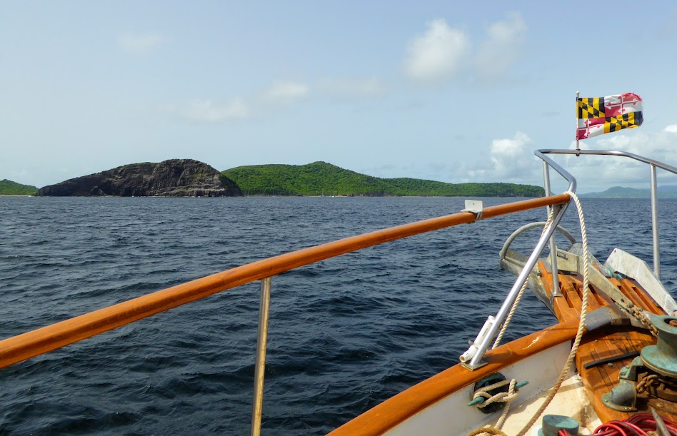
While I was away, Scott had roughly three weeks to explore, and was deciding what to do with his time: Stay in St. Thomas? Wander over to St. John? Venture as far as the British Virgins? With many variables in play, out came the paper charts.
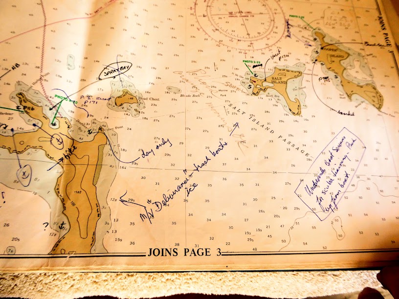
Even though we navigate using both GPS and our iPad, Scott’s still an old-school, paper chart guy. We are lucky enough to have dear friends who spent more than ten years circumnavigating the globe. Kirk and Gisela graciously gifted us a stack of their charts (fyi, paper charts are not cheap!), and Scott often goes to them as an additional source of reference.
He pulled some of Kirk and Gisela’s charts of the British Virgin Islands. Their charts are full of notes about snorkeling and hiking spots, favorable anchorages and even pay phone locations (remember them). We always enjoy reading the notes, and comparing them with current guide books, and the surrounding area.

The British Virgins were tempting, especially in May and June, when they would be much less crowded than in winter’s high season. However, traveling there and getting back to St. Thomas in time for my return, with allowances for weather, may not give Scott much time to linger. The fees for the BVIs were more of a concern. He didn’t feel it was worth paying to clear in, and for nightly mooring ball fees, if it was just himself, and not both of us. With no clearance fees for a U.S. Virgins, and cheaper mooring balls (sometimes free), Scott decided to explore St. John instead.
Here are some interesting things I discovered about the U.S Virgin Islands, and St. John, on the good-old internet:
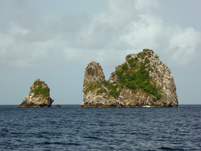
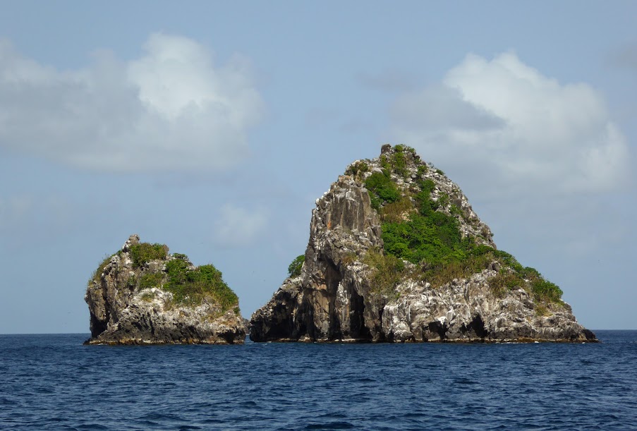
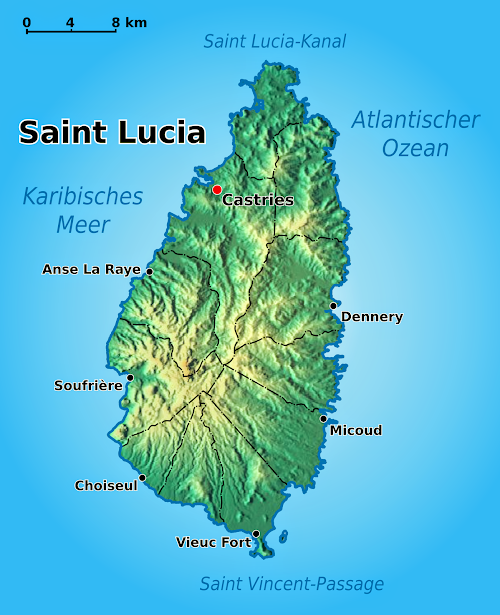
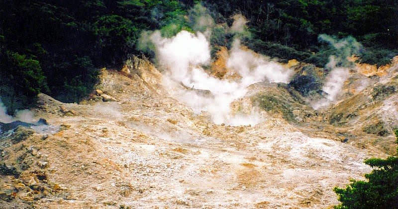
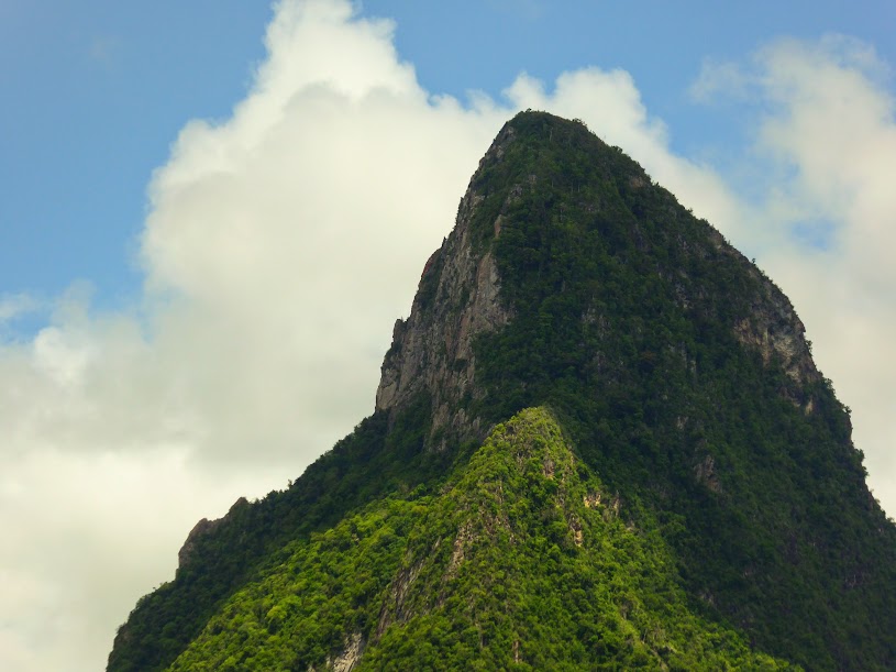
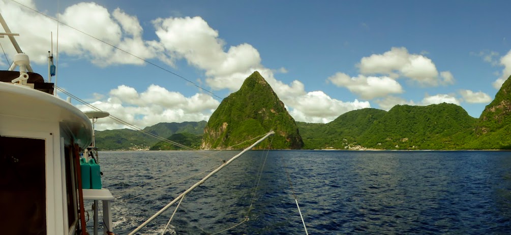
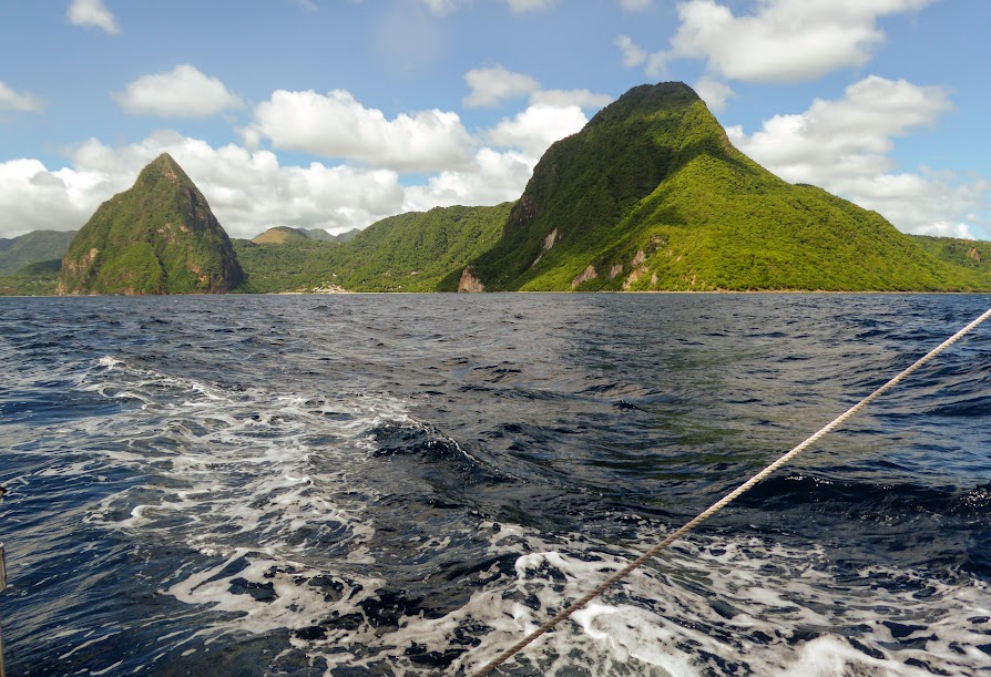
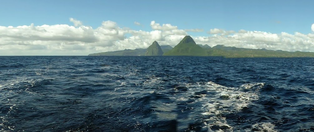
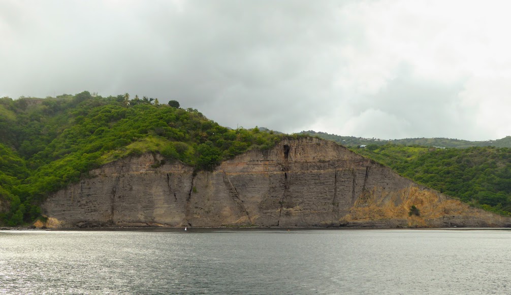
St John is actually a volcanic island, part of a undersea mountain range which includes the larger islands of the Greater Antilles, the Virgin Islands, and the Lesser Antilles. There is a clear geologic record that stretches back some 100 million years, and earliest stages of the island’s formation began when the major continents were closer together. The first stages took place underwater, and the first volcanic flows were later uplifted and exposed. The oldest exposed rocks of St John are still recognizable as separate flows.

Saint John was first settled by the Taino Indians, who migrated north from coastal areas of present-day Colombia and Venezuela, around AD 300. The Arawak inhabited the island until around the year AD 1300, when they were driven off by the more aggressive and warlike Carib (who obviously later inspired a name for the now-popular Caribbean beer)!

The first European to discover the Virgin Islands was Christopher Columbus, on his second voyage to the New World, in 1493. He first landed on St. Croix, which he named Santa Cruz. He then sailed further north, discovering many more islands. A Catholic, Columbus named the group of numerous islands as Once Mil Virgenes (Eleven Thousand Virgins), in honor of the feast day of Saint Ursula, and the 11,000 virgins who were martyred with her.

Although Columbus was the first to discover the islands, the first Europeans to settle the virgins were the Danish. In 1671, Denmark clearly ruled St. Thomas, establishing the first permanent settlement there. By 1718, Denmark’s settlements expanded to St. John (They are credited with naming the island, in Danish: Sankt Jan), and in 1733, Denmark purchased St. Croix from France, uniting the three Virgin Islands.

Because the island provided perfect conditions for growing sugar cane (intense heat and fertile soil), sugar plantations were soon abundant throughout St. John, with slave labor being shipped in from Africa. The local Carib and Arawak populations were also enslaved, to the point of extinction.


In 1917, during the First World War, the United States purchased the Virgin Islands for $25 million dollars from the Danish government in order to establish a naval base. Their intent was to prevent expansion of the German Empire into the Western Hemisphere. As part of the negotiations for this deal, the U.S. agreed to recognize Denmark’s claim to Greenland, which they had previously disputed. The U.S. Virgin Islands are an organized, unincorporated territory of the United States, which means its residents are U.S. citizens, but they cannot vote in presidential elections.

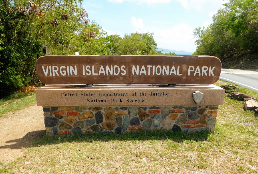
More than 5,000 acres on St. John, about half of the island, is preserved and protected by the Virgin Islands National Park Service.
Laurance Rockefeller, John D. Rockefeller’s son, visited the U.S. Virgin Islands by cruise ship in the 1950s. So moved by the island chain’s incredible beauty, he promptly purchased 5,000 acres on the island of St. John.
Rockefeller began construction of a resort on Caneel Bay, and in 1955, began developing an infrastructure on the island to provide the resort with power, fresh water and roads.


He oversaw every detail of the development personally, and then in 1956, donated the land to the National Park Service, with the contingency that the land never be developed.

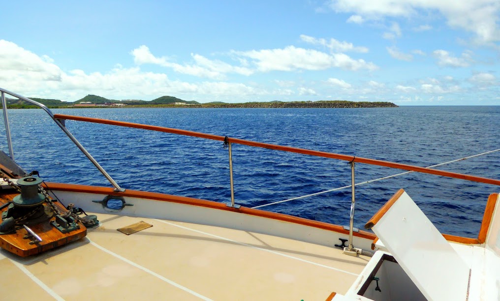
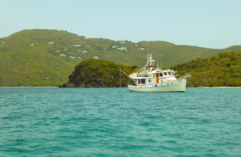
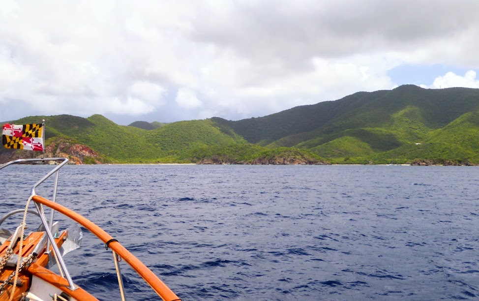
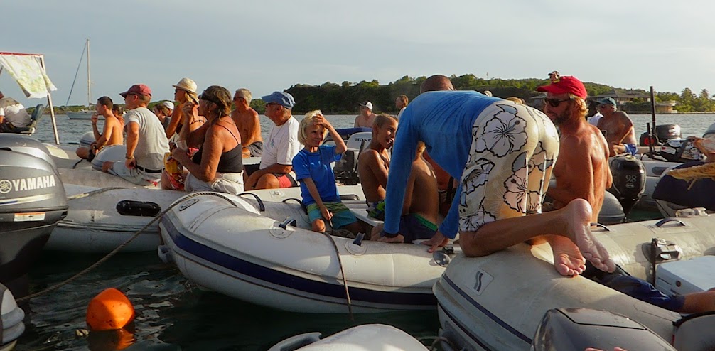
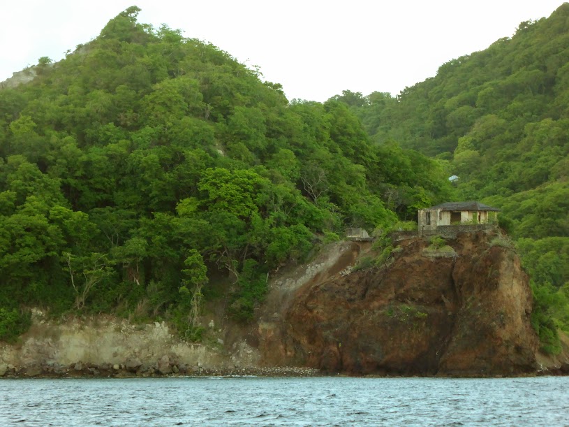
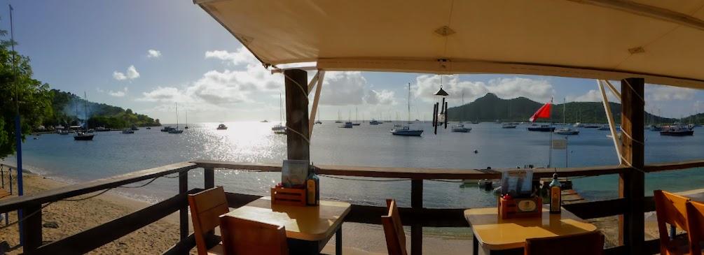
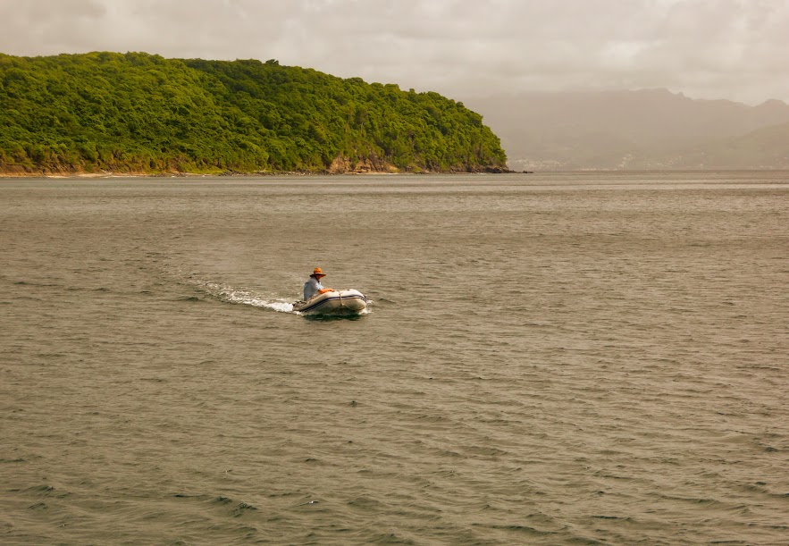
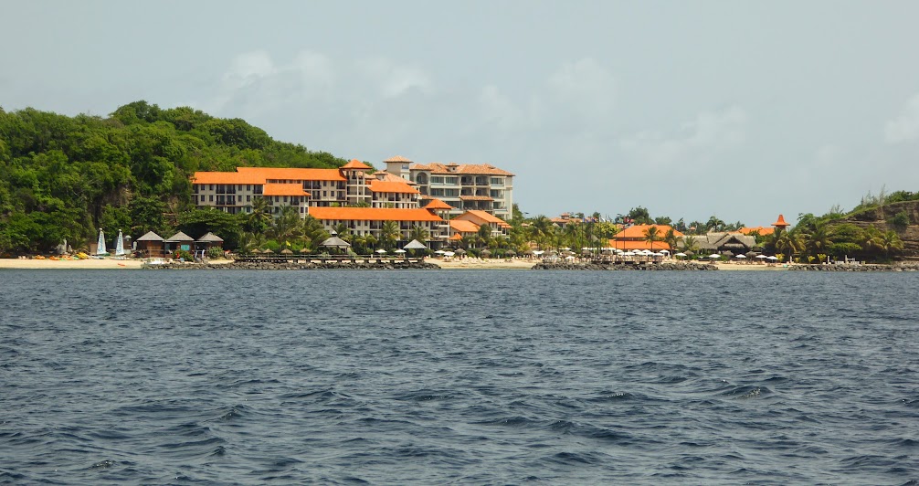
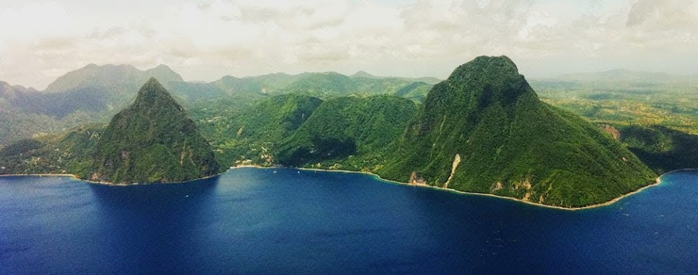
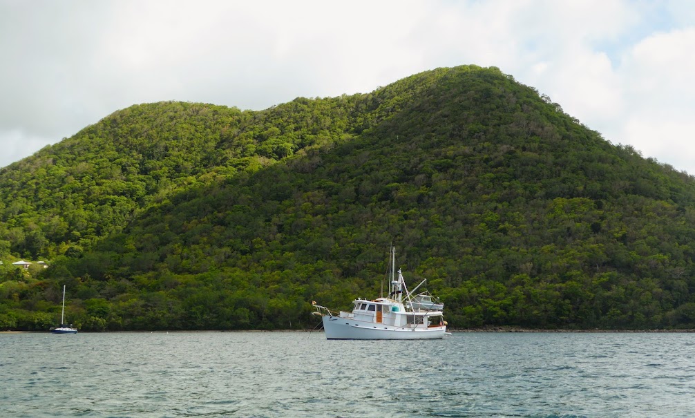
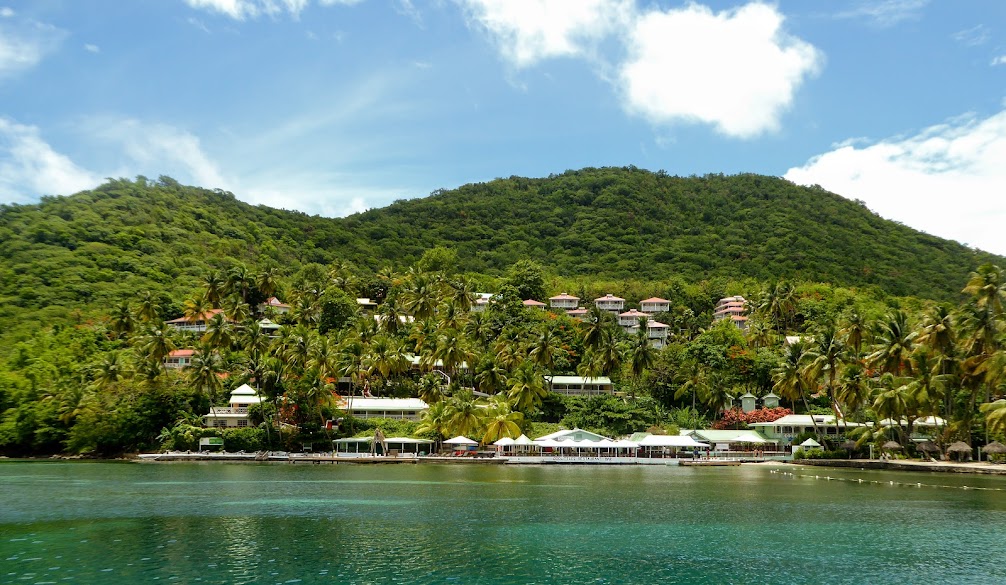
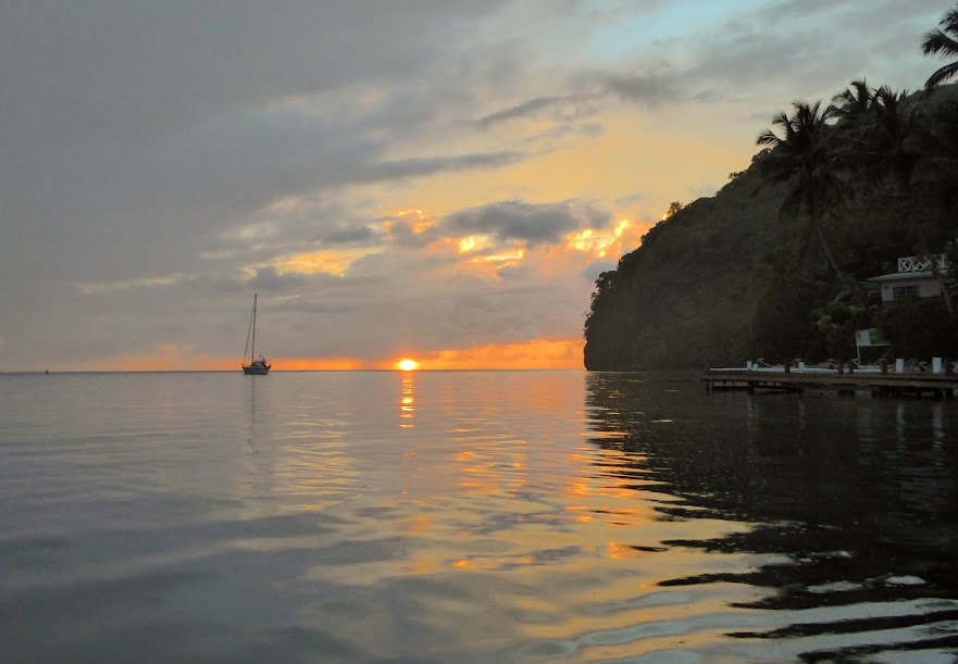
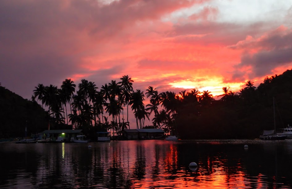
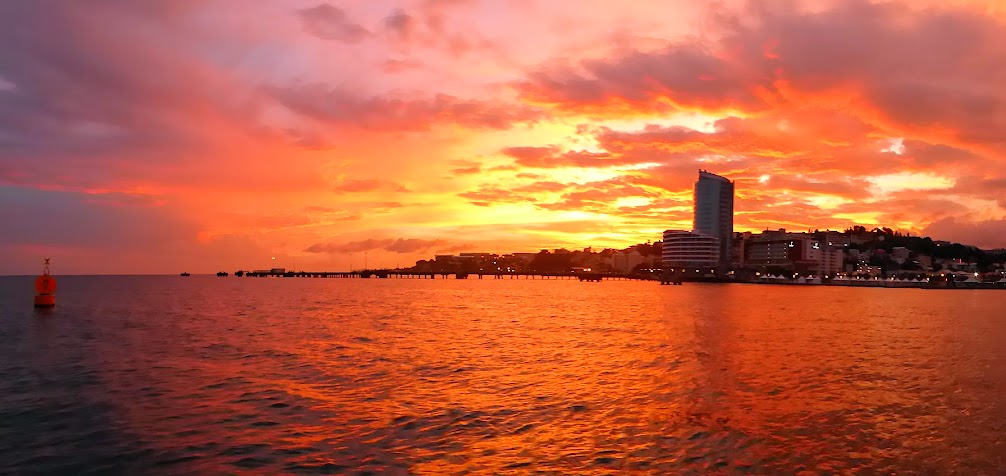
Ok, ok….back to Scott. He and Howard made the half day trip, around St. Thomas and over to St. John, and the anchored in Maho Bay, on the island’s northeast side. Along the way, views of massive houses; once there, a beautiful sunset.

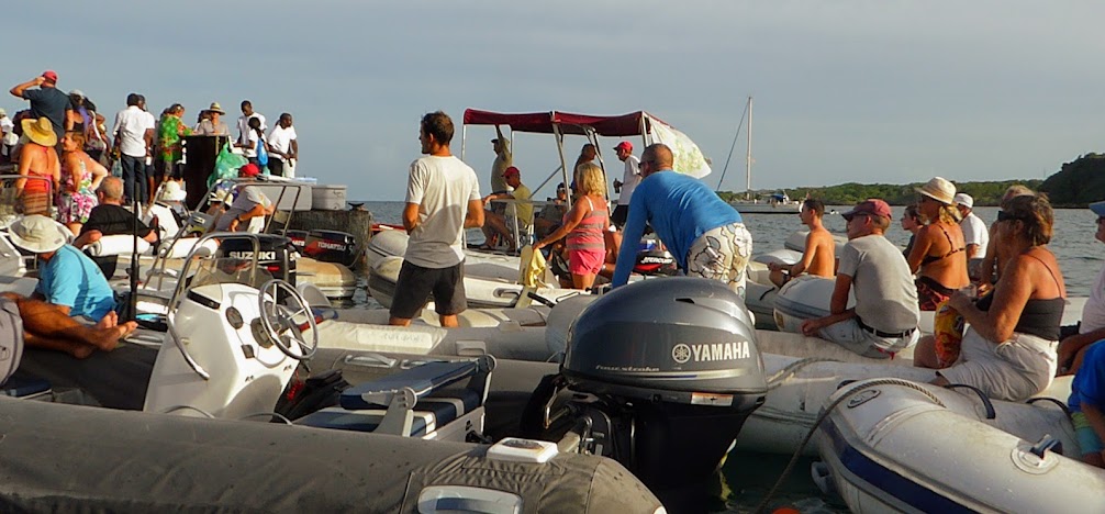
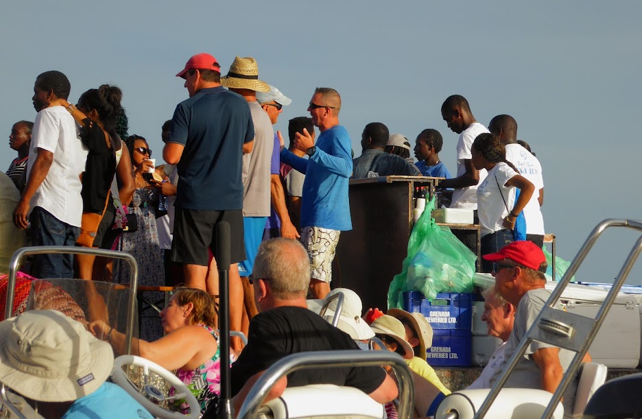
From there, he headed around the eastern end of island, to Round Bay. While there, he visited Angel’s Rest Bar, run by Capt’n Peter.
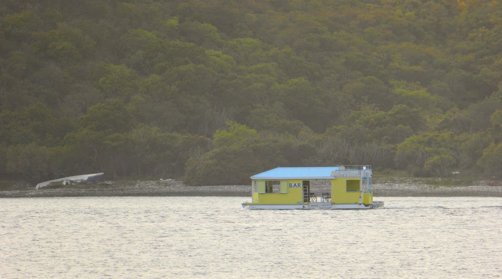
On most days, the bar travels from it’s home in Coral bay, around to an area called Hurricane Hole Bay. Anchoring off of different beaches, it opens for business and patrons swim out to buy drinks and spend time (scary, when you consider that they have to swim back, after said time). The bar offers two things: a cup of beer, or a cup of rum with a splash of punch, each for $5.00. The bar closes when Capt’n Peter gets too drunk, or the alcohol runs out, whichever comes first.
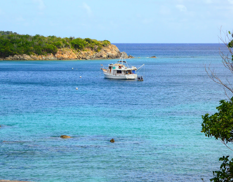
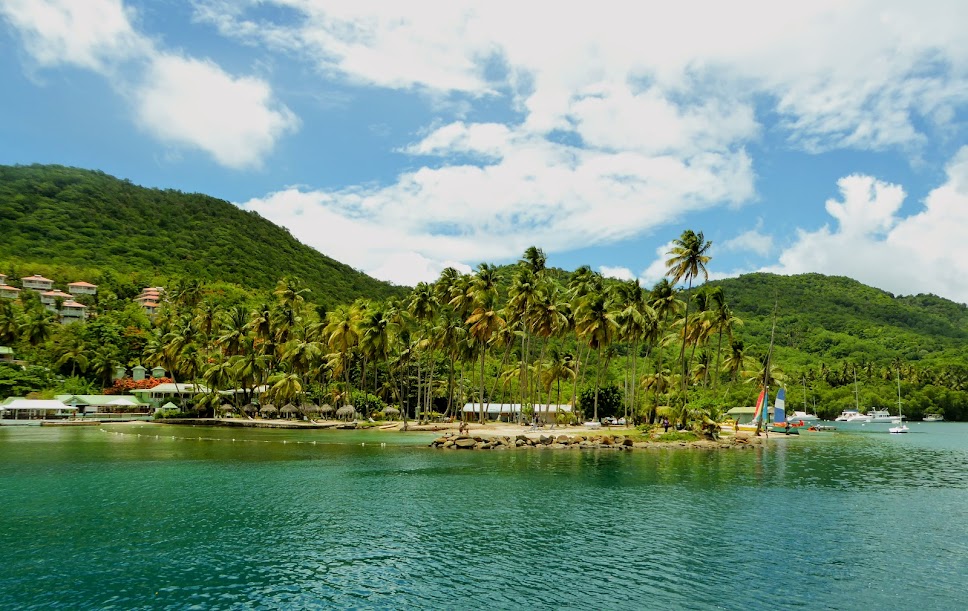
Next, Scott headed to Little Lameshur Bay, on the south side of St. John, for some hiking.
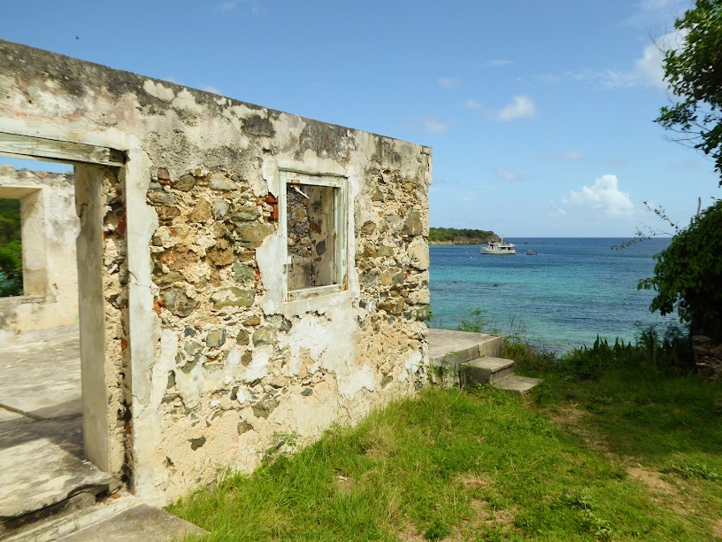
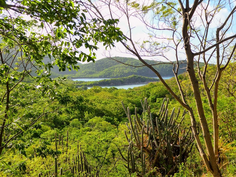
He planned to walk around to Reef Bay, and do the Reef Bay hiking trail (fyi, Caribbean Travel and Life Magazine lists the 2.5 mile trail on St. John as one of the 10 best hikes in the Caribbean). The path to Reef Bay took him past several ruins, and offered scenic water views.

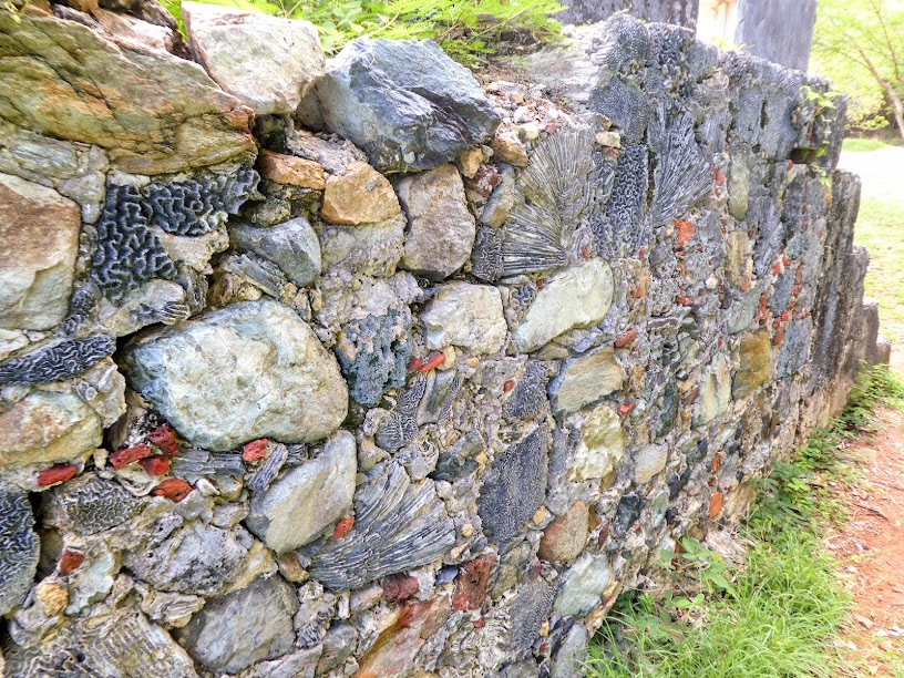
He also passed a wall constructed of rock and brain coral. This coral was very useful as a building material, as it could be easily cut when still wet to fit into unusually-shaped areas. It was then put in the sun to dry, where it would harden.
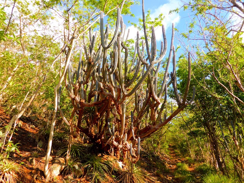
Although very green, Scott was surprised how arid St. John was, as he passed by many large cactus plants along his way. Since leaving Mexico, in March of 2016, we’ve been surrounded by wet, tropical foliage.
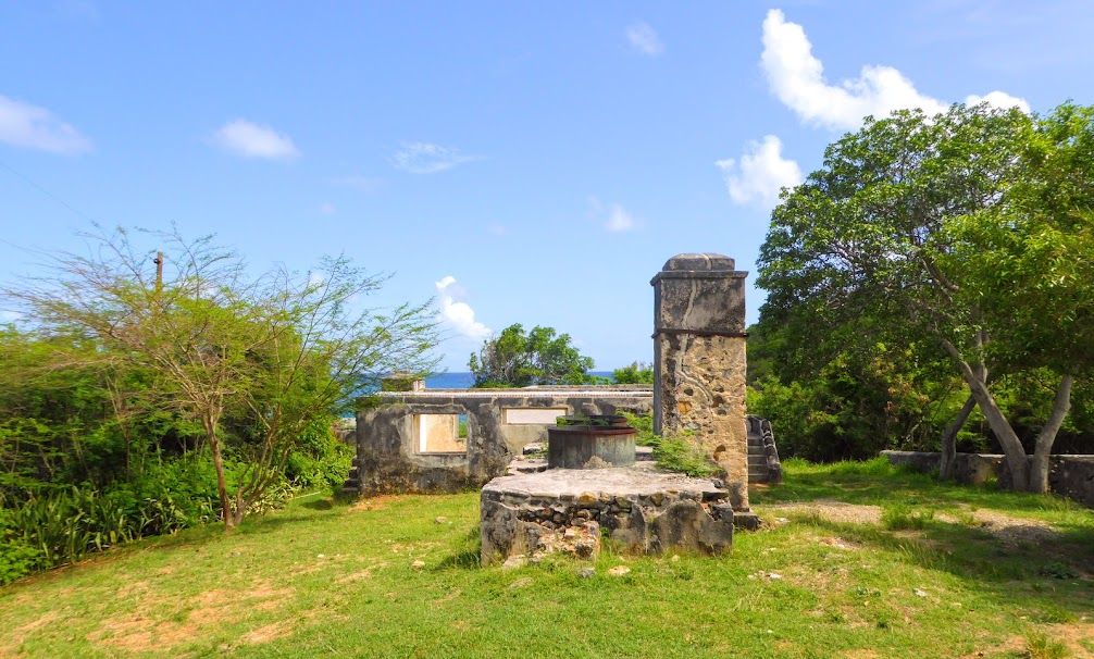
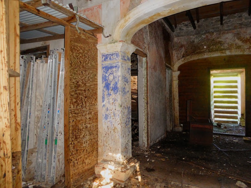
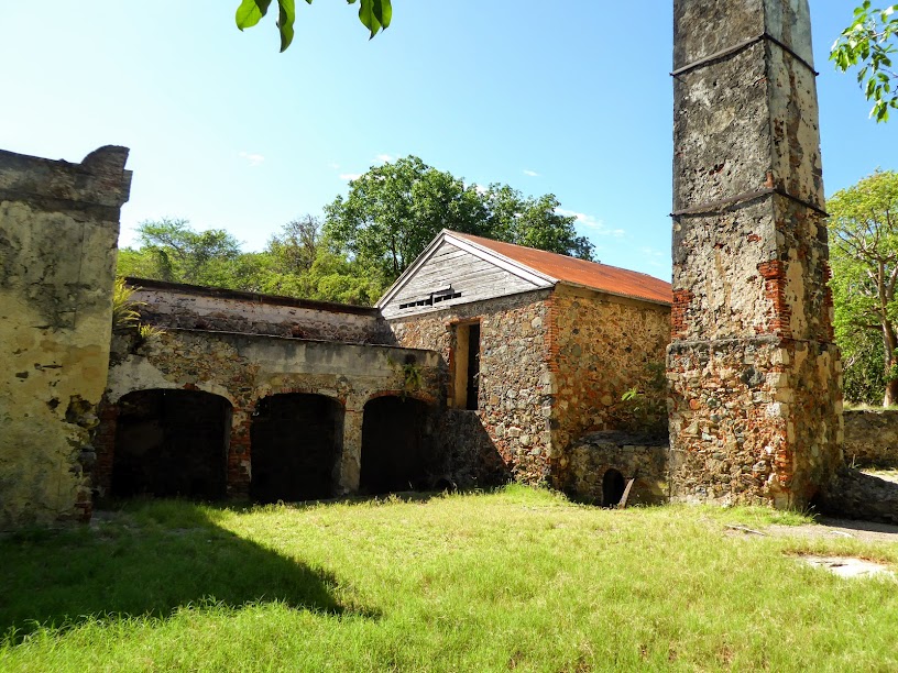
Eventually, he came to Reef Bay, and the ruins of the Reef Bay Estate House.


The house was built in 1832, and reconstructed in 1844. In 1994, it was partially renovated by the National Park Service. After being cleared in 2009, the historic estate house has been left to deteriorate.


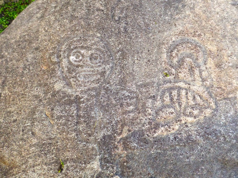
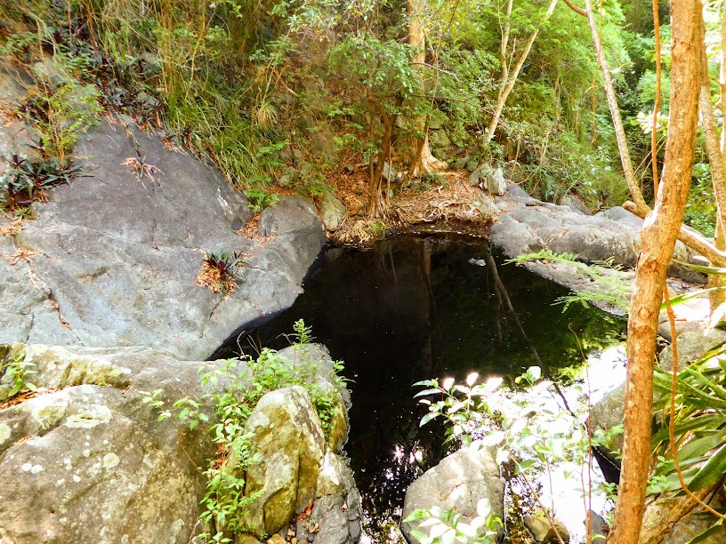
Next, Scott came upon the famous St. John petroglyphs, They are rock carvings made by the Taino Indians, as early as 500 AD. The petroglyphs depict faces and symbols, and are situated along the edge of a spring-fed pool. The pool level never changes, so the carvings are always perfectly reflected in the water.

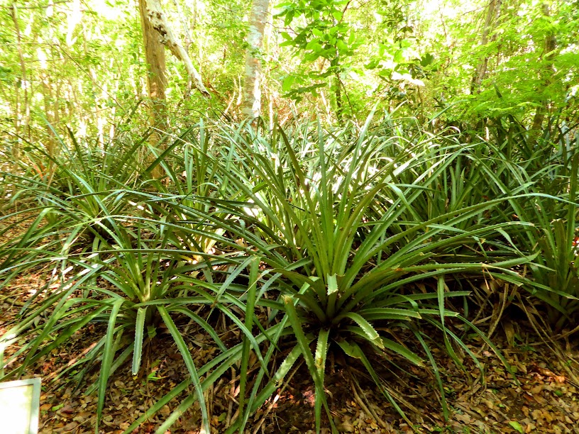
Scott passed many field stone walls, and wild pineapple. The plants thorny leaves made for good use as barrier hedges and living pasture fences.

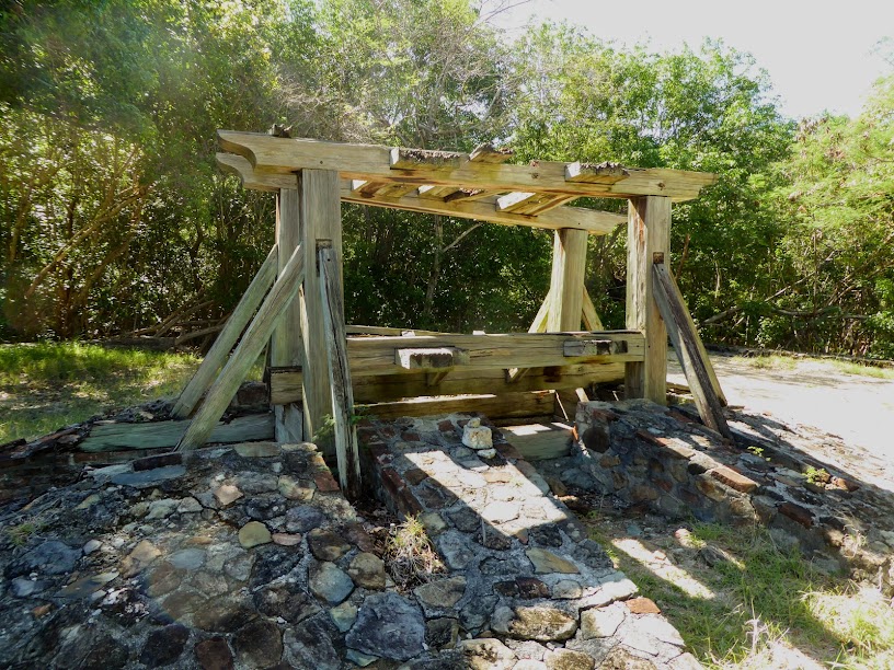
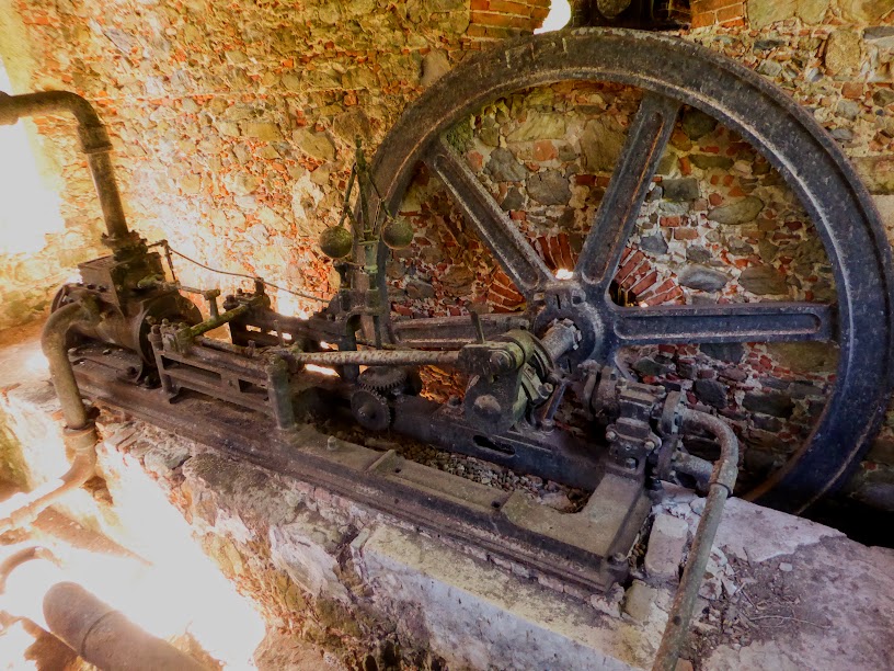
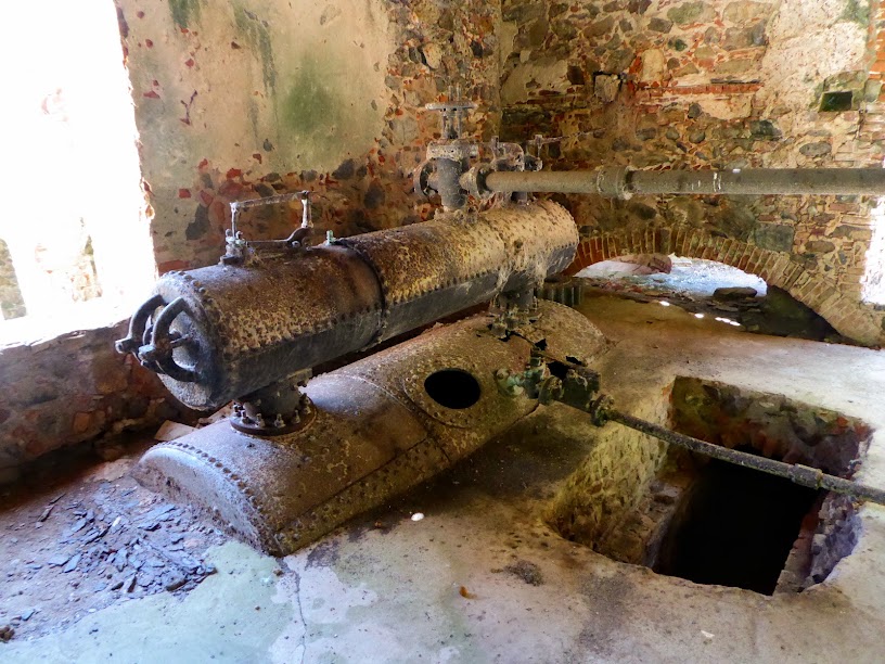
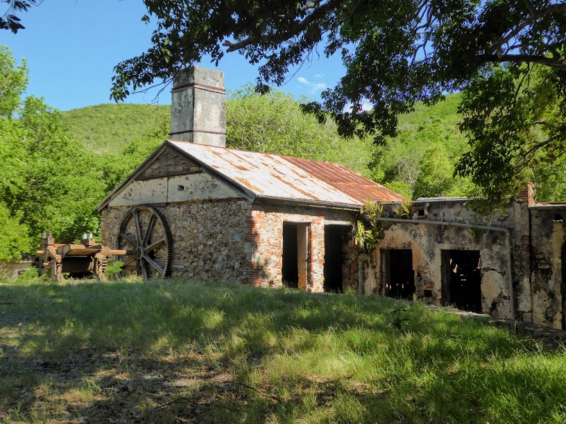
Finally, Scott came to the ruins of the Reef Bay Sugar Mill.
The sugar mill industry died twice on St. John. In plantation days, slaves brought bundles of cane to the horse mill to be crushed.

After Denmark abolished slavery, and St. John’s other mills began to collapse, Reef Bay’s new owners tried to revive the dying industry by installing steam power to crush the cane (the first of its kind). This one was built in Glasgow Scotland, in 1861, and is in surprisingly well intact.
By the early 1900s, a depletion in soil nutrients from sugar cane overgrowth, in addition to the introduction of the sugar beet in Europe, led to a decline in St. John’s sugar production. Reef Bay was the last operating sugar mill on the island, and most of the property was sold to Rockefeller’s conservation project in 1955.
Scott enjoyed more views of Reef Bay, before heading back to Sea Life, moored in Lameshur Bay.


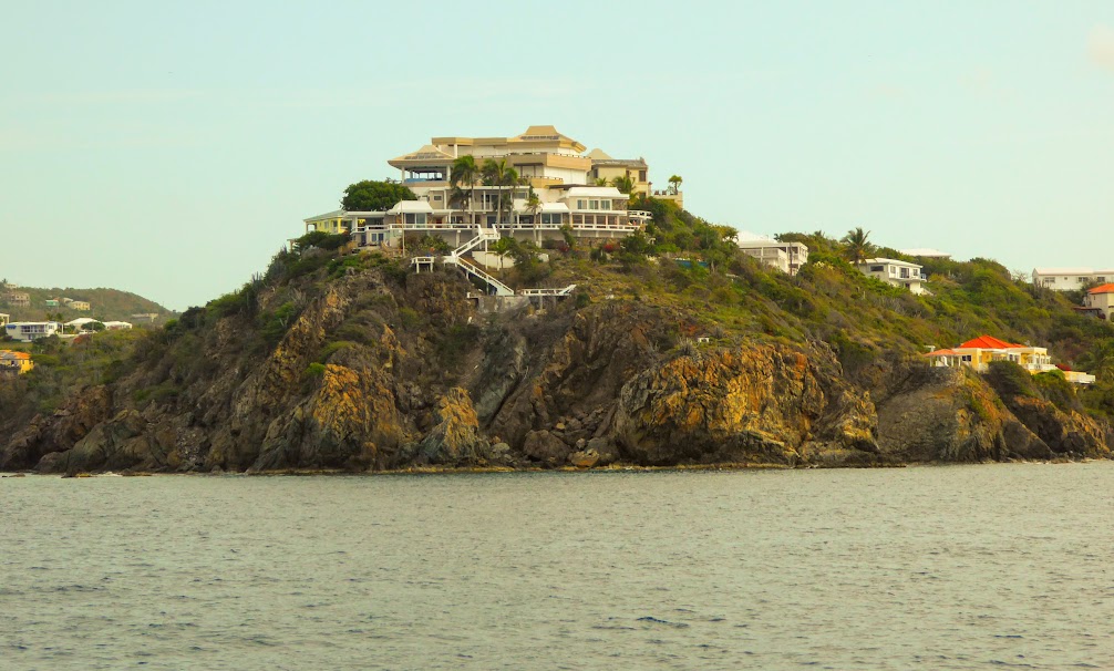
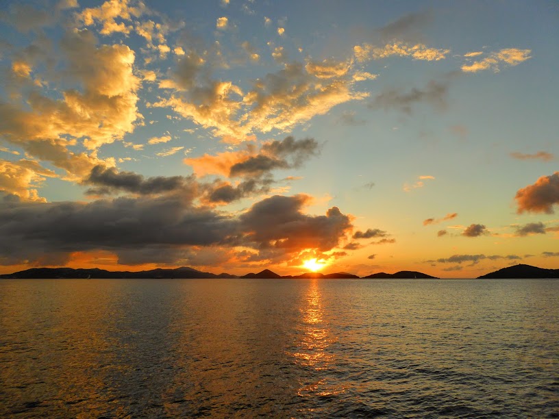
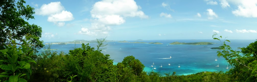
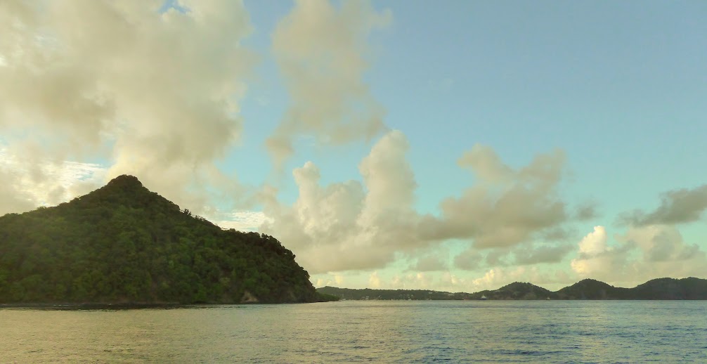
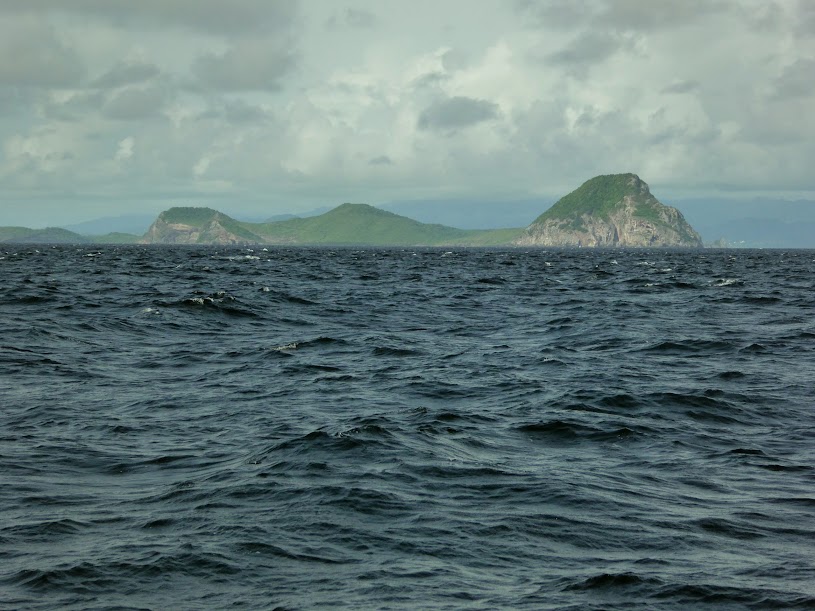
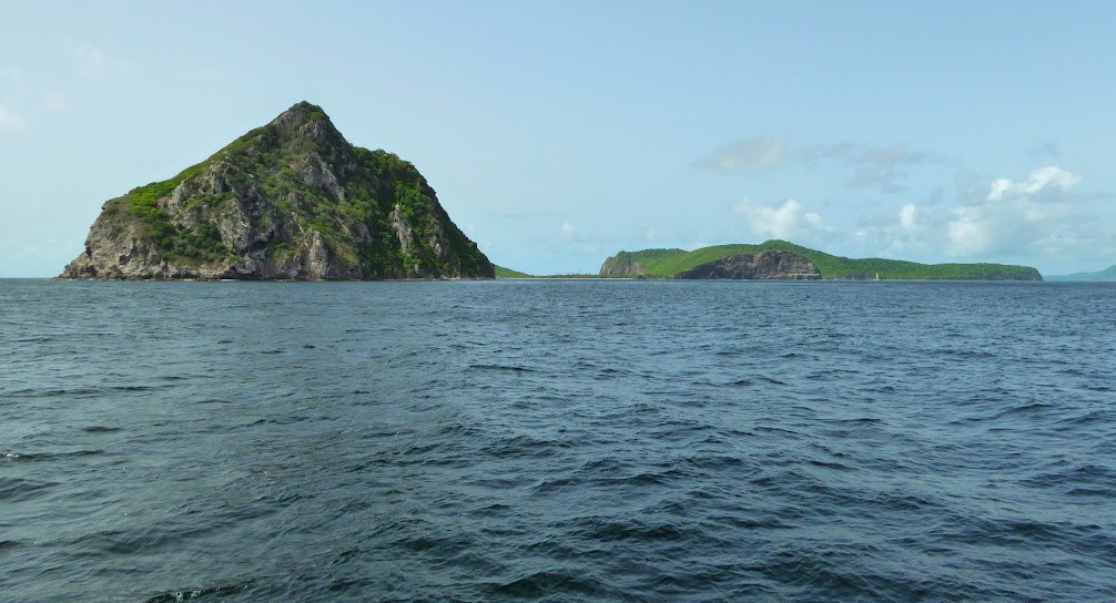
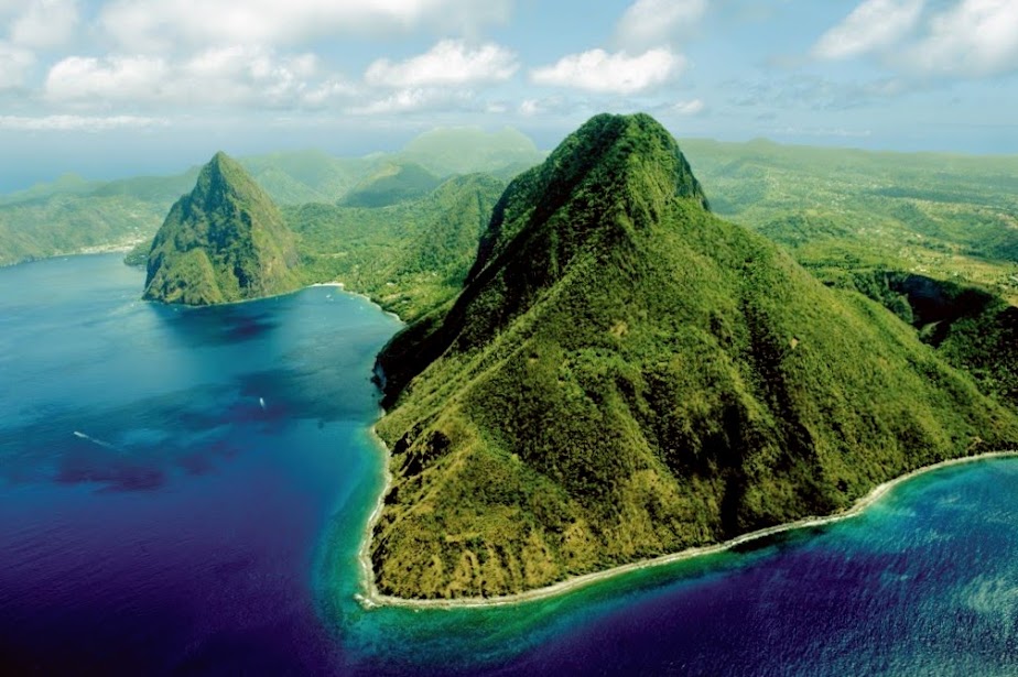
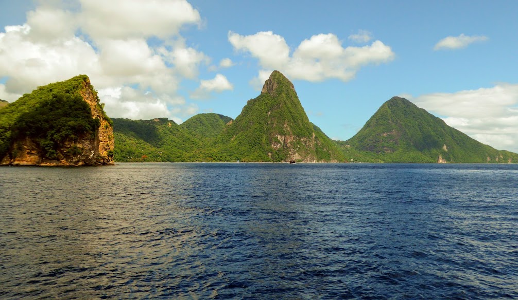
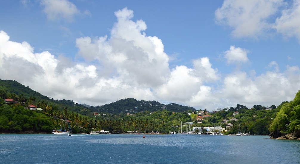
Next stop, Caneel Bay, with more views of huge houses, and a sunset overlooking the British Virgin Islands.
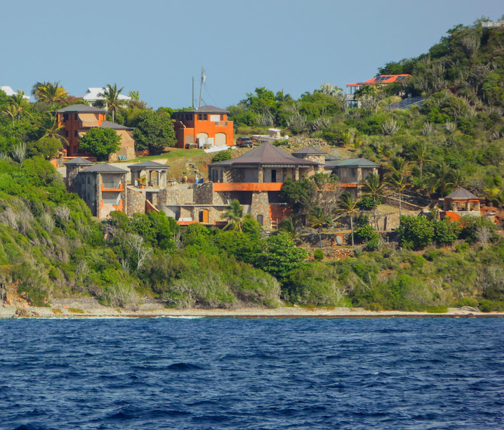
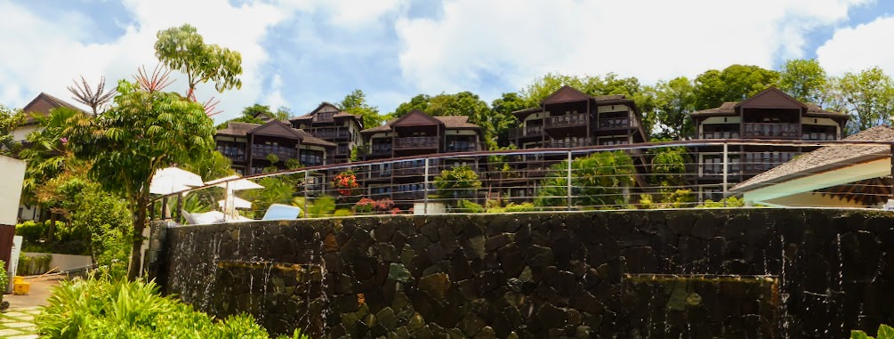
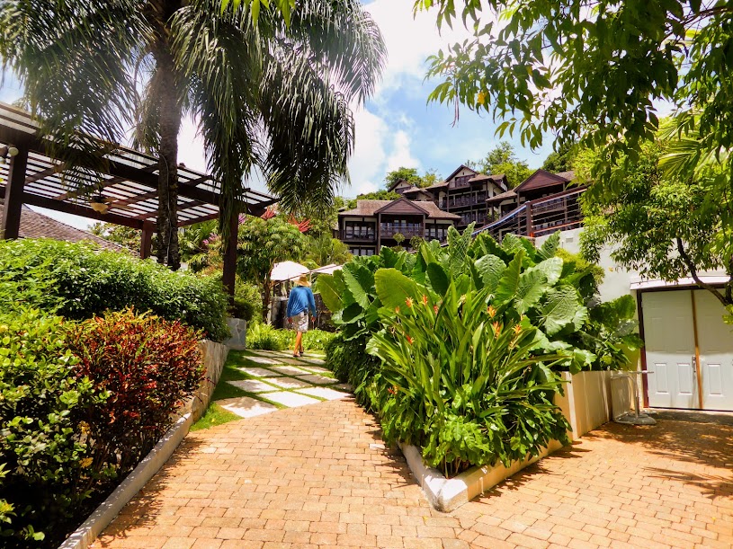
While moored in Caneel Bay, off of the famous Caneel Bay Resort, Scott noticed the beach tightly lined with lounge chairs…not a normal sight. With a lazy day in the sun already planned, Scott set his chair in the sand, and then wandered down the beach for a look-see.
As he neared the resort, it became clear that each lounge chair had it’s own snorkel gear, towel and logo-ed tote bag. People were milling about, and as Scott chatted with one or two of the guests, he learned that there was a company function going on; a pharmaceutical company was celebrating the release of a new drug.
On his way back through the throng of lounge chairs, Scott was stopped by a server, who offer him a drink. He politely declined…until the third offer; after that, it was open season. Several cocktails later, a server came over to announce that lunch was being served in the nearby tent…excellent! Scott helped himself to a plateful of food, and then returned later, through the back of the tent, for seconds.
Wanting to preserve good karma, Scott “paid it forward,” by sharing the intel on how to gain a free lunch with a young, budget-challenged-looking couple who’d set up camp on the beach near him. Feeling that he’d kept his good karma intact, Scott headed back to Sea Life with a belly full of free food and drink, and enjoyed a post party-crashing nap. A satisfying day all around.
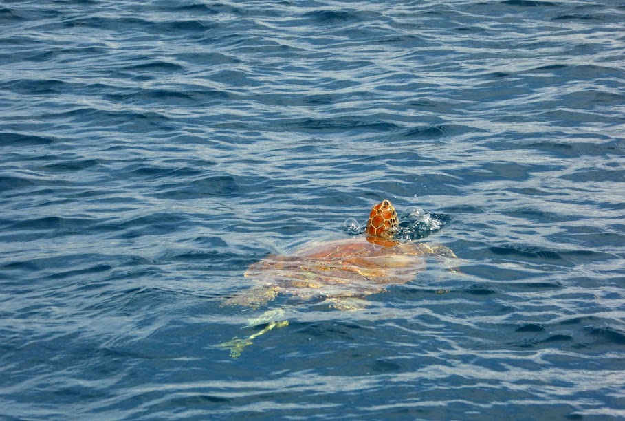
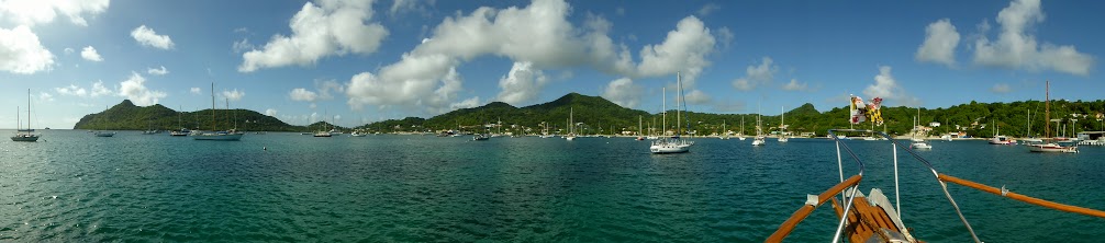
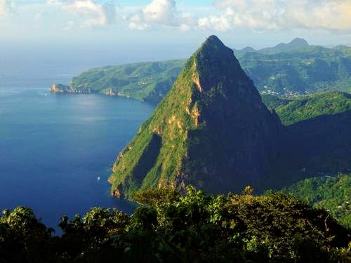
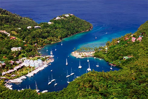
Over the next day or so, Scott saw many turtles moored, and hiked up the island for a stunning views of Caneel Bay, the resort below, and the Brisith Virgins off in the distance.

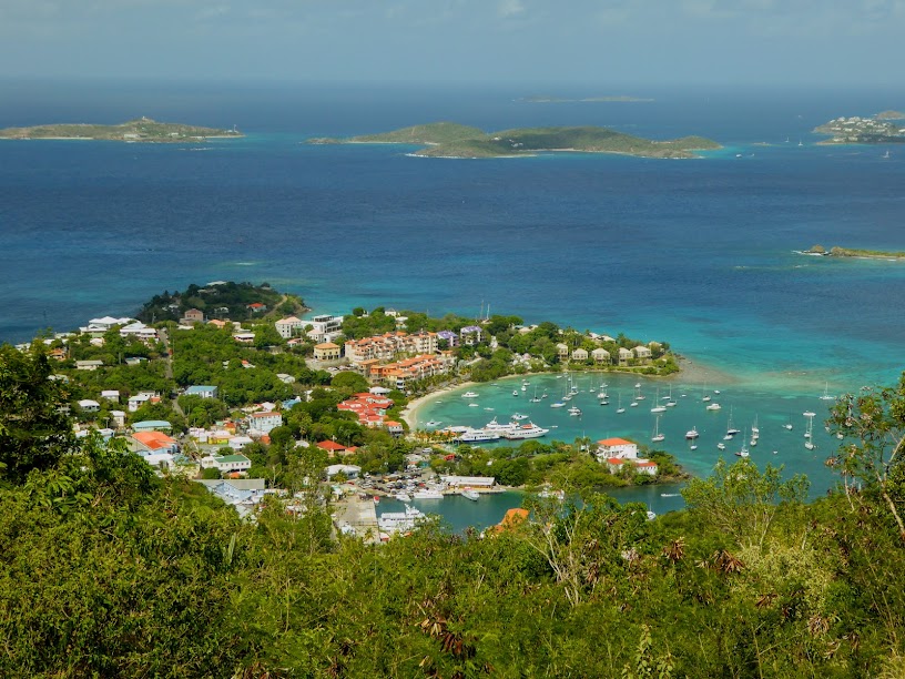
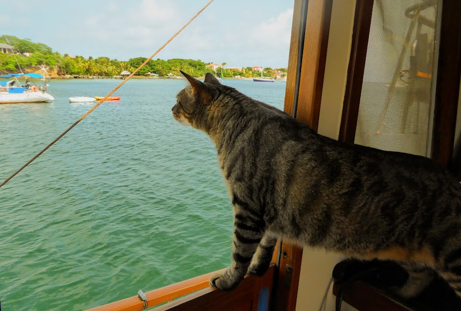
And of course…Sea Life moored below.
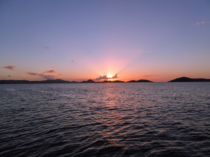
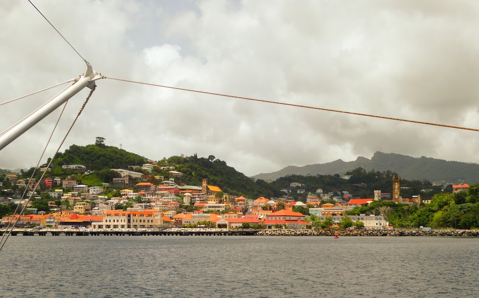
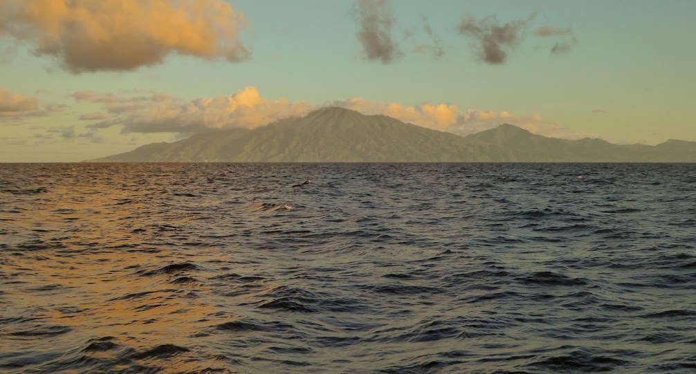
By now, Scott had circumnavigated, and conquered, the island. He enjoyed one last St. John sunset, and then made his way back to St. Thomas. I was flying back from the states, and it was time to set Sea Life on a path to Grenada.
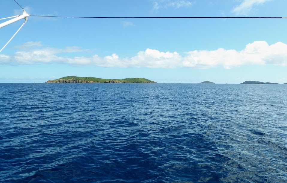
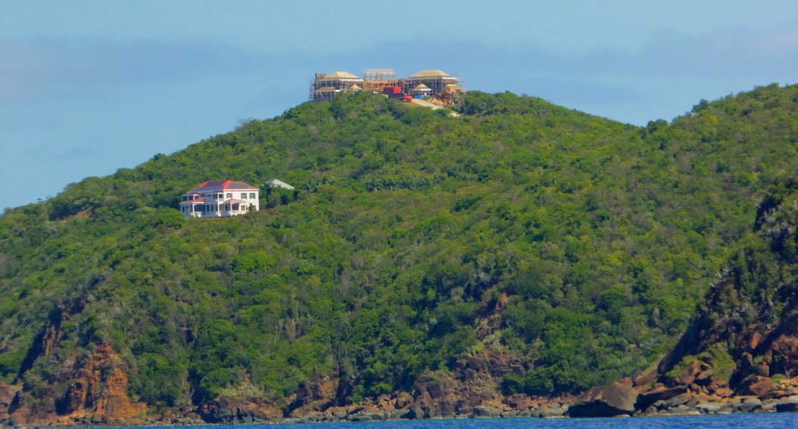
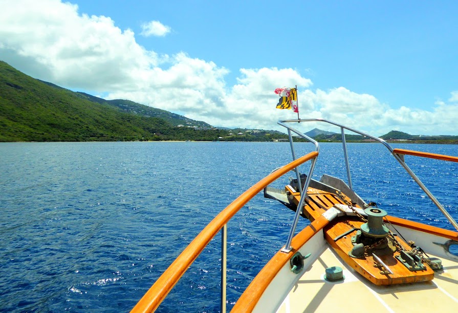
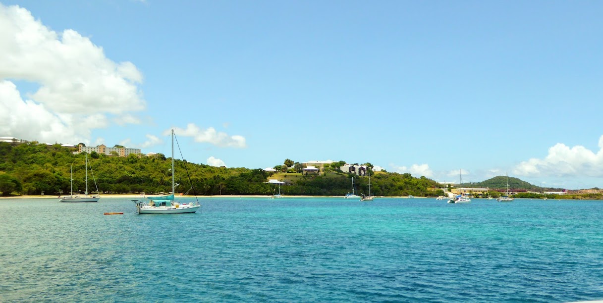
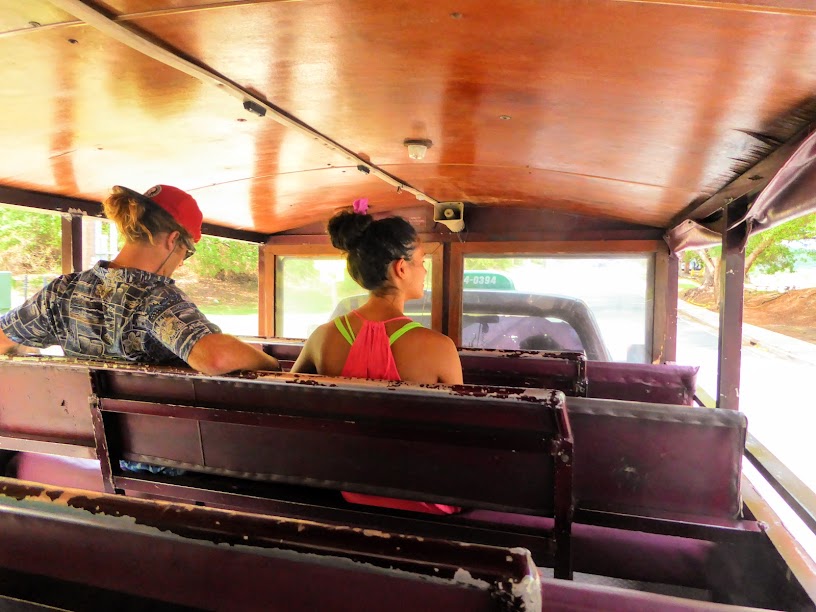
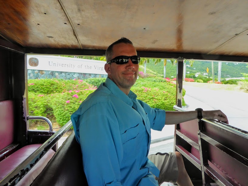
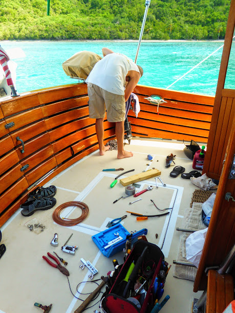
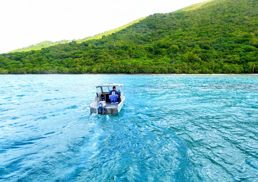
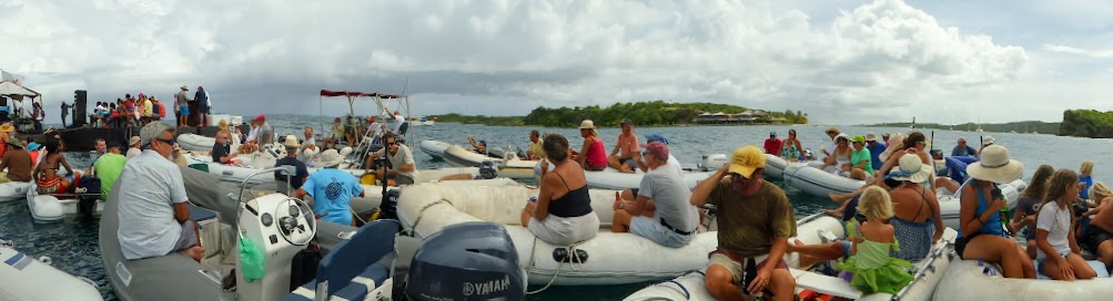
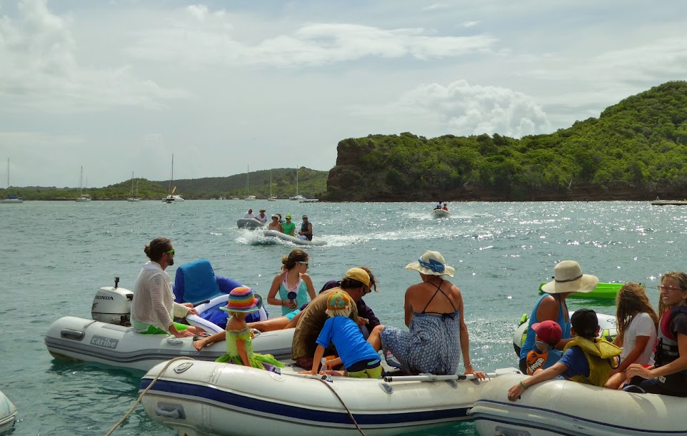
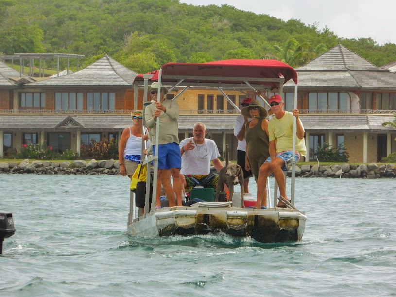
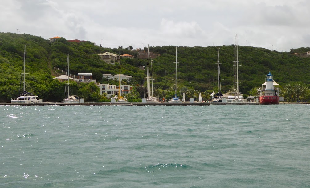
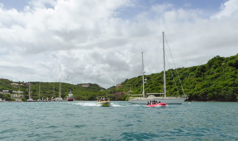
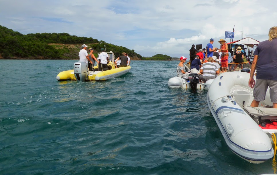
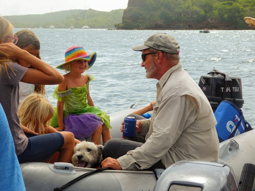
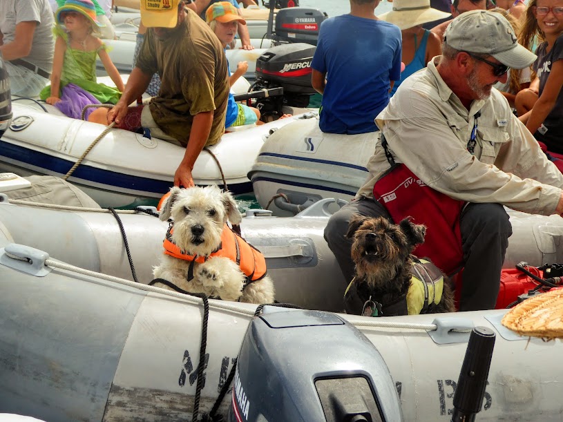
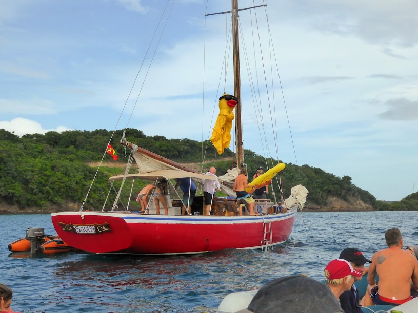
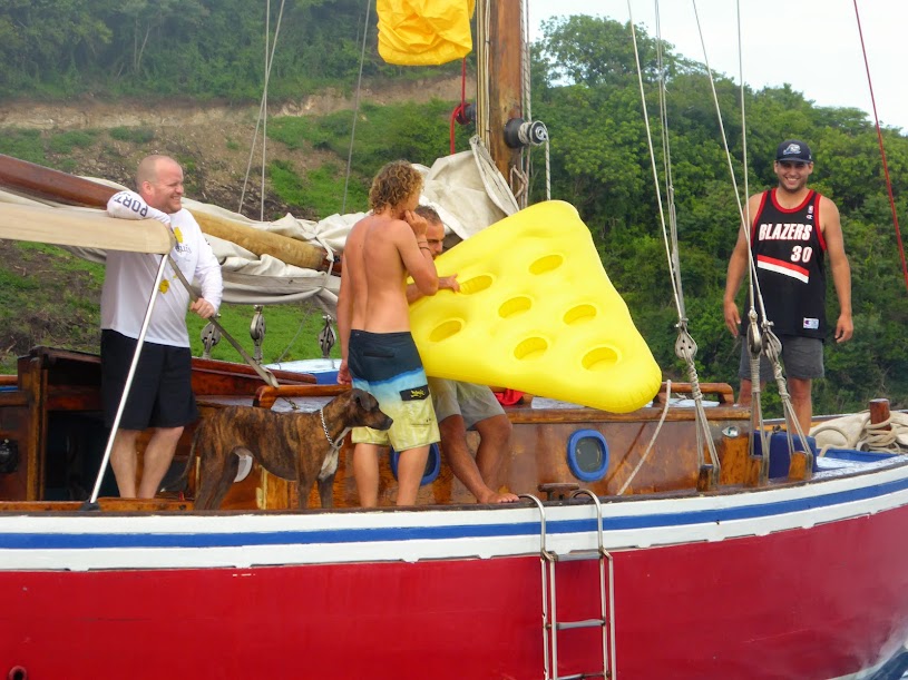
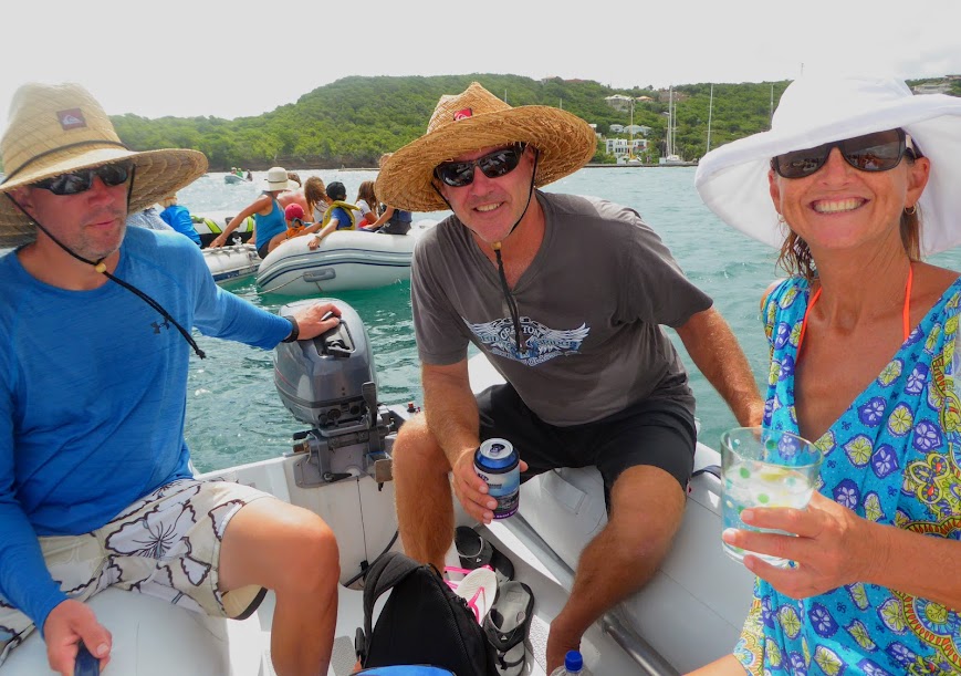
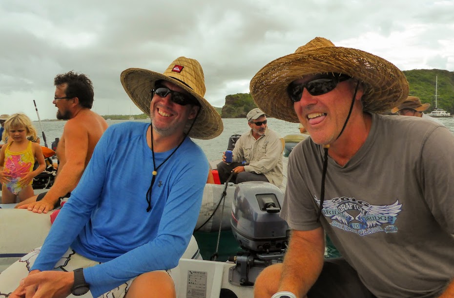
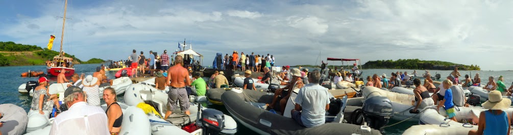
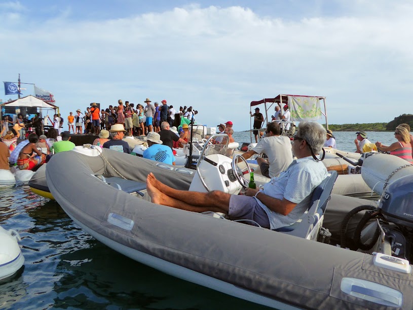
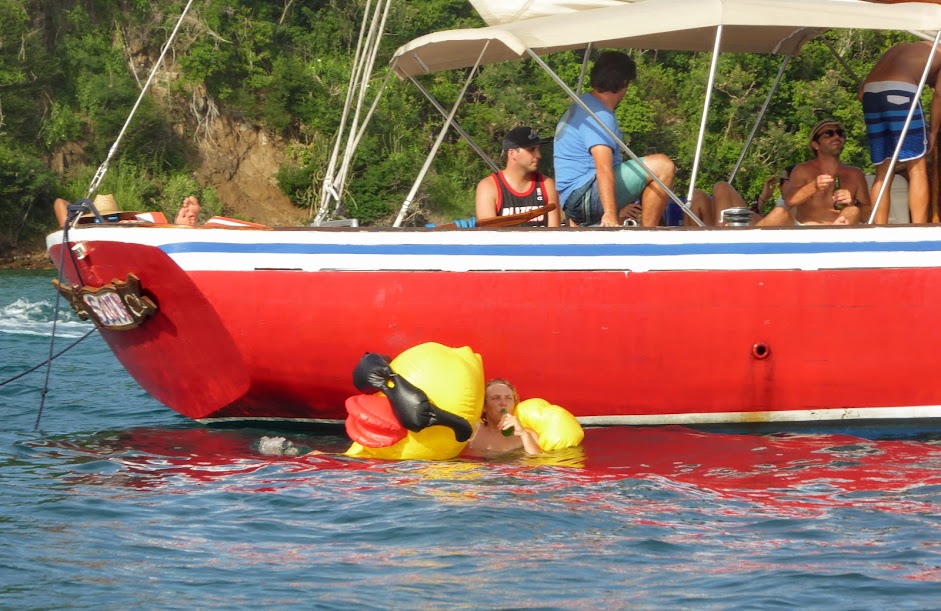
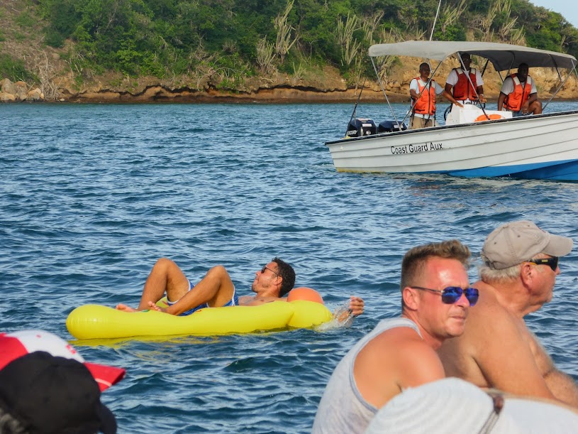
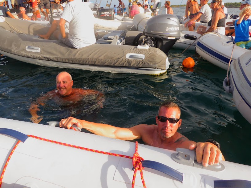
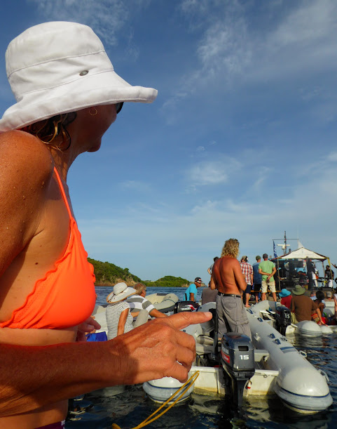
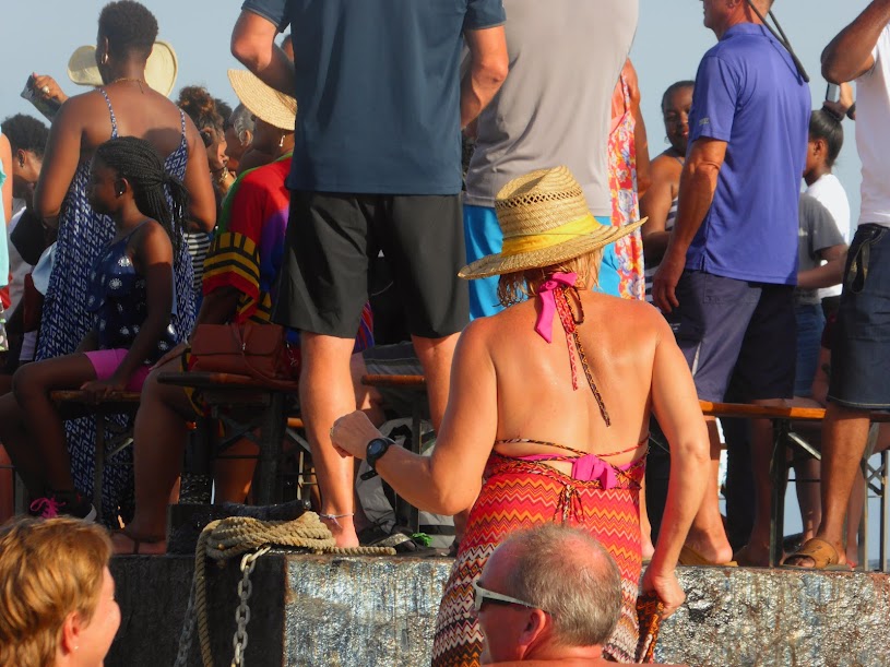
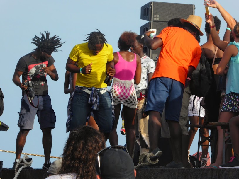
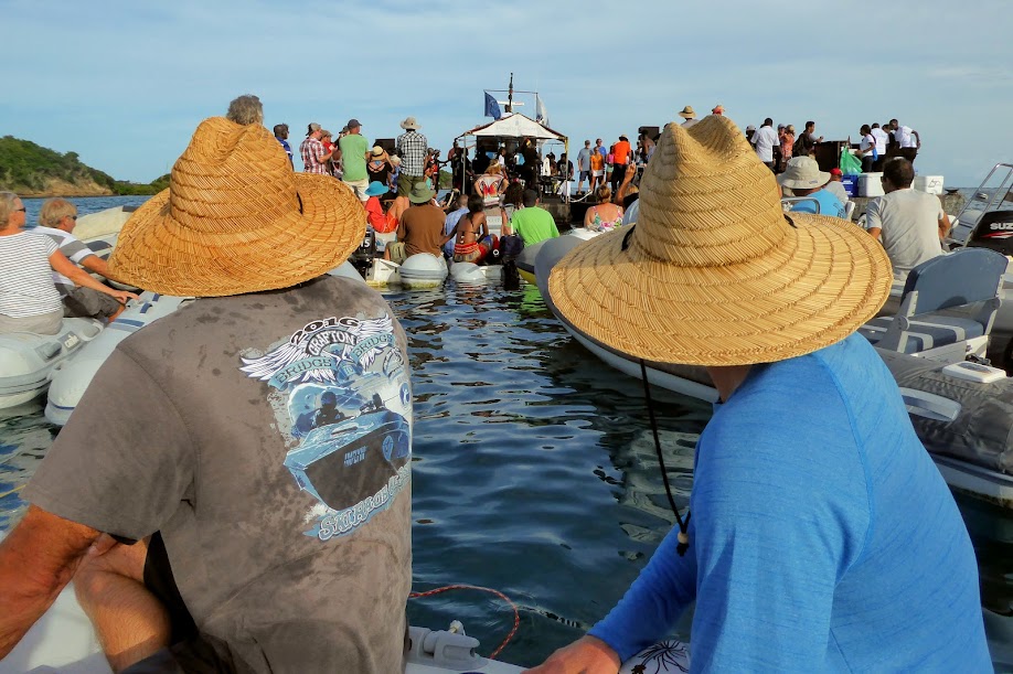
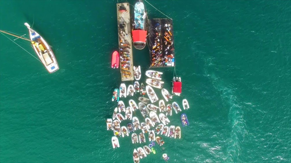
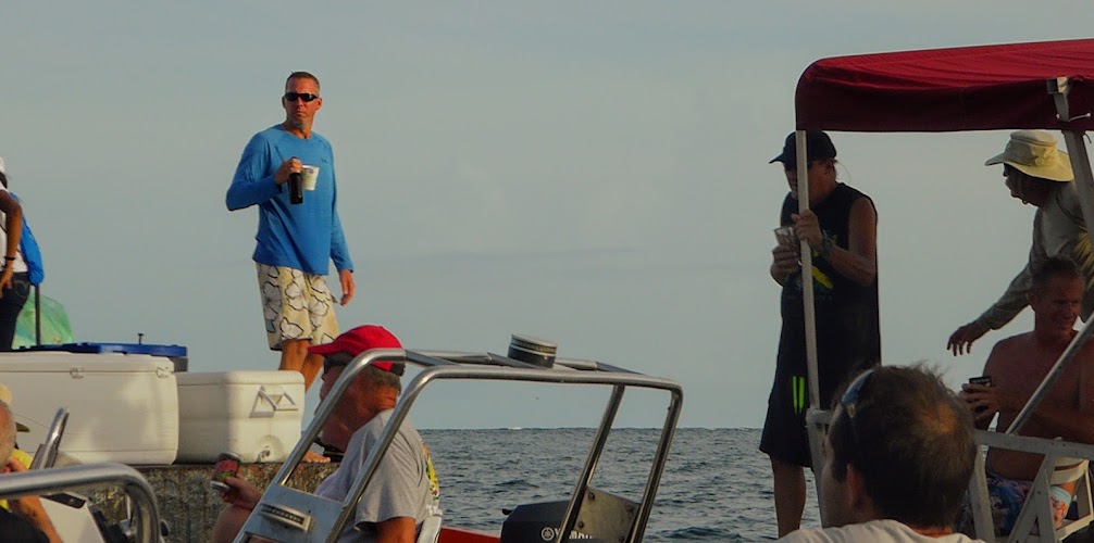
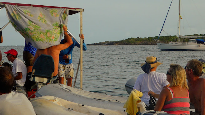
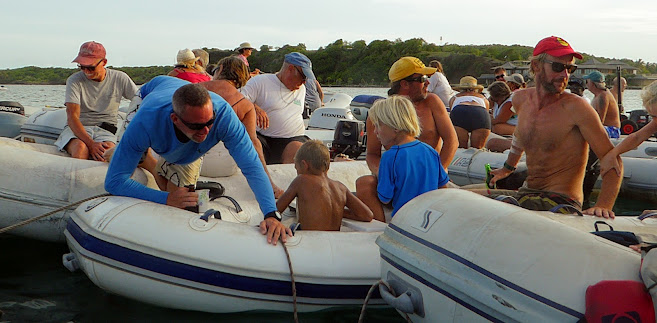
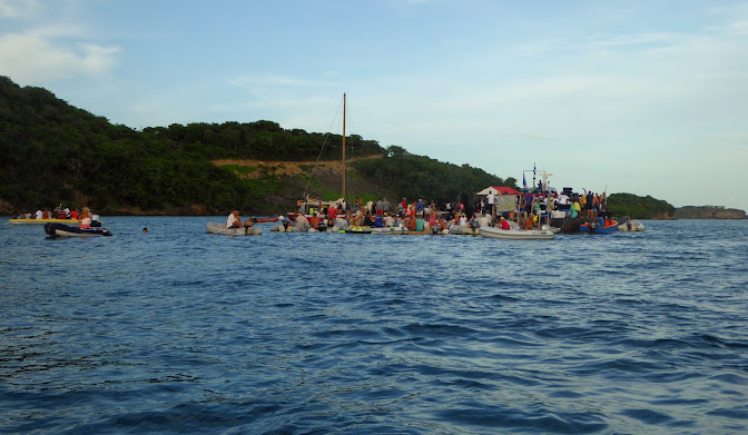
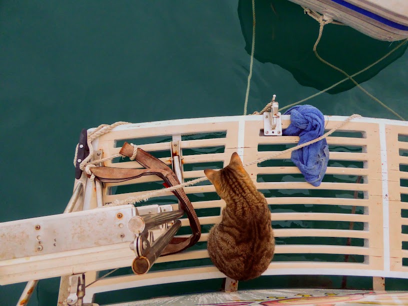
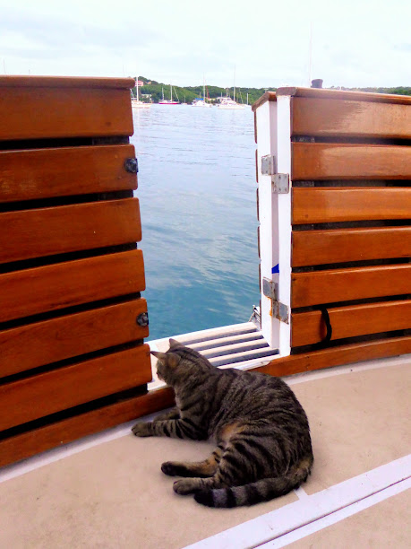
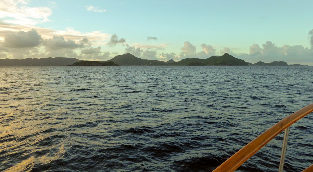
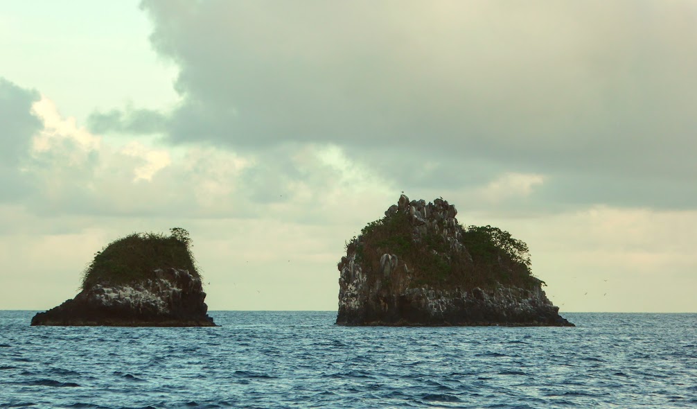
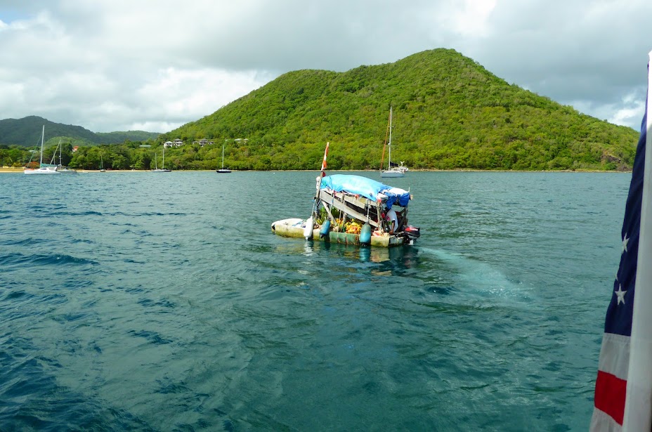
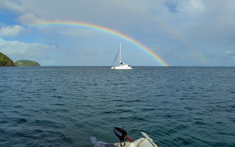
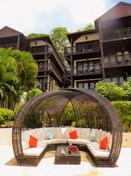
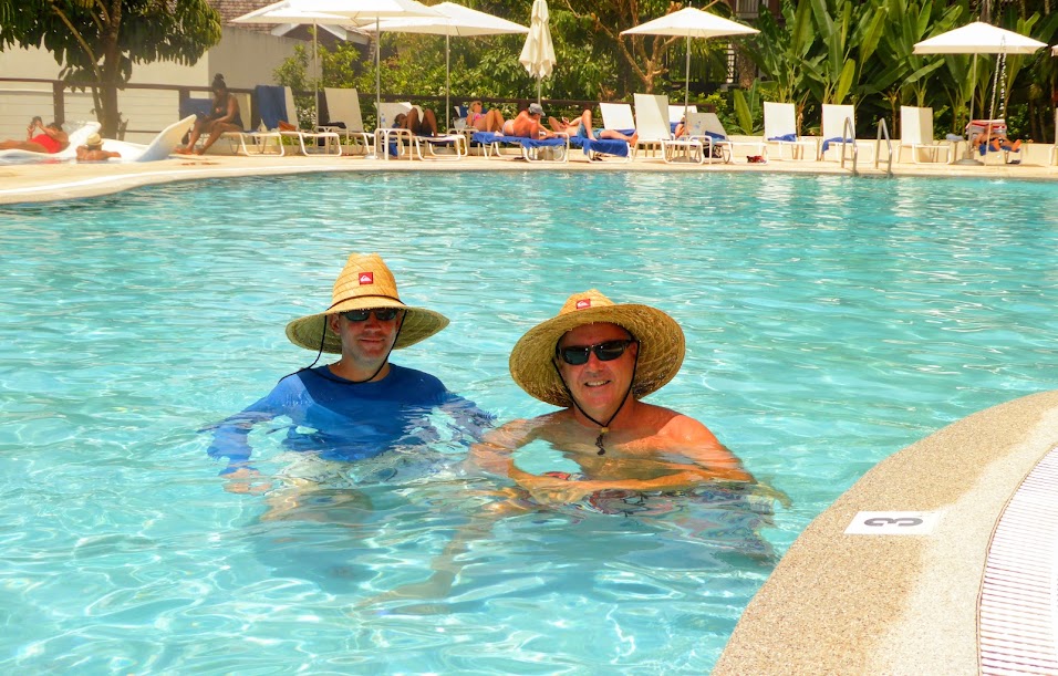
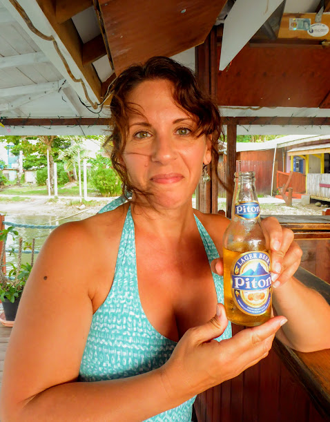
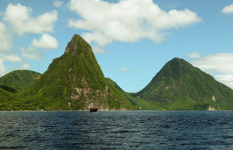
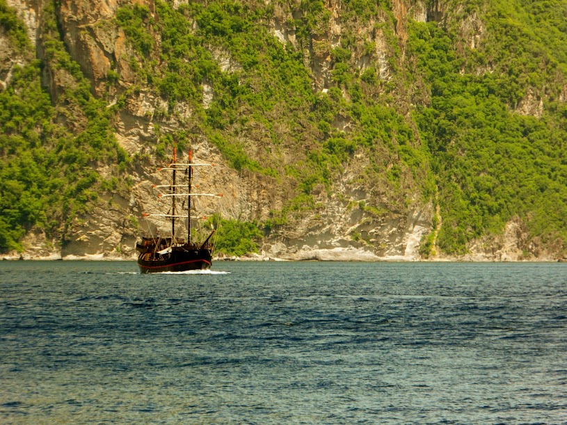
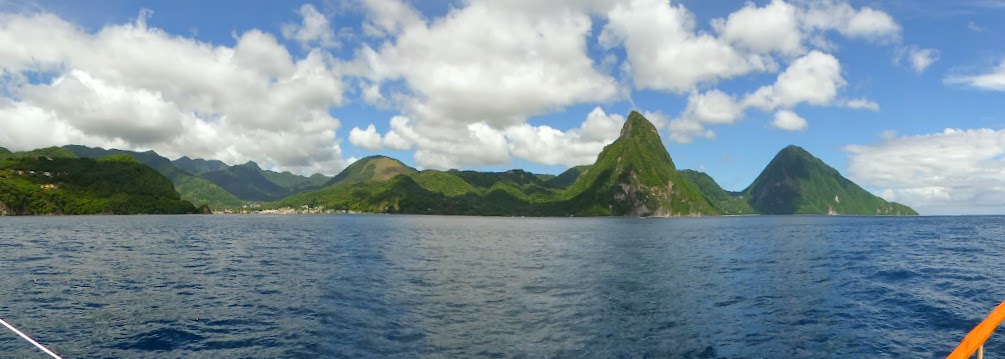
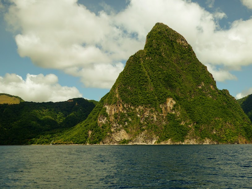
Here are many more photos, Scott’s time in St. John.
“Shells Sink, Dreams Float. Life’s Good On Our Boat!”


![[Image of probabilities of 34-kt winds]](https://i0.wp.com/www.nhc.noaa.gov/storm_graphics/AT05/refresh/AL052017_wind_probs_34_F120%2Bpng/115433.png?w=676)


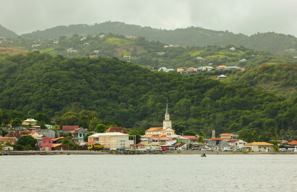

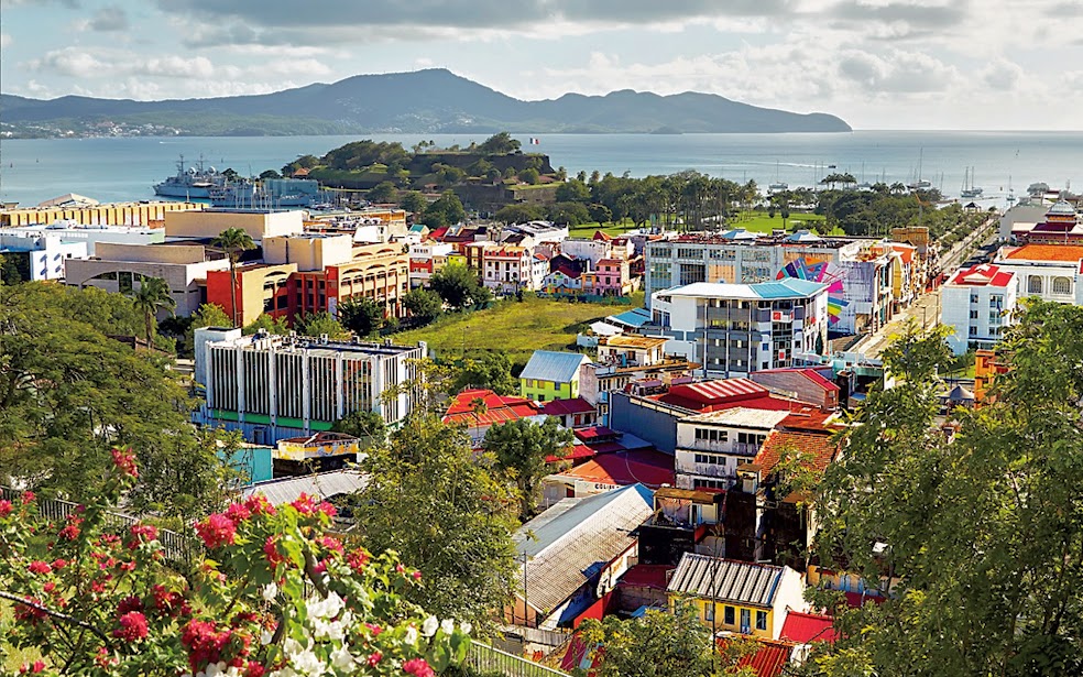


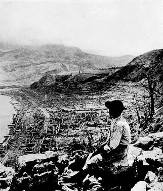
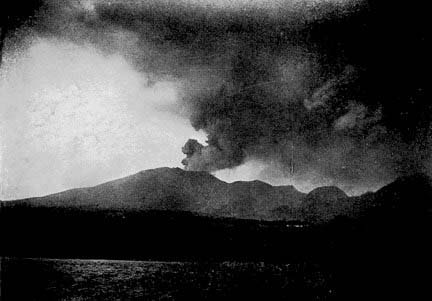
 The city of Saint-Pierre was never fully restored to its former self. However, it is now referred to as a city of art and history. There were many reminders of the eruption’s damage, as we walked the streets.